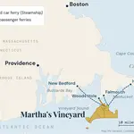
Martha's Vineyard, off the coast of Massachusetts, is bigger than most first-time visitors expect. These are the numbers, plus a quick look at what fills all that space. For where the island sits and how to get there, see our map and guide to where Martha’s Vineyard is.
Filmed January 2026
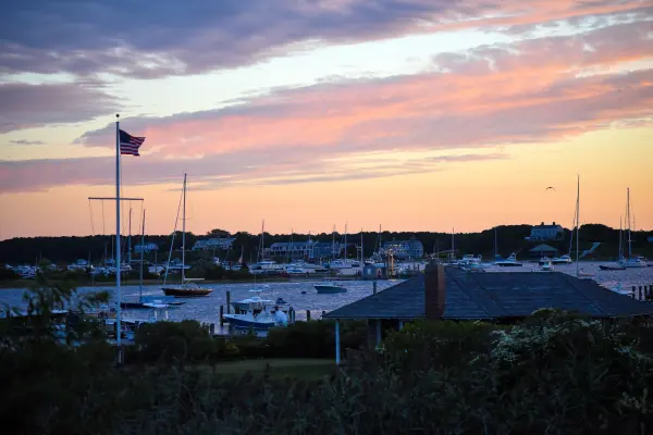
Island-wide · a sunsetPhoto by MV Vacation
Size and geography
Martha's Vineyard covers about 96 square miles, which makes it one of the largest islands on the East Coast, though smaller than Long Island and Mount Desert Island. Roughly, those 96 square miles hold:
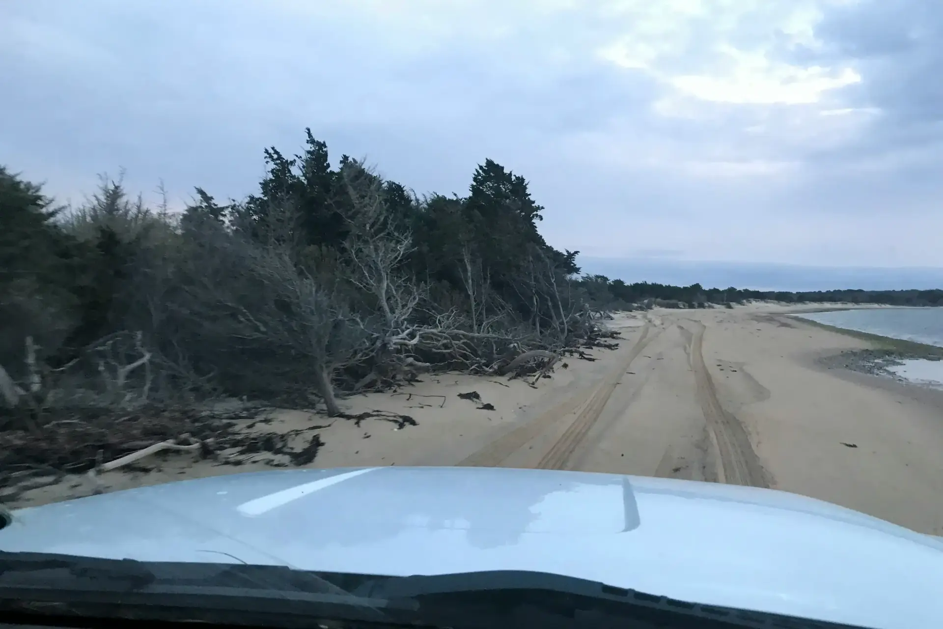
Vineyard Haven · an empty beachPhoto by MV Vacation
Ninety-six square miles leaves room for shorelines like this one with nobody on them.
Beaches: the coastline runs from the flat sand of South Beach to the clay cliffs at Aquinnah, so the beach you get depends on which shore you pick.
Countryside: rolling hills, farmland and woods fill the interior, with plenty of room for hiking and exploring.
Six towns, each with its own feel.
For beach days
The Beach Guide, free
All 20 beaches with parking, stickers, lifeguards and dog rules, plus a one-page card for the beach bag. Free with the island letter, together with three more island guides.
One-click unsubscribe, and we never share your email.
How big that really is
A couple of comparisons help. The Vineyard has about twice the land of Nantucket (46 square miles) and about four times the land of Manhattan (23 square miles), going by the U.S. Census Bureau’s 2020 figures. From West Chop at the northern tip to the cliffs at Aquinnah it runs a little over 20 miles, about an hour in the car.
Most guides, ours included, round the island to about 96 square miles. The Census Bureau’s own count of land in the six towns is a little lower, about 90 square miles, and that count also takes in Chappaquiddick and the small island of Nomans Land, which belongs to Chilmark.
The six towns
What each town is like:
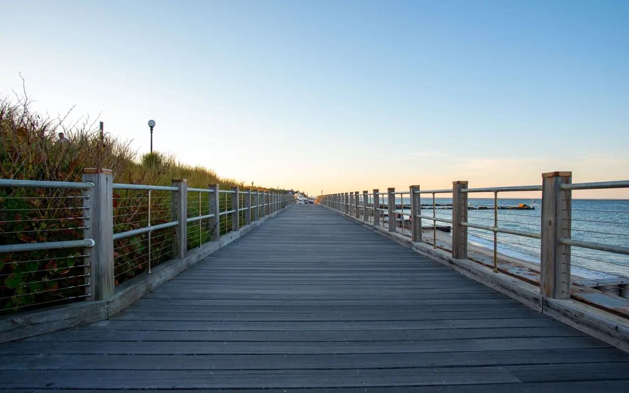
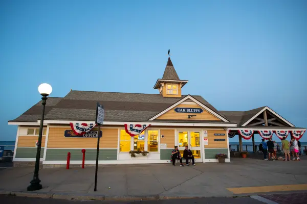
Oak Bluffs · the seawall boardwalkPhoto by MV Vacation
The boardwalk along the Oak Bluffs seawall at dusk, one of six towns on an island you can drive end to end in an hour.
Edgartown: historic architecture and the island's most upscale dining and shopping.
Source: U.S. Census Bureau, 2020 Gazetteer files. Oak Bluffs and Vineyard Haven, the two ferry towns, are among the smallest, which is part of why summer feels busy down-island and roomy up-island.
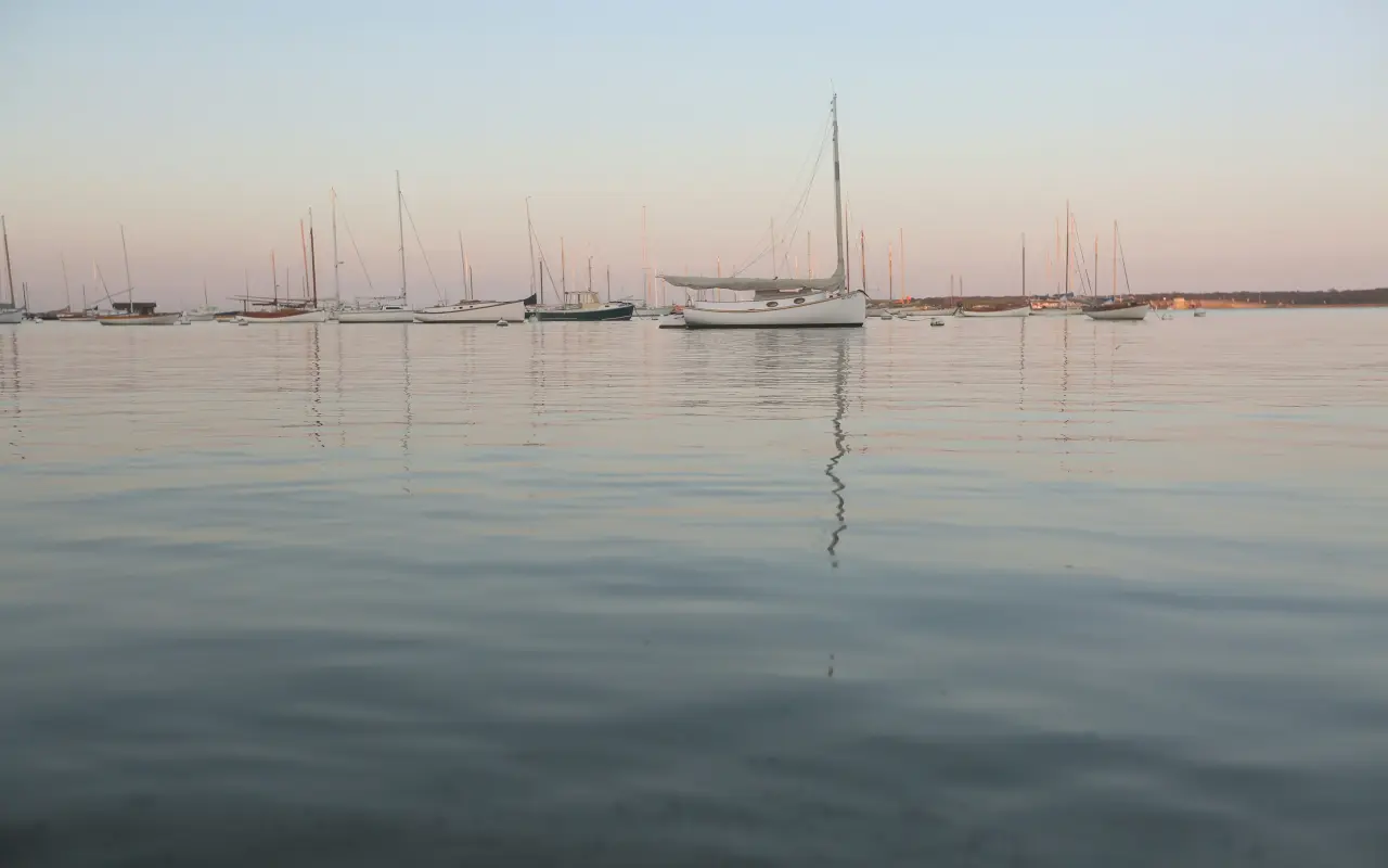
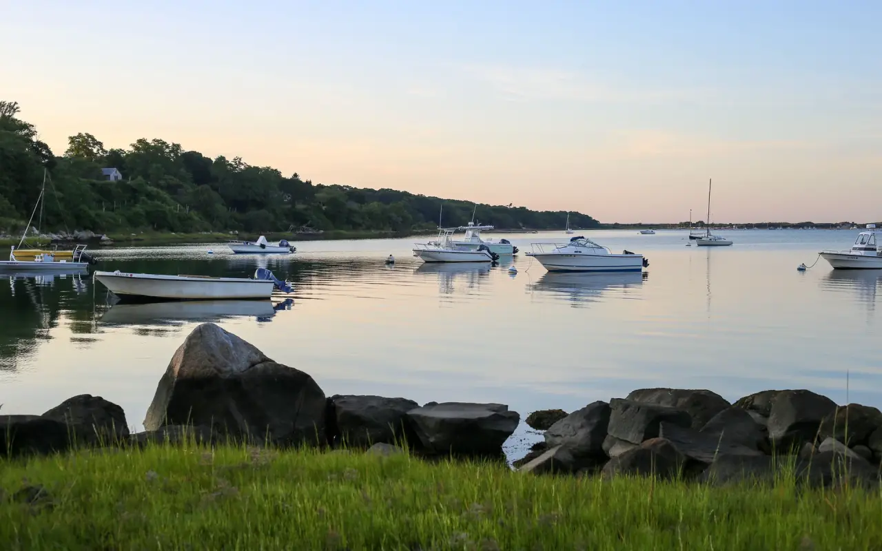
Chilmark · a quiet pondPhoto by MV Vacation
Boats on a calm pond in Chilmark, 19 square miles and one of the quietest towns on the island.
What Martha's Vineyard is known for
The island's reputation comes from more than its size:
Celebrities and public figures have vacationed here for decades, mostly because residents leave them alone.
Martha's Vineyard was the filming location for the movie Jaws.
The island's population swells from about 21,000 year-round to as many as 95,000 on a peak August day, by the Martha’s Vineyard Commission's 2024 estimate.
The highest point
The island tops out at 311 feet on Peaked Hill in Chilmark, part of a reservation run by the Martha’s Vineyard Land Bank. From the hilltops you look out over the south shore, Nomans Land, the Aquinnah peninsula and Menemsha Bight. Dogs need a leash there from April through September.
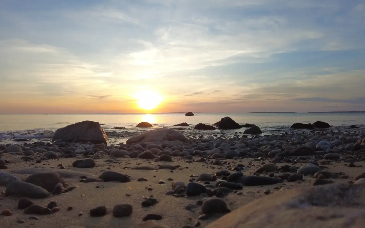
Chilmark · Menemsha HillsPhoto by MV Vacation
Sunset over the rocky shore below Menemsha Hills, also in Chilmark, where the up-island hills meet Vineyard Sound.
Ninety-six square miles is small on a map and big on a bike. Where you stay decides how much of it you see without a car: the three down-island towns sit close together and the bus links them, while the up-island towns are farther apart and quieter. Our Oak Bluffs or Edgartown comparison and where to stay guide help with the choice, and visiting without a car shows how far the bus and a bike will take you.
For a rough budget, the trip cost calculator prices the ferry, lodging and meals by season. For a plan, the day-by-day planner spreads the island over your days so the drive to Aquinnah does not eat the afternoon, and the 3-day itinerary is a good starting shape.
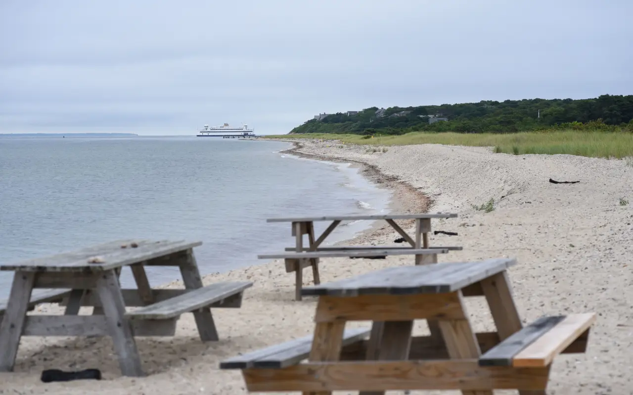
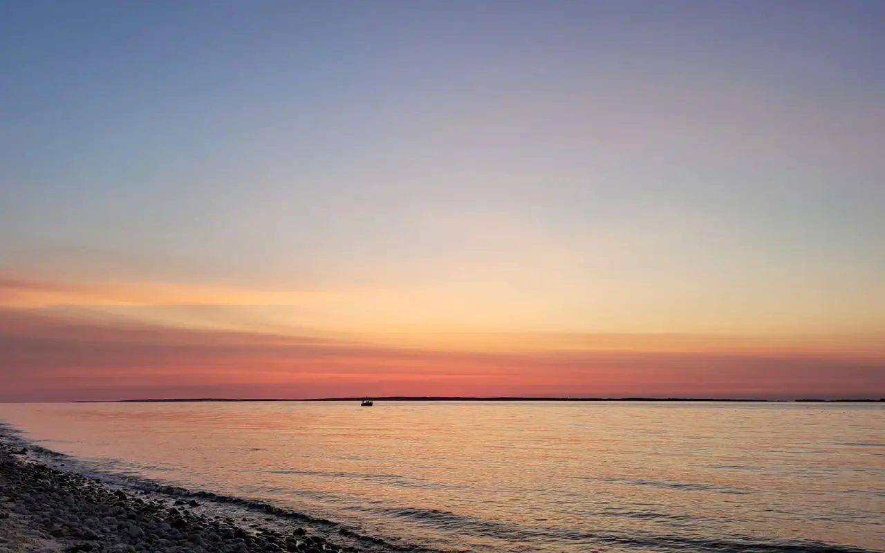
West Chop · sunsetPhoto by MV Vacation
Sunset over Vineyard Sound from West Chop, the island’s northern tip, twenty miles from the cliffs at the other end.
Is Martha's Vineyard the biggest island on the East Coast?
No, but it is close. At about 96 square miles by the usual count (about 90 square miles of land in the 2020 Census) it is one of the largest islands on the East Coast, though Long Island and Mount Desert Island are bigger. The coastline runs from flat sand at South Beach to the clay cliffs at Aquinnah.
How does Martha's Vineyard compare to Nantucket in size?
It has about twice the land. The 2020 Census counts about 90 square miles of land in the Vineyard’s six towns and about 46 on Nantucket.
What is the highest point on Martha's Vineyard?
Peaked Hill in Chilmark, at 311 feet. The Martha’s Vineyard Land Bank runs it as a reservation, with views over the south shore and Nomans Land.
How many towns are on Martha's Vineyard?
Six, and they do not feel interchangeable. Edgartown is historic and upscale, Oak Bluffs is the liveliest, Vineyard Haven is the main port, West Tisbury is farm country, Chilmark is rural and quiet, and Aquinnah has the clay cliffs on Wampanoag land. Compare them on our towns page.
How many people live on the island?
About 21,000 people live here year-round. On a peak summer day the population reaches about 95,000, which is why the ferries, restaurants and beaches feel so different in July than in November.
Can you see Martha's Vineyard in one day?
Not all of it. Ninety-six square miles and six towns are more than a day trip covers, so most day trippers pick one down-island town near the ferry and stay there. Our one-day itinerary lays out a realistic plan.
Do I need a car to get around such a big island?
Not necessarily. There are no traffic lights anywhere, and the VTA bus connects the towns and is fare-free through June 30, 2027. Many visitors walk on the ferry and use buses and bikes. See our guide to visiting without a car.
LIVELive webcamsWatch Martha's Vineyard in real time.→
Four free downloads · 2026 editions
Four island guides, in your inbox
The Beach Guide (all 20 beaches decoded), The Vineyard in the Fall, the season date by date, Where to Stay, every town and price band, and What It Really Costs, the 2026 budget line by line. All four PDFs free, plus a short island letter when there is something worth telling. No schedule, no spam.
No spam, unsubscribe in one click. Want a look first? See what you get.
First email ever from us? Give it a minute, and peek in spam once.
Disclaimer: The information in this article is provided for general guidance only and was accurate at the time of writing. Beach conditions, hours, prices, lifeguard schedules, ferry fares, and business operations change frequently and without notice. Ocean swimming carries inherent risks including rip currents, undertow, and cold water shock. Always verify current conditions with official local sources before your visit. MV Vacation assumes no responsibility for any loss, injury, or inconvenience resulting from the use of this information. Swim only where lifeguards are on duty, supervise children at all times near water, and follow all posted safety signs.
A guide to Martha's Vineyard, written on the island: beaches, dining, events and island living. We write down what we know about the island so your trip goes the way you hoped.
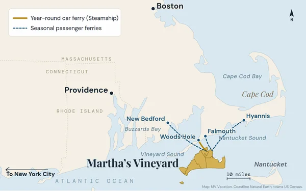
Where Martha's Vineyard is, with our own maps: an island in Dukes County, Massachusetts, under four miles across Vineyard Sound from Woods Hole on Cape Cod, 75 miles from Boston and 70 from Providence by road. How big it is, the six towns, up-island and down-island, every way to get there and where the name comes from.
Martha's Vineyard in December 2026: First Friday on December 4, Light Up Oak Bluffs on December 5, Christmas in Edgartown December 10 to 13, 4:15 sunsets, one ferry into Vineyard Haven, and what stays open through Christmas.
All six town libraries on Martha's Vineyard, checked October 2026: hours and addresses, how visitors get a library card, free Wi-Fi, the concerts, art shows and programs, the Libraries of Things with beach chairs and stargazing kits, museum and beach parking passes, and a short history of each building.
Cell service on Martha's Vineyard town by town: towers down-island, no tower in Chilmark or Aquinnah and the named dead spots, what each carrier reports to the FCC, free Wi-Fi at all six libraries and on the ferry, the $10 xfinitywifi pass, prepaid plans and 911 when you have no bars.
The twelve things that catch first-timers on Martha's Vineyard, from car reservations and the two ferry terminals to resident-only beaches, the last bus from Aquinnah and cash for the Chappy Ferry, each with an easy fix, plus the fall and winter dates.
EV charging on Martha's Vineyard: about 34 public stations, nearly all Level 2, listed town by town with ports and prices (the Edgartown Park and Ride, town halls, libraries, the airport, the Aquinnah cliffs), two fast-charging ports at the VTA, the Chilmark plans, no Supercharger, the ferry's EV rules, and how to run an electric week on a 20-mile island.
Island tip of the dayTimingNo. 62 of 79New tip at midnight, island time
The Gingerbread Cottages are most atmospheric on weekday mornings when it's quiet; you can photograph them with empty lanes. Weekend afternoons feel like a tour group.
Useful?
More on
Subscribe
The free island library · 2026
One short island letter, and all four guides to start
Beach reports, events worth a day, ferry heads-ups. Sent when there is something worth telling. The Beach Guide, The Vineyard in the Fall, Where to Stay and What It Really Costs arrive with your welcome email.
The Beach Guide, The Vineyard in the Fall, Where to Stay and What It Really Costs. No spam, one-click unsubscribe.
We use cookies for trip planning, site stats and ads, including ads based on your browsing. To opt out, turn on Global Privacy Control in your browser. Cookie policy
These cookies are essential for the website to function properly.
These cookies help us understand how visitors interact with the website.
These cookies are used to deliver personalized advertisements.