

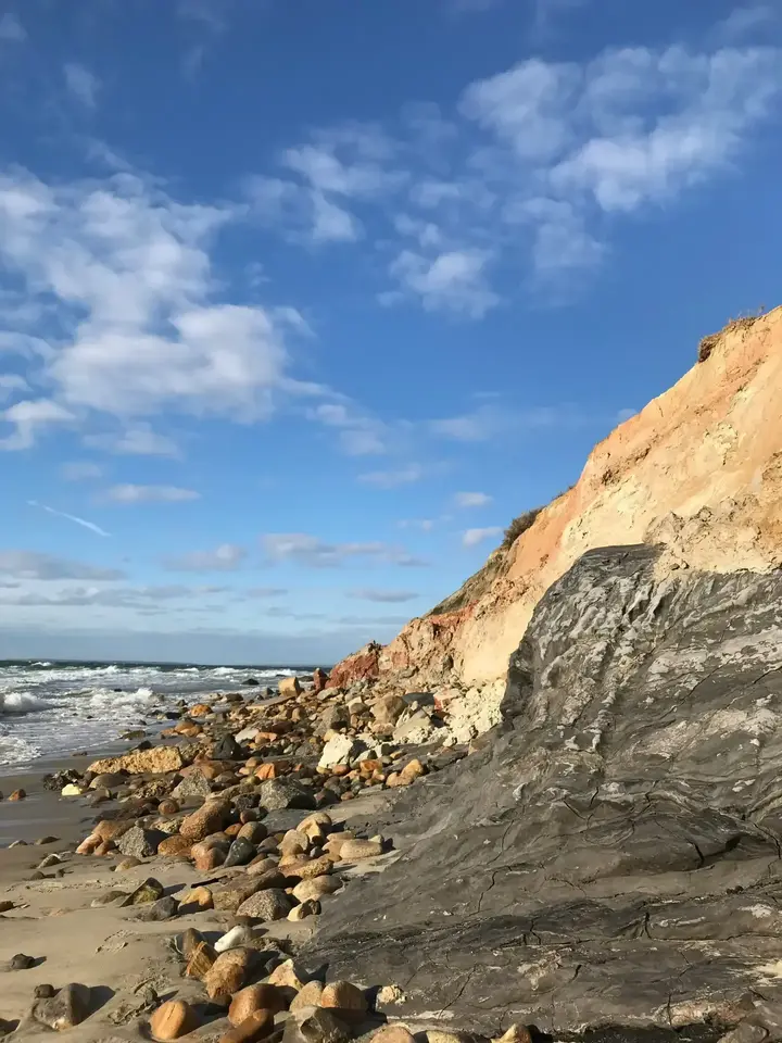
Gray clay at the waterline, rust and ochre above it, and the boulders of Moshup Beach at the foot of the cliff.
Plate 01
Aquinnah is the western tip of Martha's Vineyard, past Chilmark, with open ocean, the clay cliffs and sunsets that turn the shoreline gold. The town was called Gay Head from 1870 until 1998, and it is still one of the least built-up parts of the island.
This guide was written and photographed by MV Vacation, from on-island filming, local records and field research in 2025–2026.
We respectfully acknowledge the Wampanoag Tribe of Gay Head (Aquinnah) as the original stewards of this land.
The cliffs
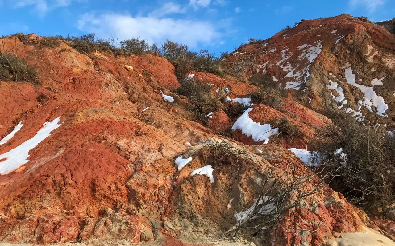
The Aquinnah Cliffs are a National Natural Landmark and a place of deep cultural importance to the Wampanoag Tribe of Gay Head (Aquinnah). Glaciers and the Atlantic surf shaped them, and the clay runs in layers from deep gray and black low down to bright red and orange near the top.
 A
A 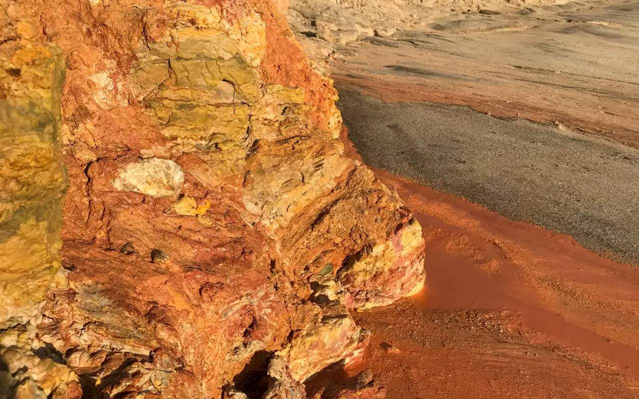 B
B 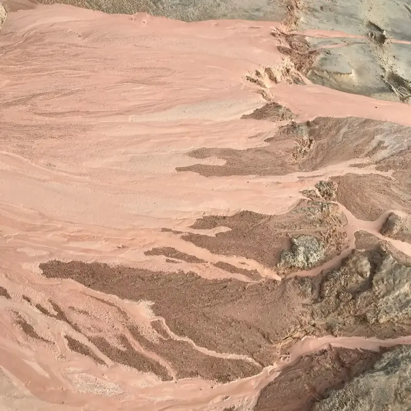 C
C A: red strata under winter snow; B: clay in raking light; C: the wash of color below the scarp.
History
The Wampanoag presence in Aquinnah extends back more than 10,000 years. English colonists arrived in the mid-1600s, and the Wampanoag are still here. They are an Algonquian-speaking people, related by language to many nations across the Northeast. The name "Wampanoag" means "People of the First Light."
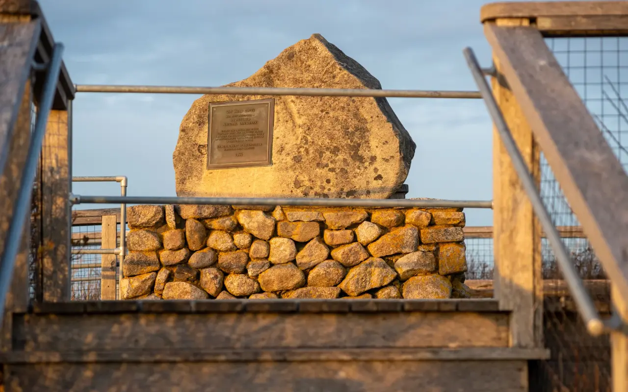
A bronze plaque set into a boulder on the stone wall at the Cliffs overlook, catching the late sun.
If you're exploring the western side of the island, Menemsha Beach is the other sunset spot near Aquinnah.
The cultural center
Aquinnah (meaning "land under the hill") is still home to the Wampanoag community. The Aquinnah Cultural Center has historical exhibits, artifacts and cultural programs.
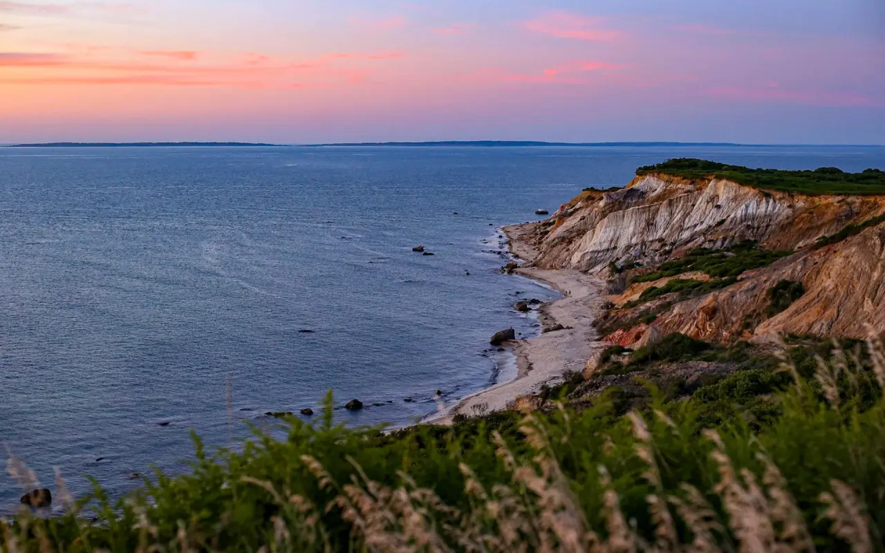
The half hour after sunset, when the clay still holds its color under a pink sky.
Finding Aquinnah
The essentials
The essentials in Aquinnah
03 STOPSNative-owned shops and scenic overlook points.
Both are seasonal, so check hours before you drive up-island. Out of season, it’s easier to eat in Chilmark or West Tisbury, or to bring a picnic.
Seasonal tours, and the view from the top.
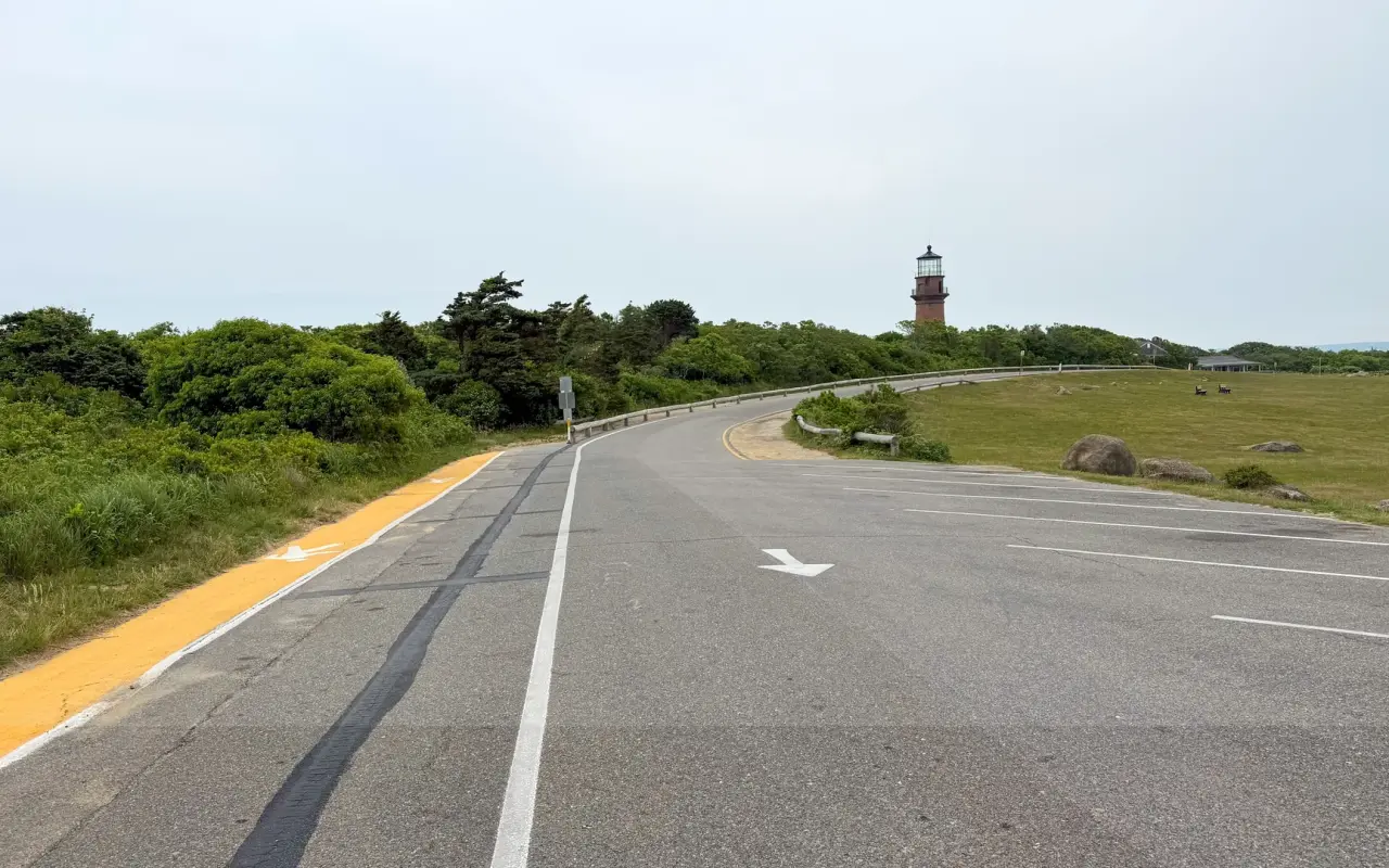
The last bend of the road with Gay Head Light ahead: the end of the island, twenty miles from the ferry.
Our Island Live Webcams show the island in real time.
The beaches
Beaches in Aquinnah
03 BEACHESThe town's public beach beneath the cliffs: paid lot in season, walk-ins free.
Permit or walk-on pass required in summer, Aquinnah owners and renters only; passes sold at the town office Monday, Tuesday, Thursday, Friday and Saturday 9 to noon, card only. Lot full? Permit holders park free at the Municipal Lot.
Calm Sound-side water; the few parking spaces there are for Aquinnah resident permit holders only, so most visitors arrive by bike or on the Menemsha bike ferry.
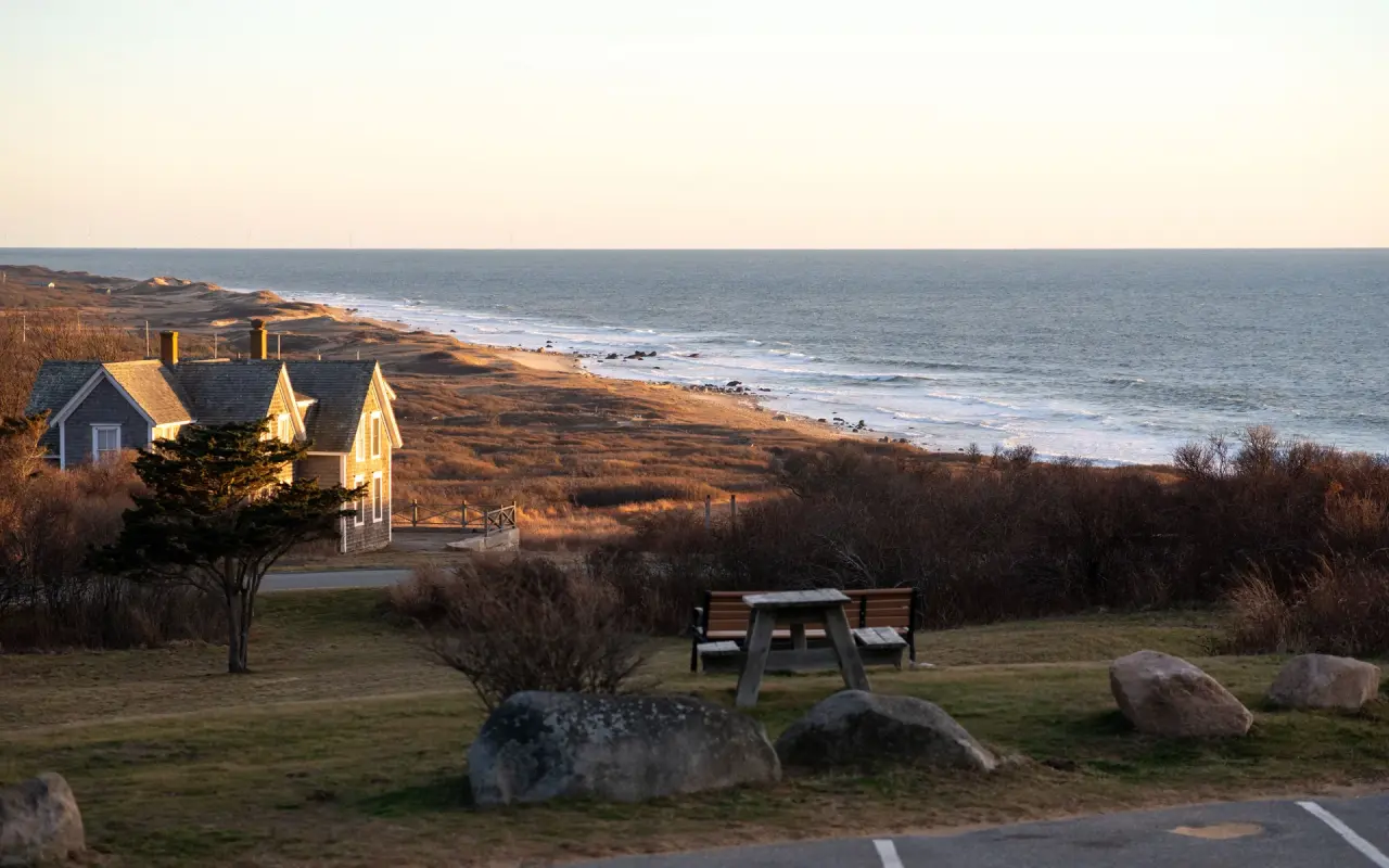
Off-season light over the Aquinnah shoreline, seen from the top of the hill.
Know Before You Go
Know before you go
This is Wampanoag tribal land: climbing the cliffs or taking any clay is prohibited, and the Tribe enforces it.
VTA Route 3 (fare-free through June 30, 2027) from the Vineyard Haven ferry to West Tisbury, then Route 5 to the Gay Head Lighthouse, about 55 minutes all in. On the off-season timetable (October 4 to April 15) it is one bus the whole way, leaving Vineyard Haven at 7:07 AM and every two hours to 5:07 PM, and the last bus back from the cliffs leaves at 6:05 PM. The summer timetable runs later; check the VTA or call 508-693-9440 before you head out. Step-by-step from each town in How to get there by bus.
The Aquinnah Public Library, 1 Church Street, is open Tuesday and Thursday from noon to 6 PM and Saturday from 11 AM to 4 PM, with drop-in crafts, a book group and talks on its calendar at aquinnahlibrary.org. All six town libraries are in our libraries guide.
You can reach Aquinnah by car, by VTA Route 5 with a change at West Tisbury, and by bike via State Road through Chilmark. That same transfer links Aquinnah with Vineyard Haven and Edgartown.
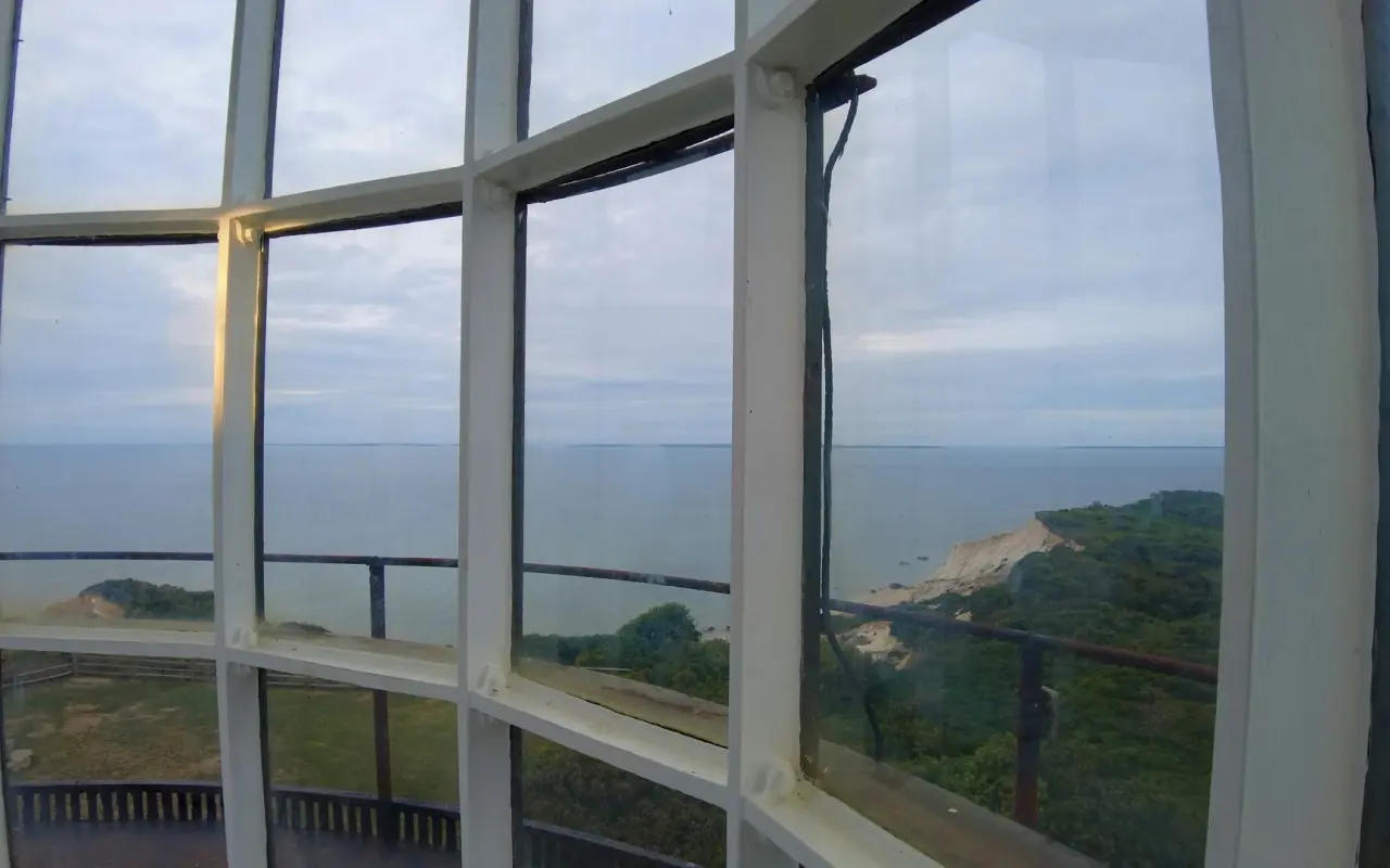
Looking out through the lantern-room glass at the top of Gay Head Light, over the cliffs and the water. The climb is $6, ages 13 and up.
Getting to Aquinnah
For practical tips, see our Martha's Vineyard FAQ.
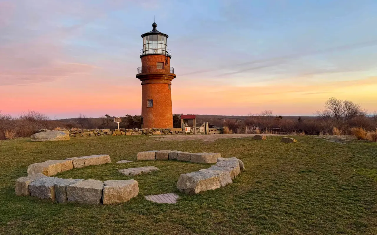
The lighthouse at sunset, moved 129 feet inland in 2015 to outrun the eroding cliff.
Questions
Aquinnah questions, answered
Can I climb the cliffs or take some clay home?
No. The cliffs are a National Natural Landmark on Wampanoag tribal land. Climbing them or removing clay is prohibited and the Tribe enforces it. The overlook at the Circle and Moshup Beach below are the places to see them from.
Which beach can I use in Aquinnah?
Moshup Beach, below the cliffs: the beach is free to walk onto and the town lot charges by the day in season. Philbin Beach is for Aquinnah residents and renters with a permit. Lobsterville, on the calm Sound side, has parking for Aquinnah resident permit holders only, so most visitors arrive by bike or on the Menemsha bike ferry. Details on the Moshup Beach page.
How do I get to Aquinnah by bus?
VTA Route 3 from the Vineyard Haven ferry to West Tisbury, then Route 5 to the Gay Head Lighthouse, about 55 minutes all in and fare-free through June 30, 2027. In summer you change at the Grange Hall stop; from October 4 to April 15 the same bus carries on from Town Hall every two hours, so check the current timetable. Step-by-step in How to get there by bus.
Can I go up Gay Head Light?
In season, on a tour. The brick tower was moved 129 feet inland in 2015 to save it from the eroding edge, and the view from the top runs across the cliffs to the Elizabeth Islands. Tour season and details are on the lighthouses page.
Why was Gay Head renamed Aquinnah?
The town voted to take back its Wampanoag name, meaning "land under the hill", in 1997. The Wampanoag Tribe of Gay Head (Aquinnah) is one of two federally recognized tribes in Massachusetts and still lives here; the Aquinnah Cultural Center at the Circle tells the story.
The Record
Aquinnah, in brief
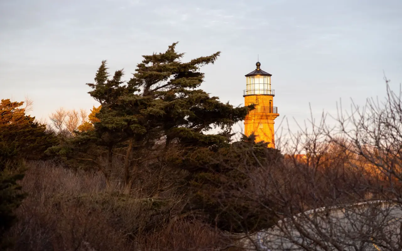
December light on the tower, seen through the wind-shaped trees on the moor.
Aquinnah on film
From Our Lens The cliffs in every light. 35 photographs · View the Aquinnah gallery

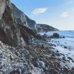
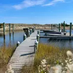
 +31
+31 Keep Reading
Keep reading
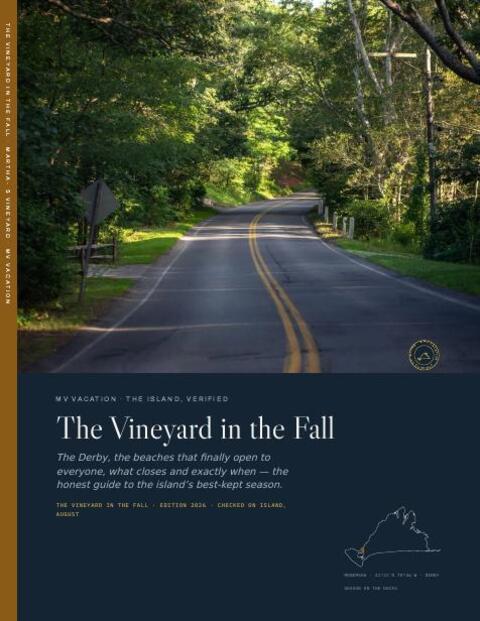
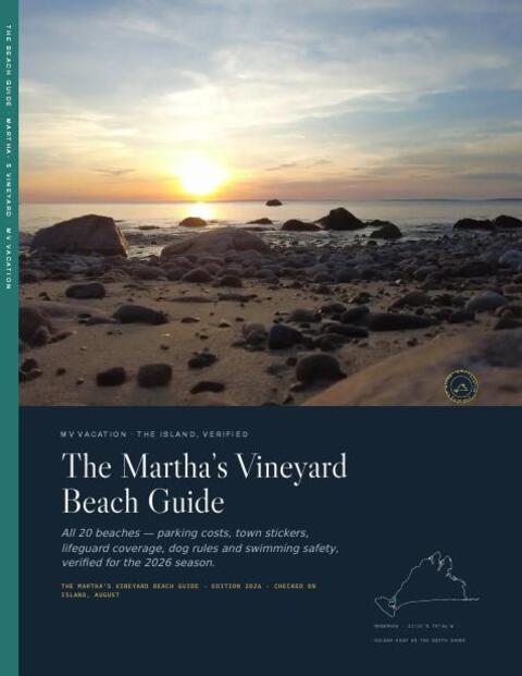

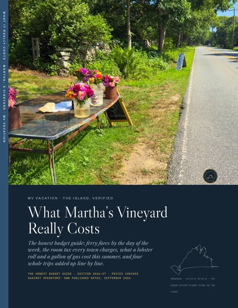 Four free downloads · 2026 The Beach Guide, the Fall Guide, Where to Stay and What It Really Costs Every beach, the fall season date by date, every town and price band for a stay, and the budget guide: four PDFs, free with the island letter. No spam, one click to leave. See a sample first
 More of Aquinnah on film
The cliffs, the lighthouse and the road out to them.
-
 Aquinnah Martha's Vineyard
 -
 Oak Bluffs Summer Day Sunset at Lobsterville Bar and Grille and A Car Ride To Vineyard Haven
 -
 Scenic Winter Drive Through Martha's Vineyard, West Tisbury to Aquinnah Cliffs Ride
 -
 Lobsterville Beach, Martha’s Vineyard, Hidden Gem Near Menemsha
 -
 Wampanoag Sneak Up Dance Aquinnah
 -
 Gay Head Lighthouse at Aquinnah, Martha’s Vineyard