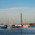
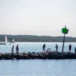
Menemsha Hills Bicycle Ride, Martha's Vineyard
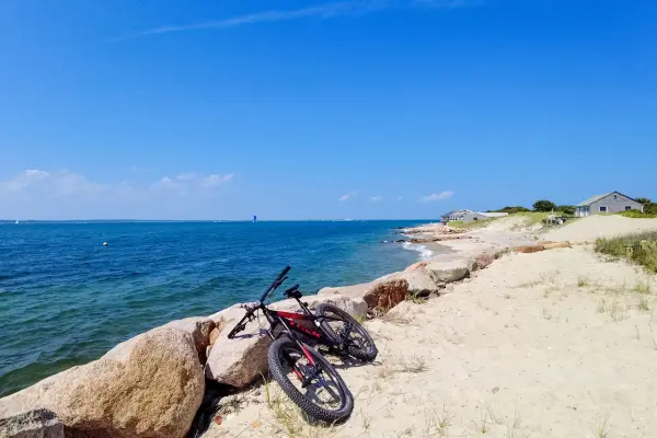
An up-island bike ride near Menemsha Hills in Chilmark on Martha's Vineyard. Bikes aren't allowed on the reservation's trails, so lock up and walk down to the boulder beach.


Popular searches:
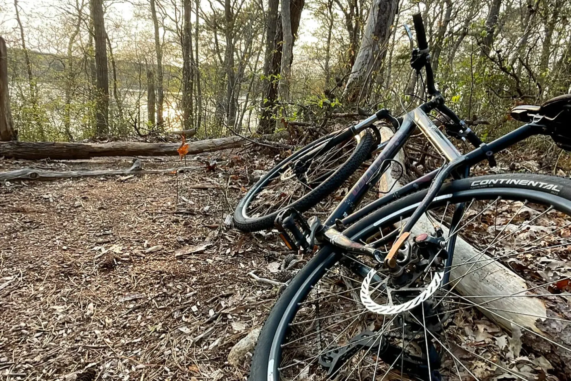
Cycling Martha's Vineyard in 2026: about 38 miles of bike paths, 5 routes from easy family rides to the 60-mile island loop, rental prices, and e-bike rules.
Martha's Vineyard is one of the best places in New England to ride a bike. It has about 38 miles of dedicated, paved shared-use paths (the Martha's Vineyard Commission's count) connecting the three down-island towns and running through the state forest in the middle of the island. The eastern "down-island" half is flat, with separated bike paths that work well for families. The western "up-island" half rolls through farm country on narrow, scenic roads shared with cars, with no bike lanes or paths at all.
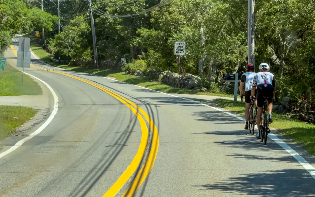
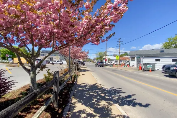
Up-island there is no bike lane, just a shared road posted at 25 mph on this stretch, so riders keep to single file near the edge.
Filmed August 2024The island moves on: shops, signs and prices may differ from what you see here. The text of this guide was checked October 2026.
The island is roughly 20 miles long by 9 miles wide, and a bike is the best way to see it. Down-island, the path network lets you ride from beach to gingerbread cottage to harbor without sharing the road with a single car. Up-island has hills, and e-bikes have put them within reach of riders who would never have tried, so almost anyone willing to pedal can ride the whole island.
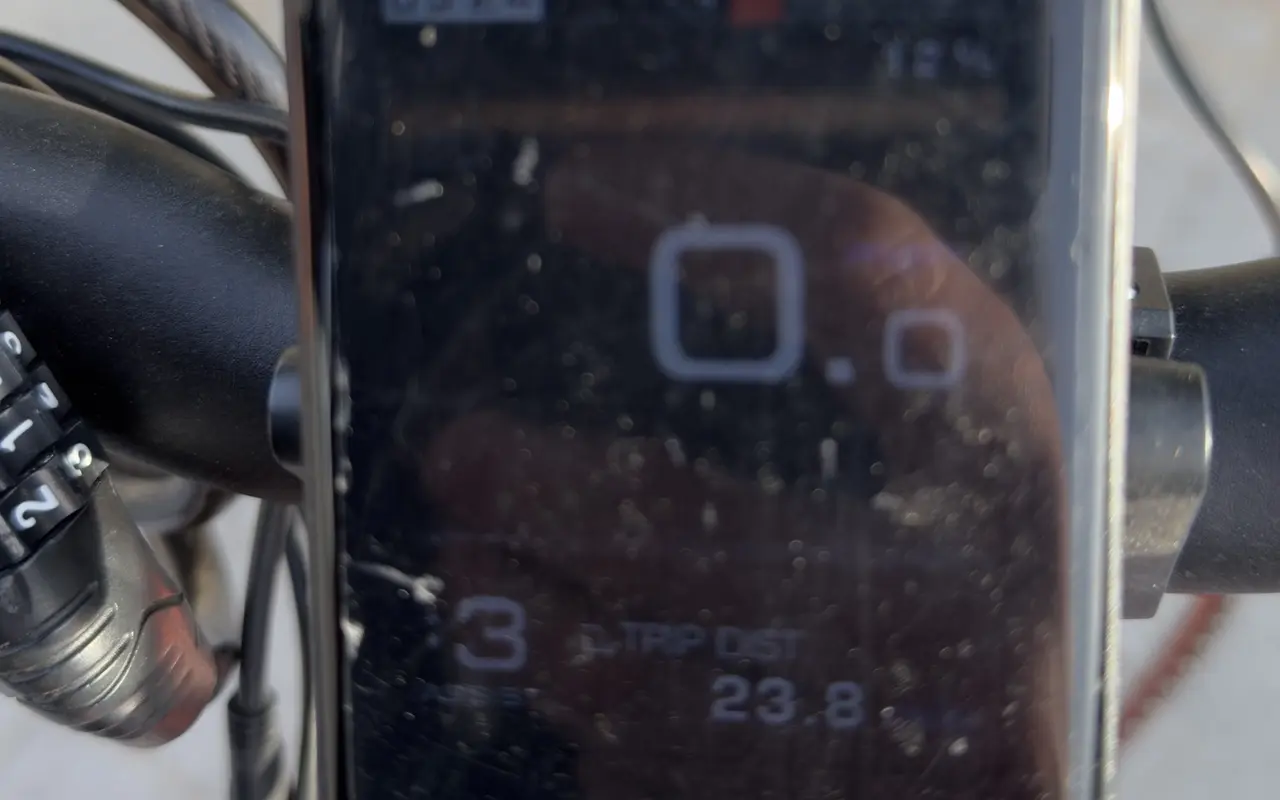
The display on our e-bike at the end of one day of riding: 23.8 miles on the trip counter, with 12 percent of the battery left.
We rode the down-island route ourselves on a rented e-bike in October 2026. Here is the whole ride from Vineyard Haven to Edgartown, filmed from the handlebars in 4K.
Filmed October 2026
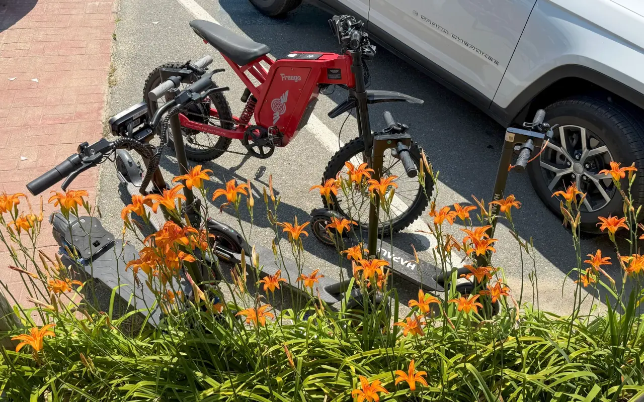
A red e-bike and two electric scooters in a rack behind a bed of orange daylilies in Vineyard Haven.
Table of contents [Show]
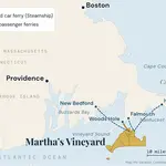
The island's paved, separated bike paths sit mostly in the eastern half, where they link Edgartown, Oak Bluffs, and Vineyard Haven.
This is the island's best-known ride, and probably its prettiest. The paved path runs about 6 miles along Beach Road beside Joseph Sylvia State Beach, on a narrow barrier beach with Nantucket Sound on one side and the calm water of Sengekontacket Pond on the other. It is completely flat. About halfway you cross the American Legion Memorial Bridge, better known as "Jaws Bridge" from the 1975 film. Guardrails separate the path from traffic for most of the way.
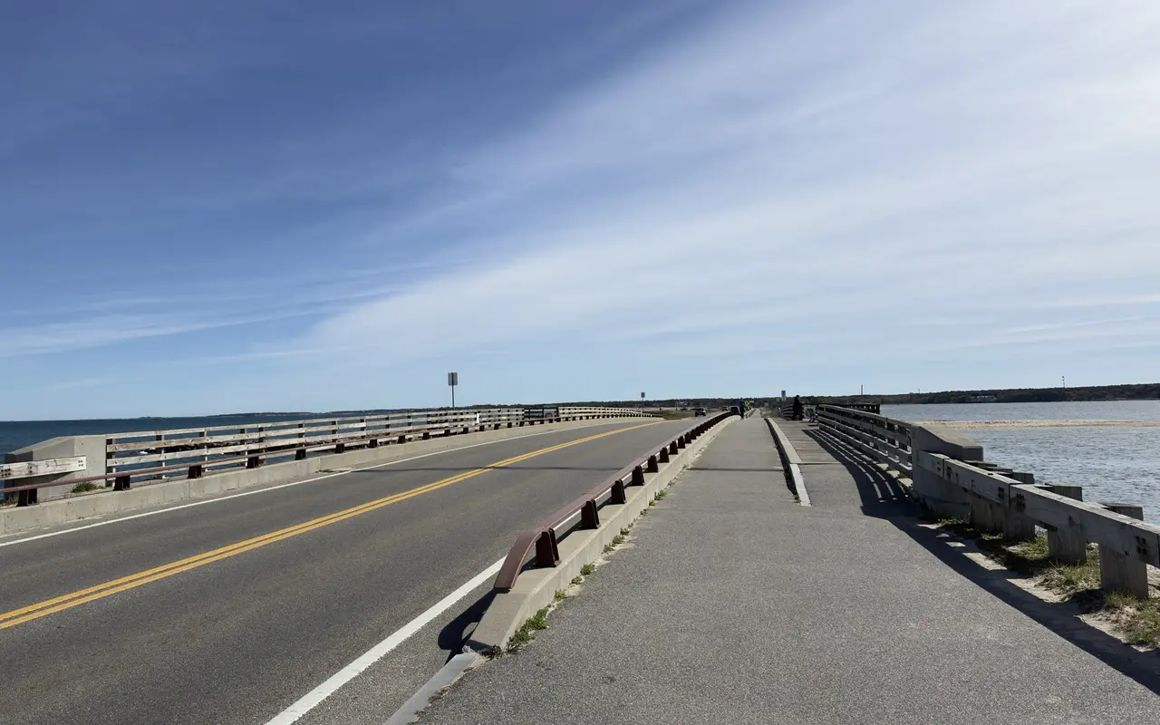
The bike path crosses the Jaws bridge on its own lane, Nantucket Sound on the left and Sengekontacket Pond on the right.
This path runs about 7 miles through the middle of the island, alongside the Edgartown–Vineyard Haven Road. It is less scenic than Beach Road (you ride next to a road through scrub oak and pine), but it is the link between the two towns, with some moderate hills. About 3 miles out of Vineyard Haven you reach the Barnes Road traffic circle, where the paved path into the Correllus State Forest loops begins.
This is the network's weak spot. There is still no continuous separated path between these two towns, and the roughly 3-mile ride is busy with traffic in summer. On the Vineyard Haven end, Beach Road now has painted bike lanes from Five Corners leading to a shared-use path about half a mile east. Five Corners itself and the short climb up Beach Street and State Road to the Edgartown–Vineyard Haven Road path are still on the road, and MassDOT's 2025 Beach Road study names that stretch as one of the last gaps in the island network. On the Oak Bluffs side, the East Chop Drive detour adds about a mile and swaps the traffic for water views.
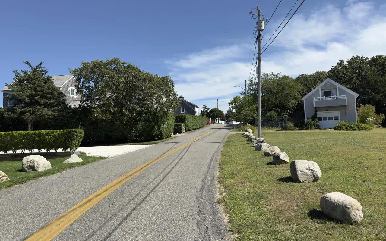
The East Chop detour trades Beach Road traffic for quiet residential roads like this one, with boulders along the verge and shingled houses behind tall hedges.
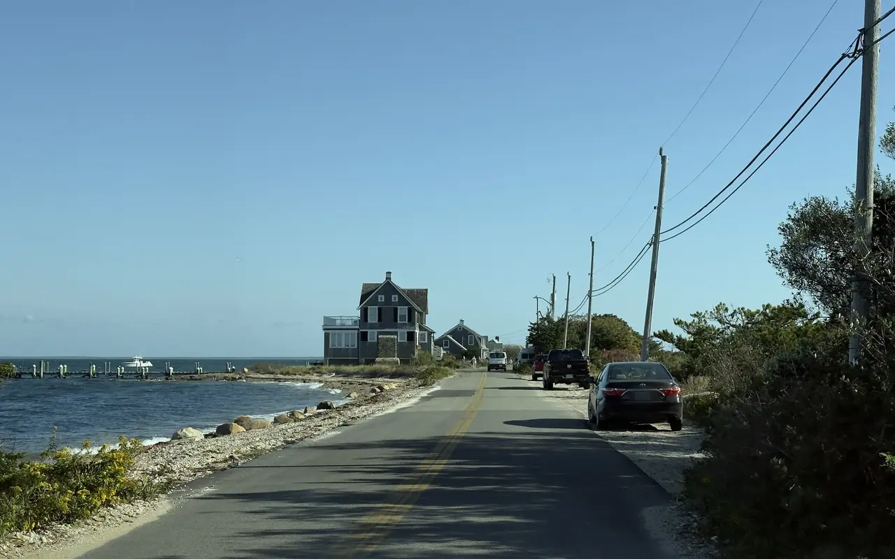
On the East Chop side the road runs right along the shore in places, past a shingled house and a long dock.
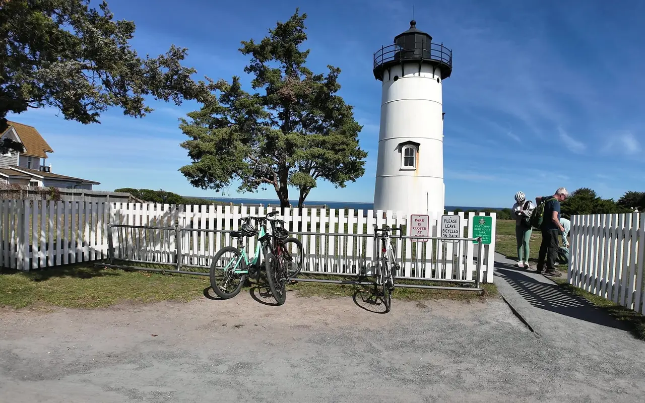
At the top of the East Chop loop the lighthouse park has a bike rack at the gate; bikes stay outside the fence.
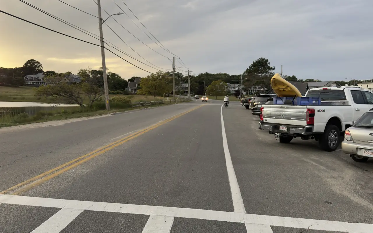
This road along a pond in Oak Bluffs has a marked bike lane, which makes the on-road stretch easier. In the evening you share it with people heading home, a kayak riding in a pickup bed.
Filmed July 2025
A straight 3-mile ride south from Edgartown center along Katama Road to South Beach, the island's main surf beach. It is flat, paved and easy to follow, and it's the island's best family ride. For a longer loop, come back on Herring Creek Road and Atlantic Drive, a roughly 8-mile triangle through farm fields.
The state forest fills the middle of the island, with paved bike paths plus unpaved fire roads and singletrack. The main paved loop runs about 10 miles through shaded pitch pine and scrub oak barrens, a globally rare habitat. In all there are 14 miles of wooded and paved paths. There are no cars and plenty of shade, and mostly you hear birds and your own tires. Some stretches of pavement are badly cracked, so keep an eye on the surface. The Barnes Road paved path, running south from the Edgartown–Vineyard Haven Road, is the main way in.
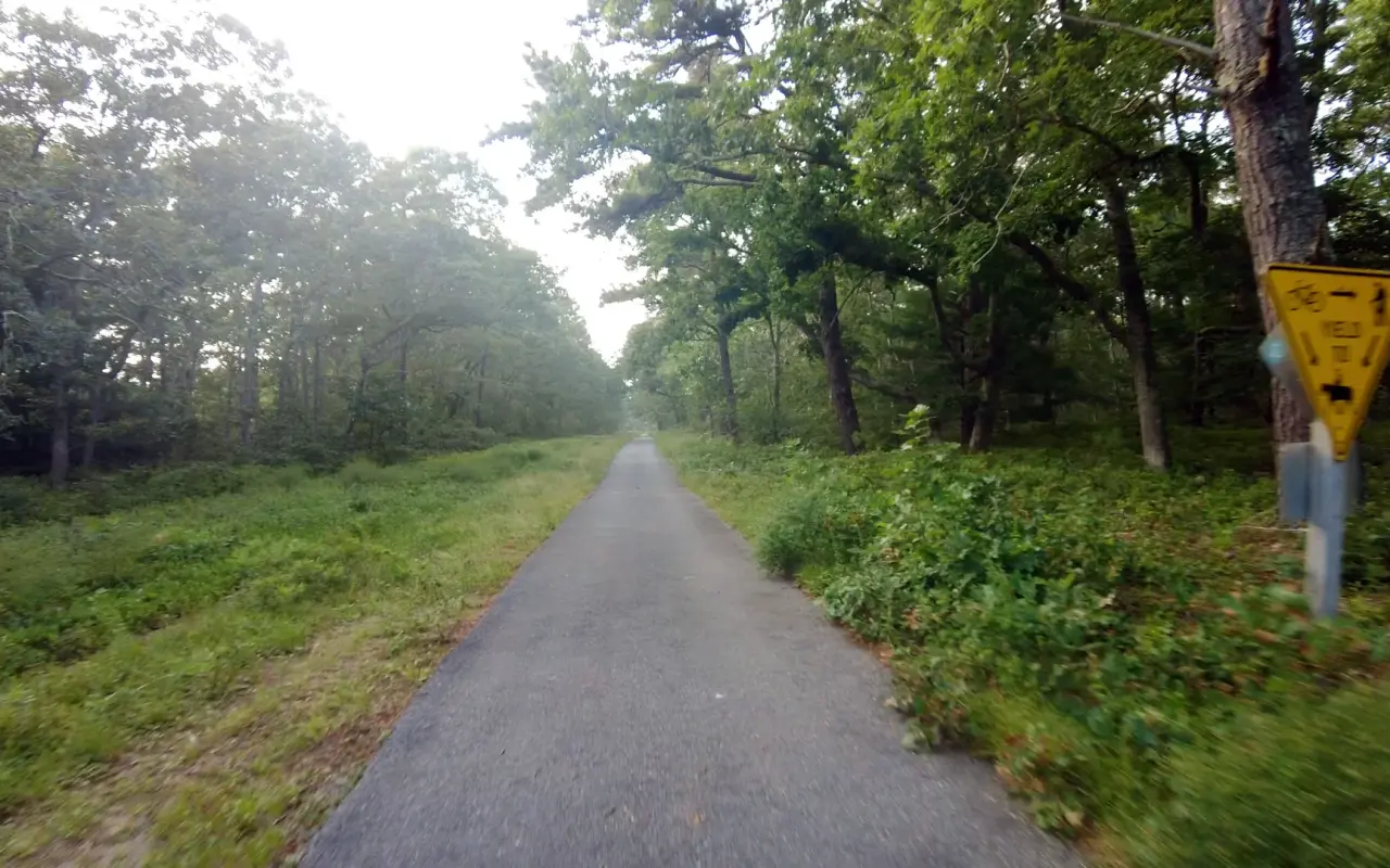
A paved bike path through green woods on a hazy day, seen from the saddle.
Add the shorter connectors (Herring Creek Road, Barnes Road and the path along Edgartown–West Tisbury Road) and the Martha's Vineyard Commission puts the whole shared-use path network at about 38 miles. Its own planning page is open about the weak spots: a few gaps still push riders onto the road, often in the busiest places. The state forest paths are open sunrise to sunset.
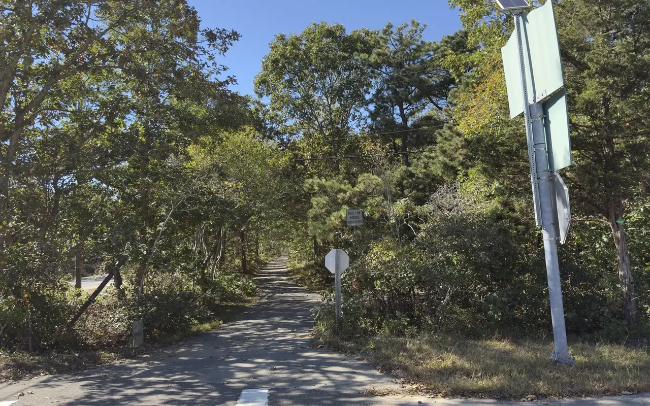
The bike path where it crosses the turn for the airport, looking toward the airport and West Tisbury. There is a stop sign at the crossing, and the small sign behind it reads State Law, Mopeds Prohibited.

A paved bike path curving through pitch pines, seen over the handlebars.
West of the state forest, the flat coastal towns give way to rolling glacial hills, farmland and fishing villages. There is zero protected cycling infrastructure up-island: no bike lanes, no paths, and in most places no shoulder. You ride on narrow, winding roads shared with cars, and it is still the best riding on the island.
Filmed June 2023The island moves on: shops, signs and prices may differ from what you see here. The text of this guide was checked October 2026.
Three parallel roads run the length of up-island:
From Vineyard Haven to Aquinnah is about 20 miles one-way. From West Tisbury to Aquinnah via South Road and State Road, it's about 12 miles. The island's highest point is Peaked Hill in Chilmark at 311 feet. That is modest by mainland standards, but the constant ups and downs add up.
Good stops along the way: Alley's General Store in West Tisbury, the Chilmark General Store (its front porch is the classic up-island rest stop), the Quitsa Pond Lookout (the view over Menemsha and Nashaquitsa ponds), the Aquinnah Spring just past the town line (ice-cold water from a roadside pipe, handy for refilling bottles), and the Gay Head Cliffs observation deck and lighthouse at the end of the road.
Before you book a bed
Where to Stay on Martha’s Vineyard, free
Every town and price band, with the booking rules nobody publishes. Free with the island letter, together with our Beach, Fall and What It Really Costs guides.
One-click unsubscribe, and we never share your email.

A pine-needle trail through the woods in Edgartown, edged with logs.
This roughly 16-mile loop links Edgartown, Oak Bluffs and Vineyard Haven. Two of the three legs follow bike paths; the Oak Bluffs–Vineyard Haven leg is on the road. It is mostly flat and takes 2–3 hours at a casual pace. Along the way you pass State Beach, Jaws Bridge, the Oak Bluffs Gingerbread Cottages, the Flying Horses Carousel and the Black Dog Tavern in Vineyard Haven.
The island's easiest ride, and a good one for families. Pedal 3 flat miles south from Edgartown center to South Beach, swim in the Atlantic surf, then come back on Herring Creek Road through farm fields. The whole route is on bike paths or very quiet roads.
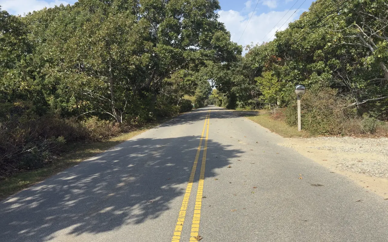
Edgartown Bay Road in Katama, with oaks leaning over both sides and not a car in sight.
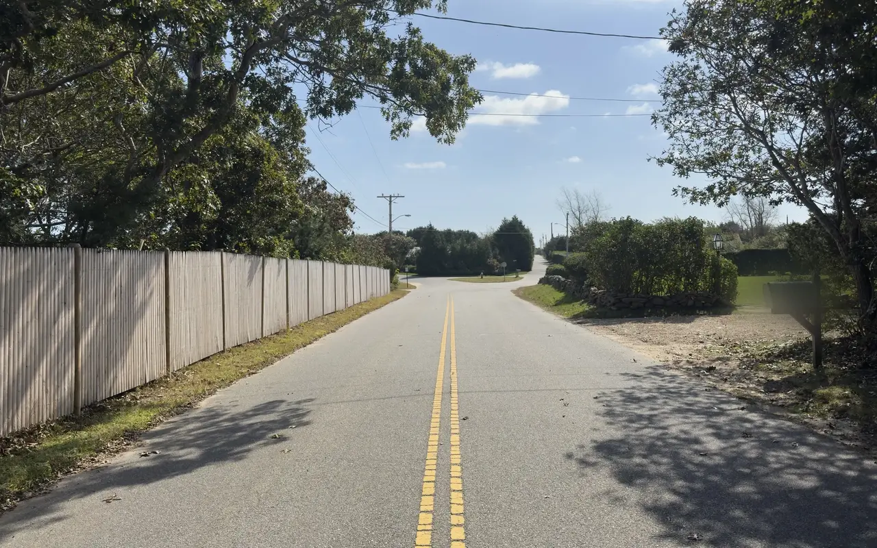
The same road looking the other way, with a long stockade fence on one side and a small grassy island at the junction ahead.
Paved paths through the middle of Manuel F. Correllus State Forest. The main 10-mile loop is flat, shaded and car-free, good for riders who want distance without traffic. The forest also has unpaved fire roads and singletrack for mountain biking. The island's mountain bike club is Vineyard NEMBA, the local chapter of the New England Mountain Bike Association; it works on island trails and runs group rides, and its chapter page posts the details.
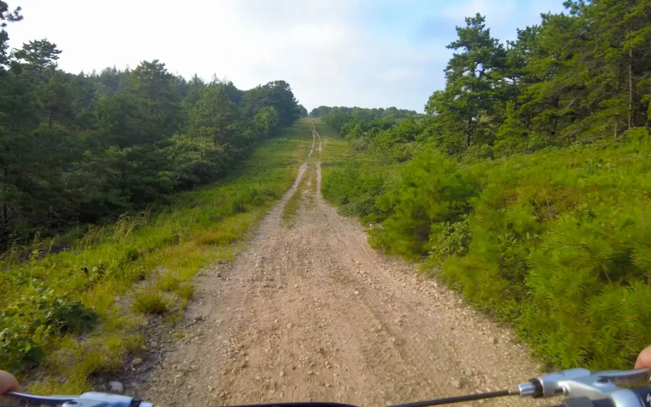
A sandy fire road through pine and scrub oak, seen over the handlebars. Unpaved lanes like this are mountain bike country, and the kind of natural-surface trail where state rules keep e-bikes out.
From Vineyard Haven, follow State Road to West Tisbury, then take South Road through Chilmark (the best 5 miles on the island), continue on State Road to the Aquinnah town line, and finish on Moshup Trail with its long descent to the Gay Head Cliffs. One way is roughly 20 miles; a round trip with a different road home is about 40 miles. If you want the whole island, a full perimeter loop runs 60–68 miles. It is a hard ride, with real hills, narrow roads with traffic and long stretches without shade.
If your legs give out, there are two ways home. A Vineyard Transit Authority (VTA) bus usually has a front rack for two or three bikes, first come, first served (if the rack is full, your bike waits for the next bus), and the buses are fare-free through June 30, 2027 under the state's prepaid fare program. On the fall and winter timetable (October 4 to April 15) Route 5 leaves the Gay Head Lighthouse at 8:05 and 10:05 AM, 12:05, 2:05, 4:05 and 6:05 PM for West Tisbury, where Route 3 continues to Vineyard Haven on the same bus. The Menemsha Bike Ferry, a small pontoon boat run by the Taylor family, crosses Menemsha Channel between Chilmark and Aquinnah for about $5 per crossing and saves roughly 7 miles of hilly riding around Menemsha Pond. It runs daily in summer and on a reduced schedule, if at all, after Labor Day, so its Facebook page is worth a look before you count on it in the fall.
Take the tiny Chappy Ferry from Edgartown harbor (bike and rider $8 round trip; the winter schedule runs October 18 to May 26) and ride to Mytoi Japanese Garden (a little under 3 miles from the ferry landing), Three Ponds Reservation, or farther out toward Cape Poge. The roads are rough, so a hybrid or mountain bike is the better choice. Expect roughly 10–12 miles of riding on Chappy.
R.W. Cutler advertises free island-wide delivery to hotels, vacation rentals and ferry terminals, and Rent Bikes MV and Martha's Bike deliver anywhere on the island too; ask about any fee when you book, since not every shop delivers.
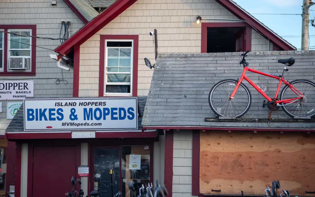
Island Hoppers with the fleet out front and a spare bike on the roof, next door to Big Dipper.
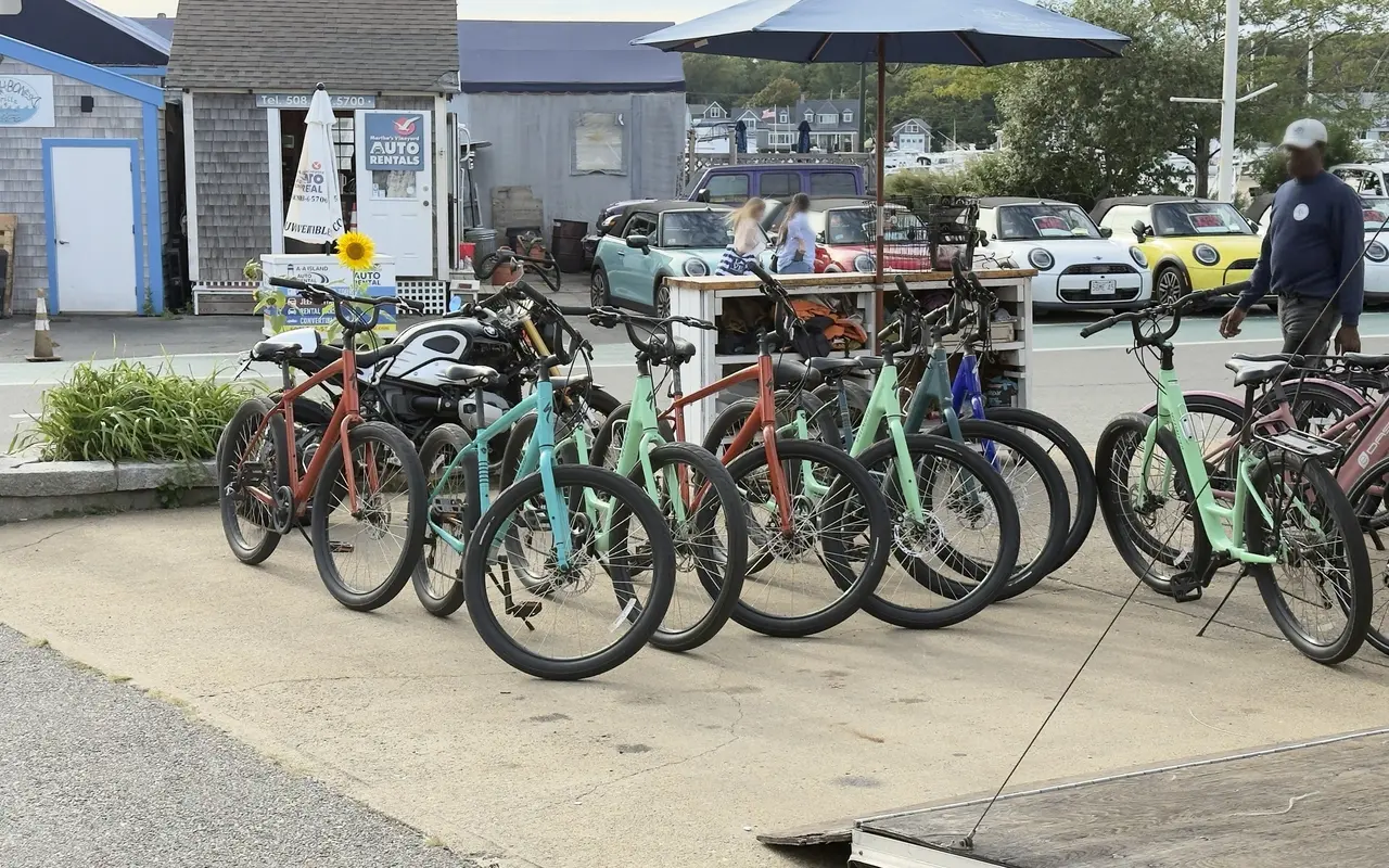
The rental row by the harbor: bikes lined up on the pavement ready to go, the Mini convertibles from the car counter parked behind them. You can walk here from the ferry with your bags.
Note: Anderson's Bike Rentals, which rented bikes in Oak Bluffs for 52 years, has permanently closed.
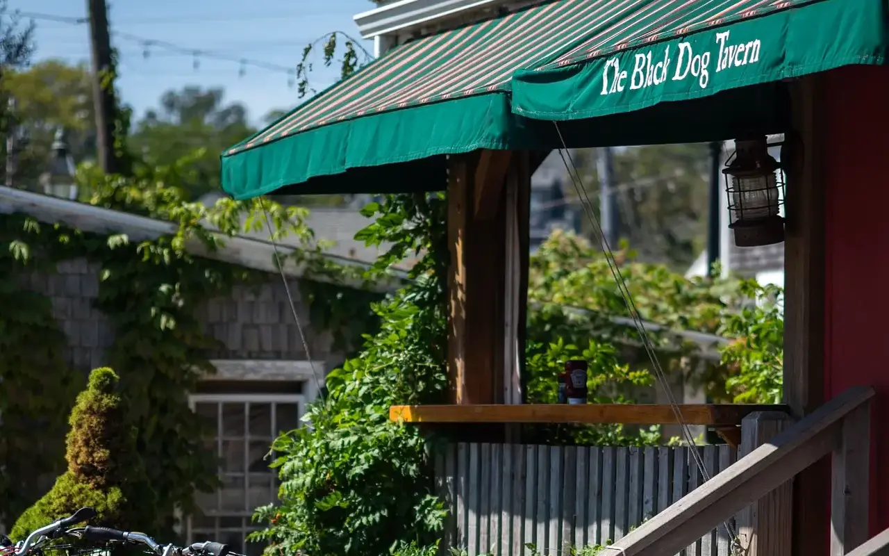
The green awning of the Black Dog Tavern in Vineyard Haven, with a parked bike just in the corner of the frame.
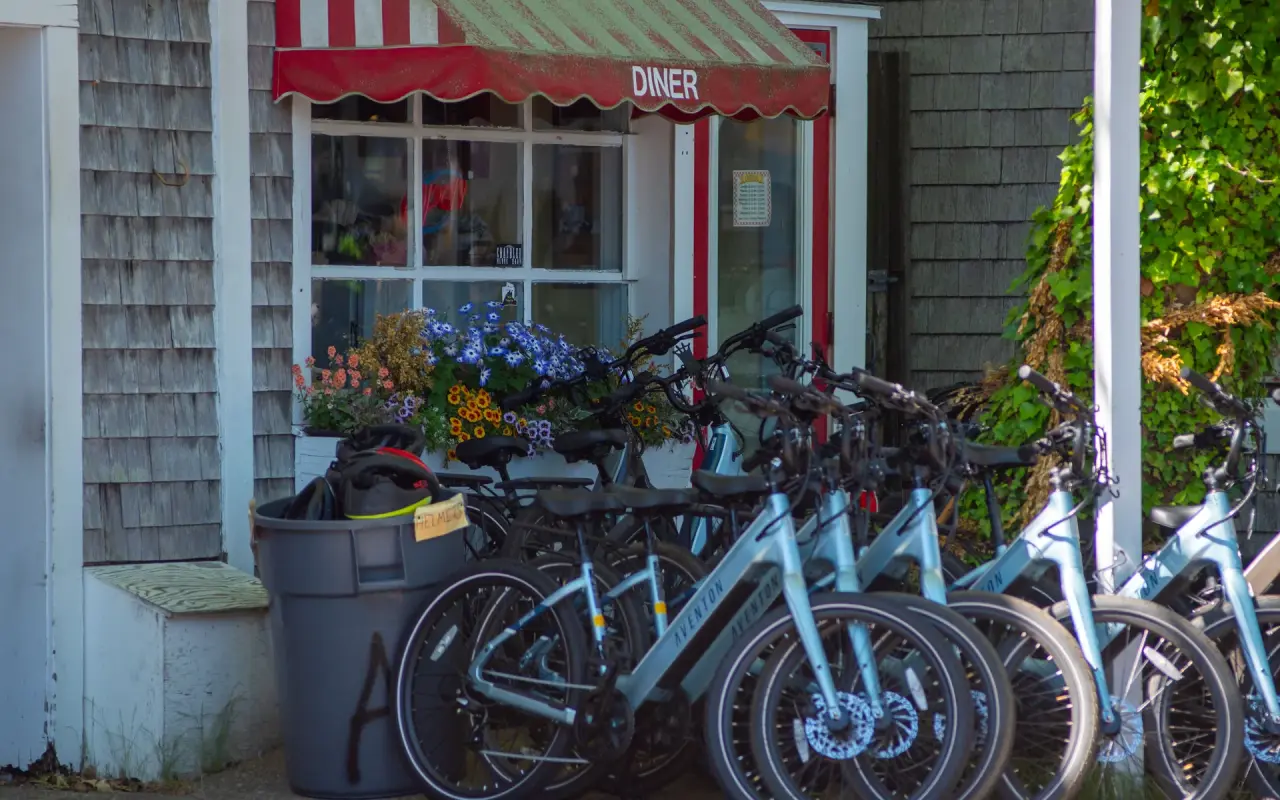
A rental fleet lined up outside an Edgartown diner, the e-bikes in front. In July the racks tend to empty by mid-morning, so reserving ahead helps.
Helmets come with every rental (state law requires rental shops to offer one), and most shops add a lock and a paper map of the paths. In July and August it's worth reserving ahead, especially for e-bikes. From November on, fewer counters are open: Wheel Happy runs April to December, and R.W. Cutler takes reservations year-round and opens its shop around April 1, so a call ahead pays off. R.W. Cutler's shop lists daily hours from April 1 to November 1.


A paved bike path through the pines in low sun, seen over the handlebars.
E-bikes have put routes that once took serious fitness, especially the 20-mile ride to Aquinnah, within reach of casual riders, older visitors and families. Daily rentals usually run $70 to $110.
We rented one ourselves in Vineyard Haven on a Saturday in October 2026: $85 for the day. It took us the roughly 20 miles to Edgartown and back without trouble.
The whole ride is in the video near the top of this guide.
It is worth taking a minute to read the rental agreement before you ride off. The one we signed in October 2026 is typical of the island shops: a helmet must be worn at all times, the bike may not be ridden after dark or by anyone else, you are responsible for damage up to the bike's full retail value unless you buy the optional damage waiver (about $20 on ours), there are fees for late returns and for roadside pickups, and there are no refunds. Most shops also take a credit card or a deposit to cover the bike.
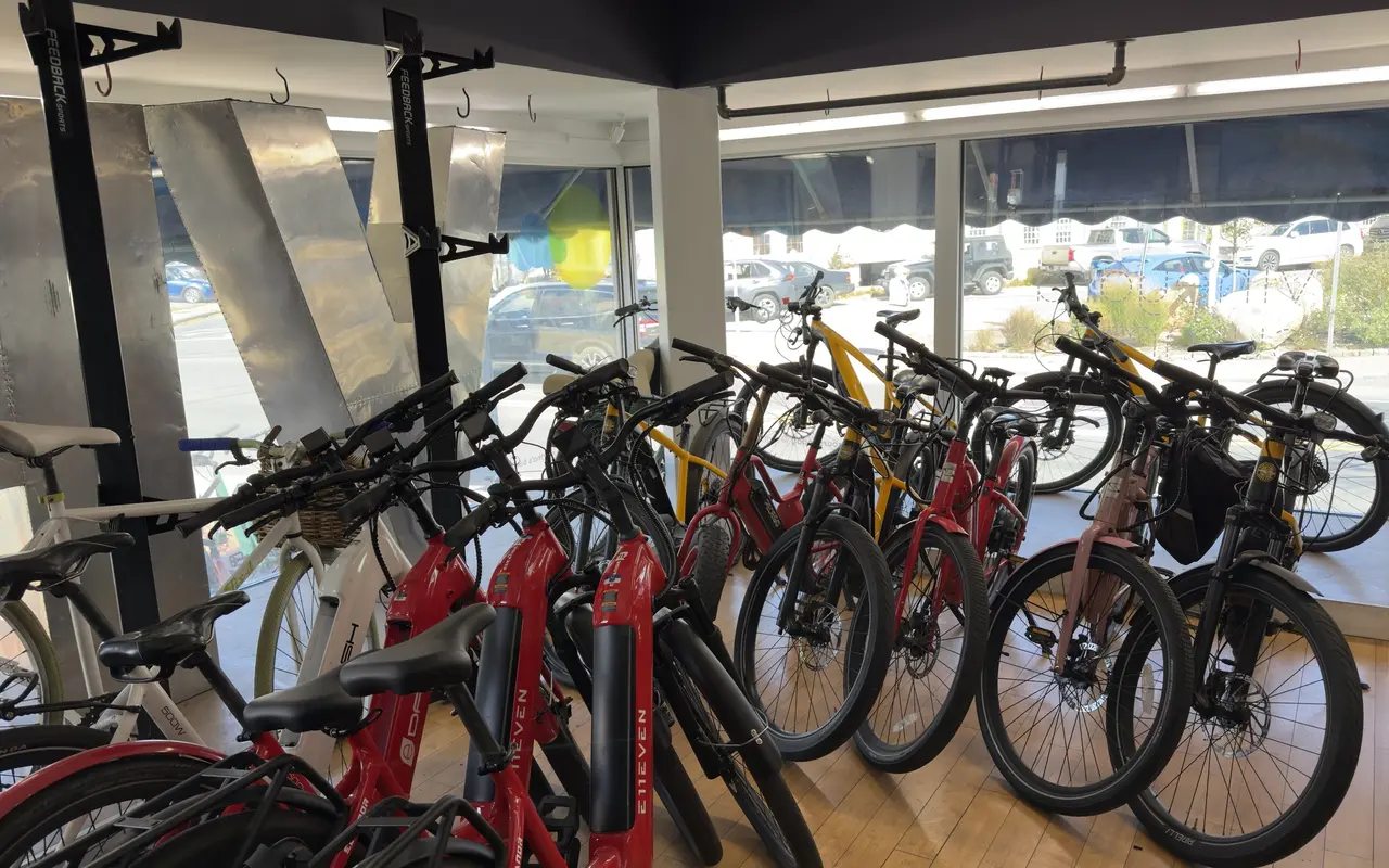
A row of rental e-bikes in a Vineyard Haven shop window in October, ready for the day.
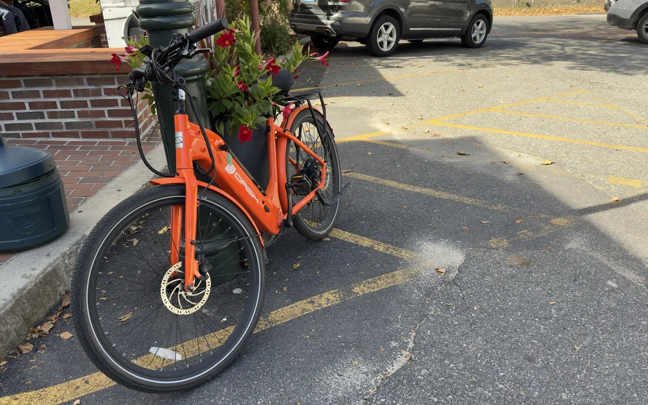
Our rented e-bike parked by a planter of mandevilla on a stop during the ride, October 2026.
Massachusetts law recognizes two classes of e-bike, both with working pedals and a motor of 750 watts or less: Class 1 (pedal-assist only, the motor stops helping at 20 mph) and Class 2 (adds a throttle, same 20 mph cutoff). Both are treated as bicycles, so there is no license or registration, and the bicycle rules apply, plus one extra rule: e-bikes stay off sidewalks. On town and roadside bike paths both classes are allowed unless the path's owner restricts them after a public hearing; we have not found an island town that has done so as of October 2026.
Two places work differently. On public natural-surface trails (dirt singletrack, sandy fire lanes), state law keeps e-bikes off unless the town or agency in charge allows them after a public hearing. And the Manuel F. Correllus State Forest is state park land, where the Department of Conservation and Recreation's own rules apply: Class 1 e-bikes may use improved DCR trails at least eight feet wide, while Class 2 (throttle) e-bikes are limited to places open to cars and bike lanes on DCR roads, so they do not belong on the forest's paved loops. Rental shops can tell you which class you are riding; R.W. Cutler's rental e-bike, for example, is a Class 1.
E-assist helps most on the up-island roads to Aquinnah, where the Chilmark hills stop being a problem, and on the full island loop, where 60+ miles becomes realistic. Even the Edgartown–Vineyard Haven path gets easier, since the moderate hills flatten out. The Vineyard Sound headwind matters a lot less with a motor.
Bringing your own bike on the ferry is easy and cheap:
| Ferry | Route | Bike fee (each way) |
|---|---|---|
| Steamship Authority | Woods Hole to MV | $5.25 |
| Island Queen | Falmouth to Oak Bluffs | $4.00 |
| Hy-Line Cruises | Hyannis to Oak Bluffs | $8.50 |
| Seastreak | New Bedford to MV | $9.00 |
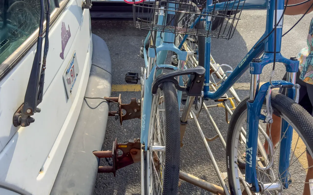
The rack on the nose of a VTA bus, loaded with two; VTA policy allows up to three, first come first served, and the ride is free through June 2027. When the wind turns or the legs give out on the Aquinnah run, this is the way home.
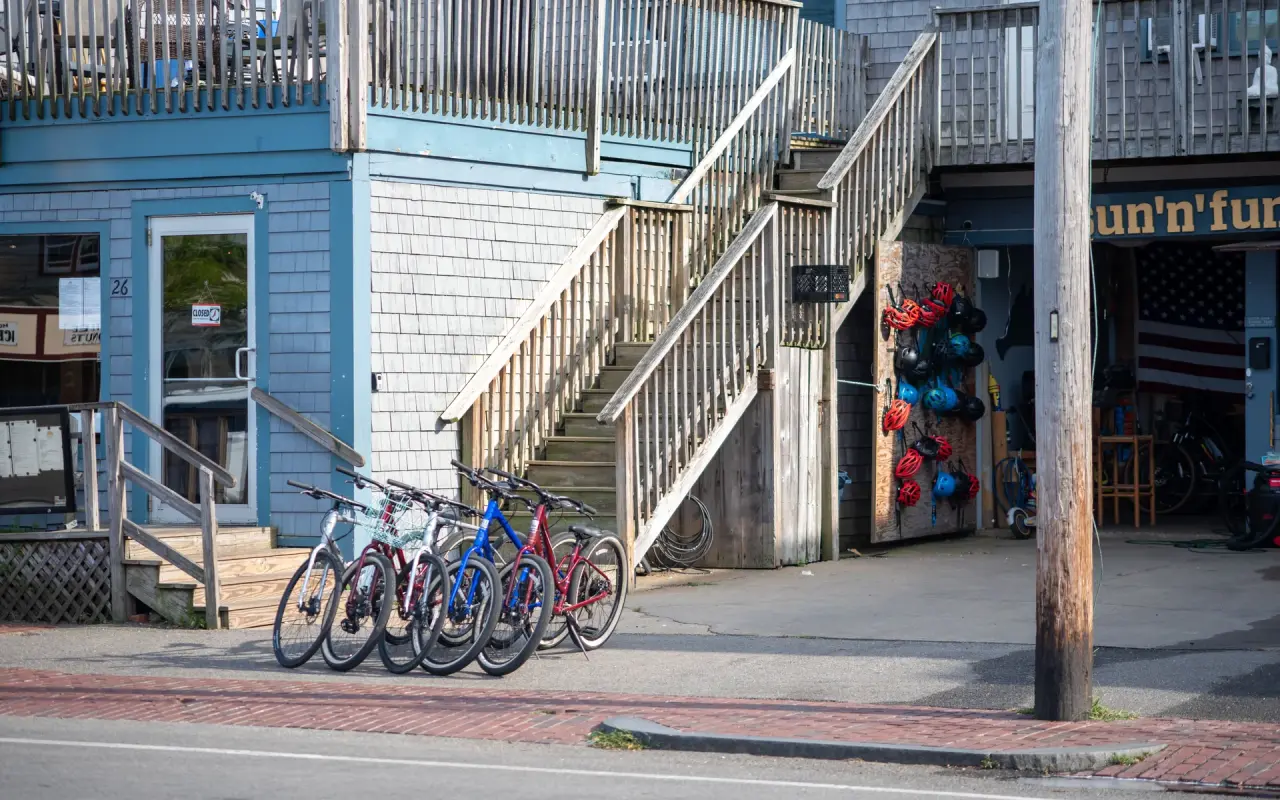
Or skip the ferry fee: rental bikes lined up outside a shop in Oak Bluffs, ready by the hour or the week, a short walk from the ferry landing.
On the Steamship Authority a bike needs no reservation. It travels space-available, you buy its ticket at the terminal, and arriving 30 minutes before sailing is a safe habit. On the Island Queen and Seastreak, add the bike when you book. E-bikes are more complicated. Seastreak charges $18 each way for them, Hy-Line carries Class 1 and Class 2 e-bikes with working pedals at the regular bike fare, and the Steamship Authority's parking-lot shuttle racks cannot take e-bikes. The Steamship Authority also floated new e-bike rules in August 2026 (commercially made bikes only, and crews could refuse any device) but did not vote on them at its August or September board meetings, so it's worth checking your line's current policy before you sail. The Island Queen and Seastreak ended their regular 2026 seasons on October 12, and Hy-Line's Vineyard boat is a May-through-October service, so in late fall and winter the Steamship Authority is how you bring a bike over, apart from Seastreak's Thanksgiving sailings from New Bedford to Vineyard Haven (November 25 to 29).
Massachusetts requires helmets for all riders age 16 and younger on public roads and bike paths. A 2025 road safety study for the Martha's Vineyard Commission found the island's rate of fatal crashes above the state average (4.9 per 100,000 residents against 3.8, for 2018 to 2022), and Five Corners in Vineyard Haven had the most severe crashes of any island intersection.
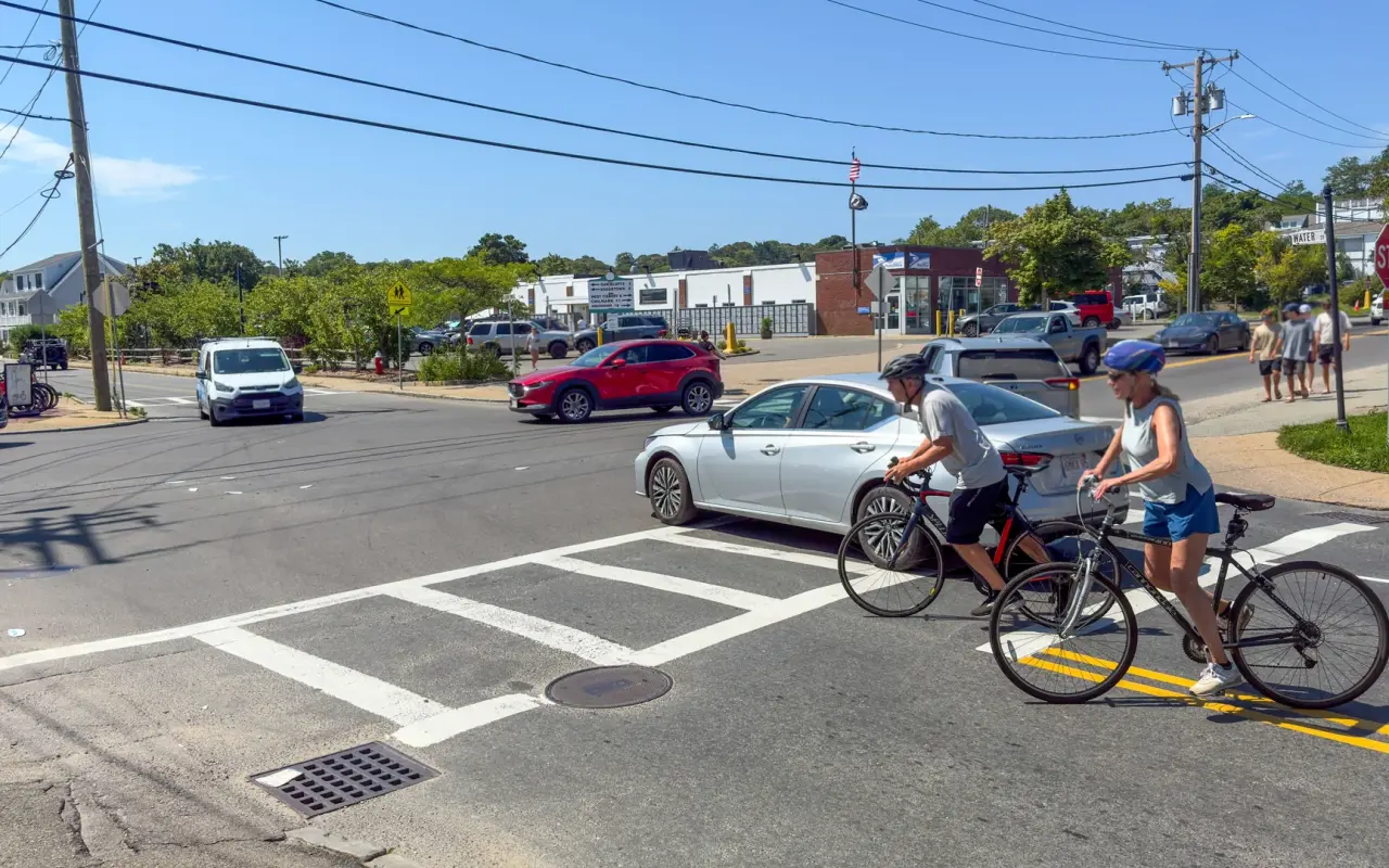
Five Corners on a bright summer day: two riders in helmets roll off the crosswalk while a sedan waits beside them. This is where the path network has its biggest gap, so riders and drivers share the same few lanes.
Since 2023, under a law signed on January 2 of that year, Massachusetts drivers must leave at least four feet when passing a cyclist, a pedestrian or anyone else on the road who is not in a car, and wait or use the other lane if the road is too narrow for it. The island towns have put up the yellow-and-white Motorists Give 4 Ft to Pass signs on the busy stretches, including the streets around the Vineyard Haven ferry. That's the law, but it's still wise to ride as if the driver behind you hasn't read the sign.
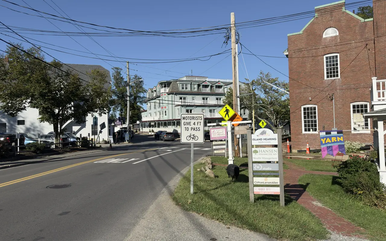
The Give 4 Ft to Pass sign on State Road in Vineyard Haven, looking toward the Mansion House on Main Street, a block from the ferry. The brick building on the right is Educomp, with Brickman’s across the street. The four-foot rule has been Massachusetts law since April 2023; the signs went up on the island roads where cyclists and ferry traffic share the pavement.
The roads that need the most care:
For families with kids, the down-island paths are the place to ride. The flat Katama Road path, the Beach Road path to Oak Bluffs and the small State Forest loop all suit kids who can ride 3–5 miles. Several shops rent child-size bikes, Burley trailers, baby seats and tag-alongs. The up-island roads are no place for kids on bikes, so if the family wants to see Menemsha or the Aquinnah Cliffs, the VTA bus is the easier way there.
Most rental counters hand you a paper map of the bike paths with the bike. For everything beyond the pavement, the free TrailsMV app from Sheriff's Meadow Foundation (iOS and Android) maps more than 220 miles of public trails on over 100 protected properties and works offline with GPS, handy given the island's spotty cell coverage.
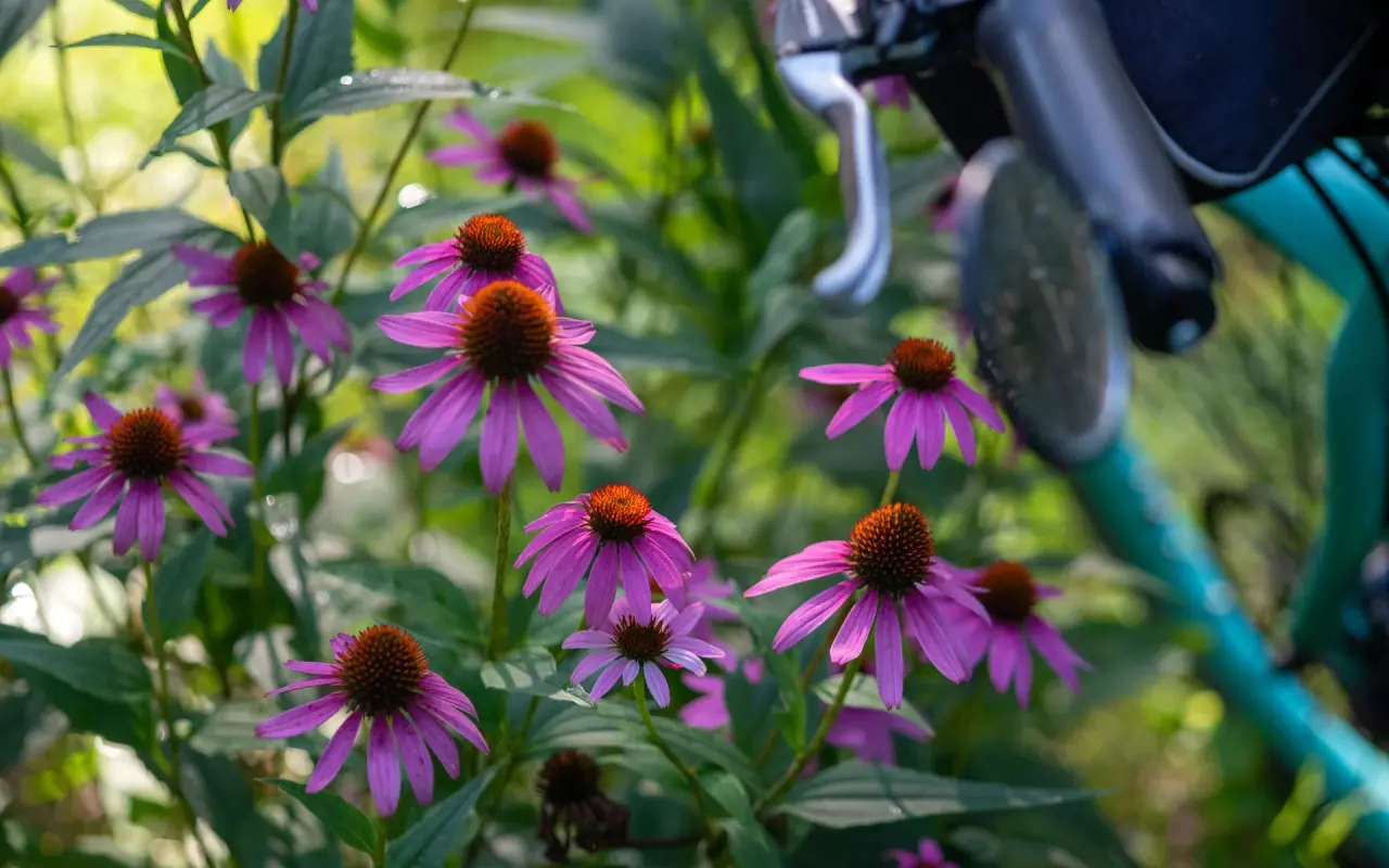
Purple coneflowers against the handlebar of a parked bike, midsummer on the island.
The best months for cycling are May, June, September, and October. The annual Bike MS: Ride the Vineyard charity ride (Saturday, May 2 in 2026, billed as its 35th year) starts and finishes at the regional high school in Oak Bluffs, with 25, 45 and 60-mile routes. Peak summer (July–August) brings the busiest roads and the hardest-to-book rentals. If you're riding then, go before 9 AM, when the roads are quiet and the light is still low over the water.
All six island towns have voted to ban the sale of single-use plastic water bottles under 34 ounces, so a refillable bottle is the easy answer. The Aquinnah Spring on the road out to the cliffs has ice-cold water flowing from a roadside pipe.
Fall and early spring riding has its own feel: the paths and up-island roads are quiet, October rentals are easy to book, and the light is low and gold for most of the day. A few practical things change.
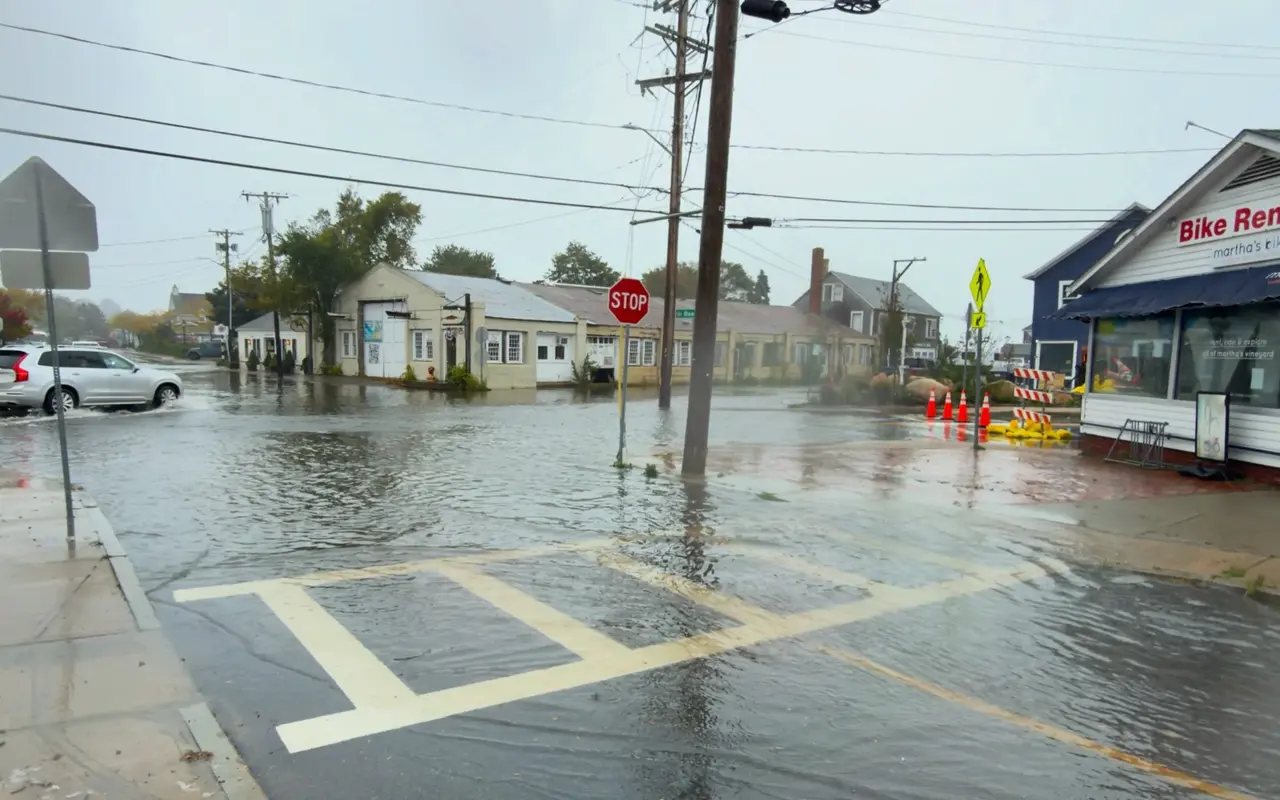
Five Corners during the late-September 2026 nor'easter: water over the crosswalk, cones at the curb and the Martha's Bike rental sign on the corner. Fall storms pass, but the low roads can sit under water for a while.
Planning a fall or winter visit around the rides? Our after Labor Day guide covers what stays open, and the Thanksgiving to March guide goes month by month.
Safety Notice: Island roads can be narrow and busy in summer, up-island most of all, where there are no bike lanes. With kids, or on a day you'd rather not share the road, the down-island paths are the easy choice. The up-island roads are still some of the best riding here: a helmet and lights help, and early mornings bring fewer cars. Paths and roads change with the seasons, so a quick look at conditions before a long ride is worth it.
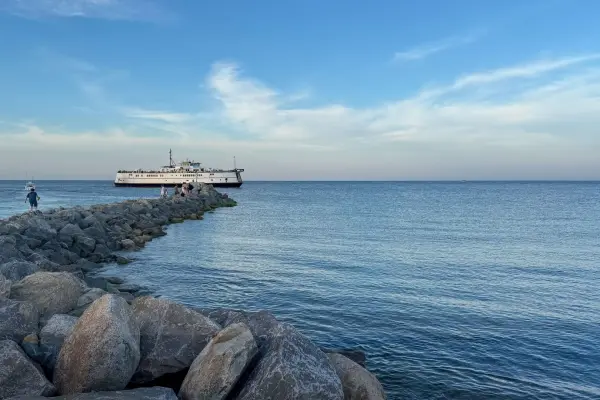 Step 1 · WhenMonth PickerTwelve months compared on NOAA numbers, crowds, prices and what is open.
 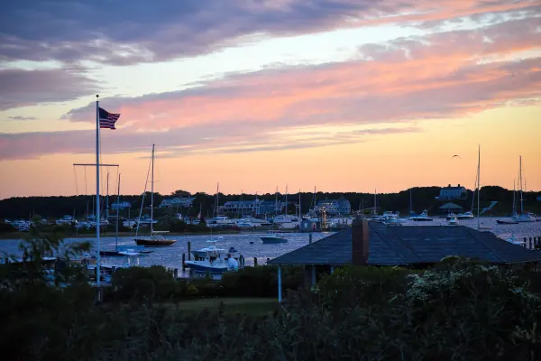 Step 2 · DaysDay-by-Day Trip PlannerMorning, afternoon and evening sketched for every day, events dropped in, emailed to you.
 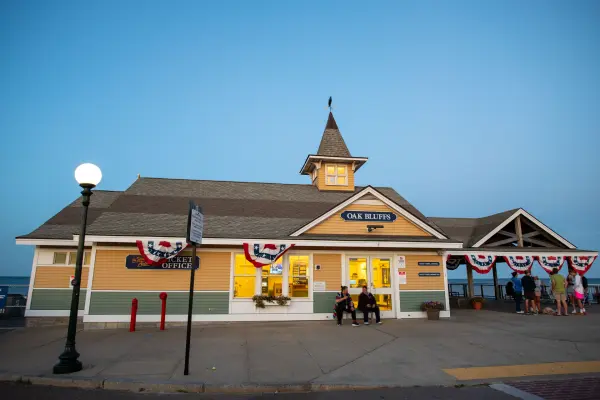 Step 3 · CostTrip Cost CalculatorFerry, beds with the rooms tax, meals, getting around and activities in one price range.
 Our own rides: Edgartown to Vineyard Haven on the path, Oak Bluffs in summer and a woods trail to a hidden beach.
 Bicycle Ride Edgartown to Vineyard Haven Martha's Vineyard
  Oak Bluffs Martha's Vineyard - Bike Ride Summer 2025
  Bike Ride Through the Woods to a Hidden Beach Martha's Vineyard, Vineyard Haven
  Vineyard Haven Bike Ride Summer 2025
  Bicycle Ride Vineyard Haven Franklin Street and Main Street
  Bicycle Ride Skiff Avenue Vineyard Haven Martha's Vineyard
 Yes. Bike fees each way are $5.25 on the Steamship Authority (no reservation, space-available; arrive 30 minutes early), $4 on the Island Queen, $8.50 on Hy-Line and $9 on Seastreak (add the bike when you book). E-bikes cost $18 each way on Seastreak, and the Steamship Authority has proposed limits it has not yet adopted, so check first. The Island Queen and Seastreak finished their regular seasons on October 12; Seastreak sails from New Bedford again over Thanksgiving, November 25 to 29.
Roughly $25 to $45 a day for a pedal bike (Wheel Happy starts at $25, most shops at $35), $25 for kids' bikes, and $70 to $110 for an e-bike. Helmets come with every rental, and most shops add a lock and a path map. In July and August it's worth reserving ahead, especially for e-bikes, and asking about free delivery to your rental or the ferry.
The Katama loop. It runs 3 flat, paved miles from Edgartown center to South Beach, then back through farm fields on Herring Creek Road, about 6 miles total on paths and quiet roads. The Beach Road path to Oak Bluffs is the other easy pick. The up-island roads are better left to grown-ups.
On the roadside paths, yes: Massachusetts treats Class 1 and Class 2 e-bikes as bicycles (never on sidewalks), and we have not found an island town that restricts them. The state forest is the exception: state park rules allow only Class 1 (pedal-assist) e-bikes, on improved trails at least eight feet wide, keep throttle bikes to roads, and no e-bike belongs on unpaved trails.
Take the bus. Most VTA buses carry two or three bikes on a front rack, first come first served, and fares are free through June 30, 2027; from October 4 to April 15 the up-island routes run about every two hours, so check the time before a long ride. Near Menemsha, the small bike ferry crosses the channel to Aquinnah for about $5 in summer and saves about 7 miles of hills. Our VTA schedule shows the routes.
May, June, September and October, when the roads are quiet and rentals are easy to book. In July and August an early start, before 9 AM, helps. Helmets are required for riders 16 and under, and bring a refillable bottle, since the island towns ban the sale of small single-use plastic water bottles.
Book Martha’s Vineyard Experiences
Rather ride with a guide? Browse island tours and cycling day trips. Browse all tours →
If you book through this link we may earn a small commission, at no extra cost to you. It helps keep our guides free.

Island tip of the day Timing No. 58 of 79 New tip at midnight, island time
Oak Bluffs restaurants are packed 6–8 PM. Eat at 5 PM or after 8:30 PM: same food, half the wait, easier parking.
An up-island bike ride near Menemsha Hills in Chilmark on Martha's Vineyard. Bikes aren't allowed on the reservation's trails, so lock up and walk down to the boulder beach.
A bicycle ride from Edgartown to Vineyard Haven on Martha's Vineyard: the full route between the two towns, filmed in 4K.
Bicycle ride along Franklin Street and Main Street in Vineyard Haven, Martha's Vineyard. Boutiques, galleries, and harbor views from the seat of a bike.
A bicycle ride through Vineyard Haven, Martha's Vineyard. Scenic harbors, historic homes, and the island's year-round port town by bike.
Mountain biking on Martha's Vineyard: trails, tips, and local insights for riding beyond the pavement. A guide for seasoned riders and curious beginners.
The free island library · 2026
Beach reports, events worth a day, ferry heads-ups. Sent when there is something worth telling. The Beach Guide, The Vineyard in the Fall, Where to Stay and What It Really Costs arrive with your welcome email.
Get the free guides

Island prices, hours and details change often. Please verify with businesses before you go. Full disclaimer
The island right now
12:46 AM island time
The free island library
Four guides to the whole island
The Beach Guide, The Vineyard in the Fall, Where to Stay and What It Really Costs. No spam, one-click unsubscribe.