A bicycle ride through the wooded hills around Menemsha on video, with what it does not show: the Trustees' Menemsha Hills Reservation bans bikes on its trails, so this page covers the hike to Prospect Hill, the up-island roads where you can ride (North Road, Middle Road, the State Forest), safety on narrow roads, and the bus.
By MV VacationUpdated Nov 1, 2026Facts checked Nov 1, 2026 · 2 tracked8 min read
This ride winds through the wooded hills around Menemsha on Martha’s Vineyard, with twists, turns and enough climbing to make you work for it, and shade most of the way. One thing to know before you pack the bike: the Trustees’ Menemsha Hills Reservation itself does not allow bicycles on its trails at any time of year, so the reservation is a hike, and the riding is on the roads around it. The video below gives you a fair feel for the up-island terrain; the rest of this page covers the hike, the roads where riding is allowed, and how to get up here with or without a car. For the town around it, see our Chilmark and Menemsha guide.
Filmed June 2023The island moves on: shops, signs and prices may differ from what you see here. The text of this guide was checked November 2026.
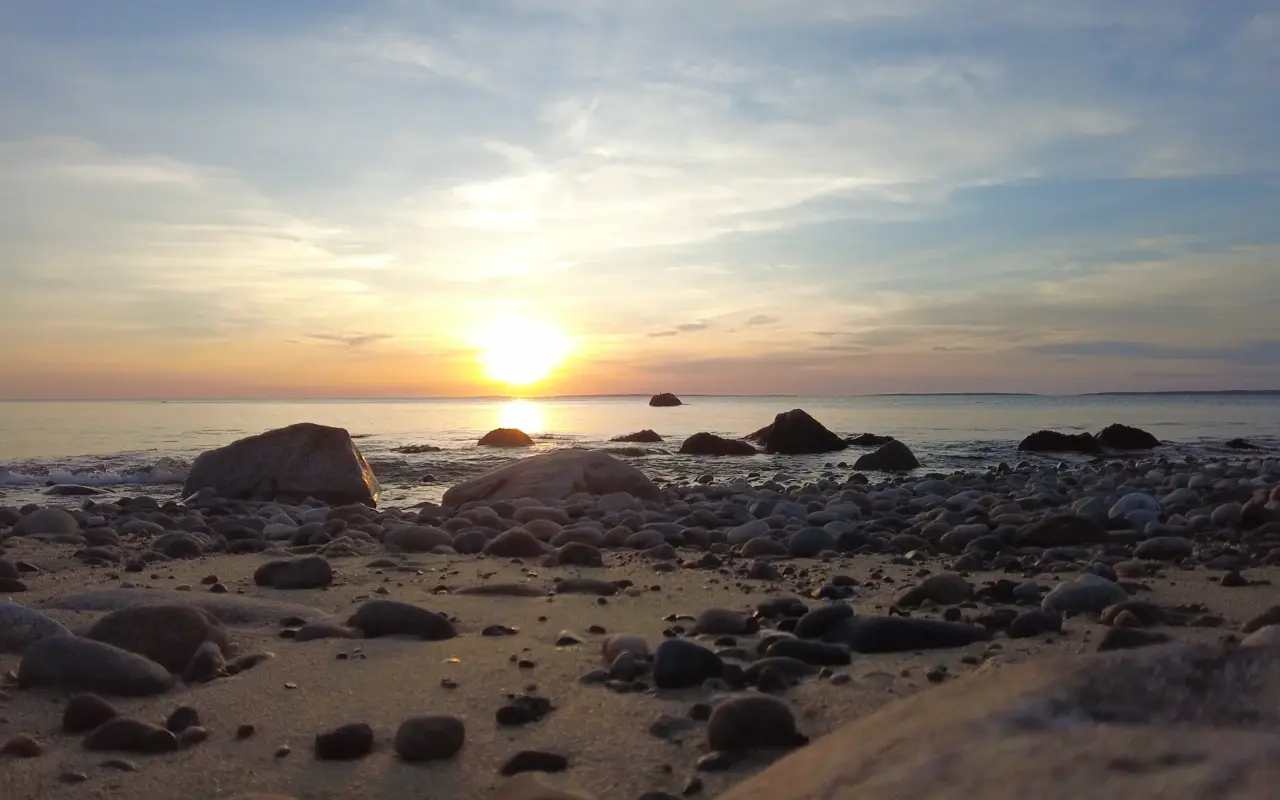
A boulder beach · golden hourPhoto by MV Vacation
Golden hour on a boulder beach, the sun dropping over the water. Below Menemsha Hills the trail down from the bluff is steep and the tide can cover the beach, so the walk back takes a little planning.
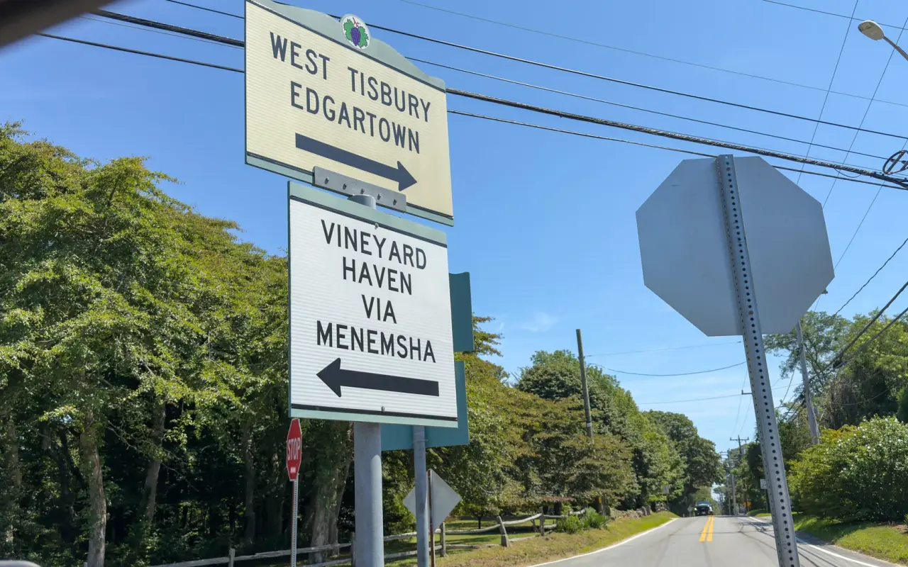
Chilmark · a crossroadsPhoto by MV Vacation
Up-island in one signpost: West Tisbury and Edgartown one way, Vineyard Haven via Menemsha the other. It helps to know your turn before the map stops loading.
A sand road · down to the waterPhoto by MV Vacation
A sand road down to the water, scrub and wind-bent trees on both sides. Quiet roads and open shore are the part the two islands share.
The Trustees of Reservations manage 211 acres here, with about 3 miles of marked trails on two connected loops. The Harris Loop, about a mile, climbs to Prospect Hill, at 308 feet the second-highest point on Martha’s Vineyard, with views across Vineyard Sound to the Elizabeth Islands, Aquinnah and Menemsha Harbor; the trail carries on down to a boulder-strewn north shore beach, past the 19th-century ruins of a brickworks with a 45-foot chimney. Count on 383 feet of climbing and 90 minutes or more for the whole thing. The trailhead is on North Road, about a mile east of Menemsha, with parking for 20 cars; it is free, open year-round from sunrise to sunset, the ground is rocky and uneven, dogs stay on a leash, and tick spray is a good idea in every month but the coldest. It is one of the classic winter walks on the island, and our hiking guide has the trail notes.
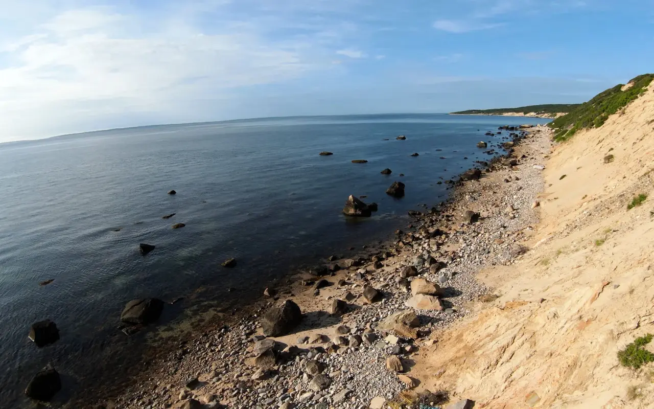
Menemsha Hills · the north shorePhoto by MV Vacation
The boulder beach under the sand bluffs at Menemsha Hills. The trail down from Prospect Hill passes the 19th-century brickworks chimney on the way.
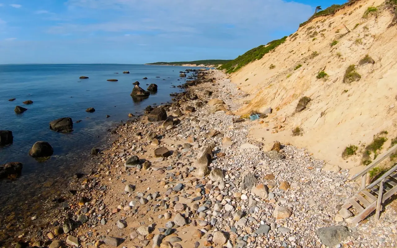
A stony shore · low, warm lightPhoto by MV Vacation
A stony shore below a sandy bluff, with wooden stairs coming down and calm water alongside.
Chilmark · a pond by the shorePhoto by MV Vacation
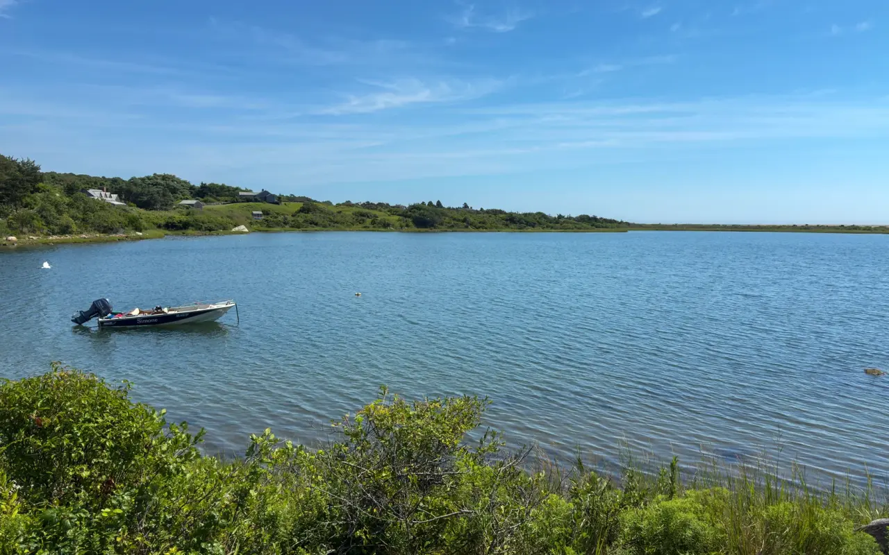
A pond on a calm summer day, one skiff on a mooring and a low strip of beach along the far side.
Where you can ride up-island
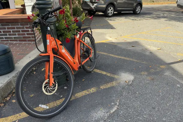
The roads are the ride. North Road from West Tisbury to Menemsha, about 6 to 7 miles, is one of the prettiest rides on the island and one of the hardest: hilly, no bike lane, north-shore views and farm ponds between the trees, so it suits confident cyclists, and an e-bike helps a lot. A good plan is bus up and bike back, since the ride east is mostly downhill and the VTA racks take up to three bikes. Middle Road, which islanders call the least improved of the main roads, passes Keith Farm, where cows graze with the Atlantic behind them, and hosts the Chilmark Road Race, a 5K on the second Saturday in August that finishes at Beetlebung Corner, the crossroads where State Road, South Road, Middle Road and Menemsha Crossroad meet. South Road has an old stone animal pound from the sheep-farming days. For legal off-road riding with real climbs, the Correllus State Forest in the middle of the island has paved loops and mountain-bike trails; our mountain biking guide and island cycling guide cover them.
West Tisbury · a stone wallPhoto by MV Vacation
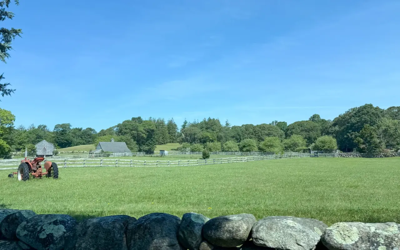
A stone wall, a green field and an old tractor in West Tisbury, the up-island picture most people come for.
Protected land · a path through the woodsPhoto by MV Vacation
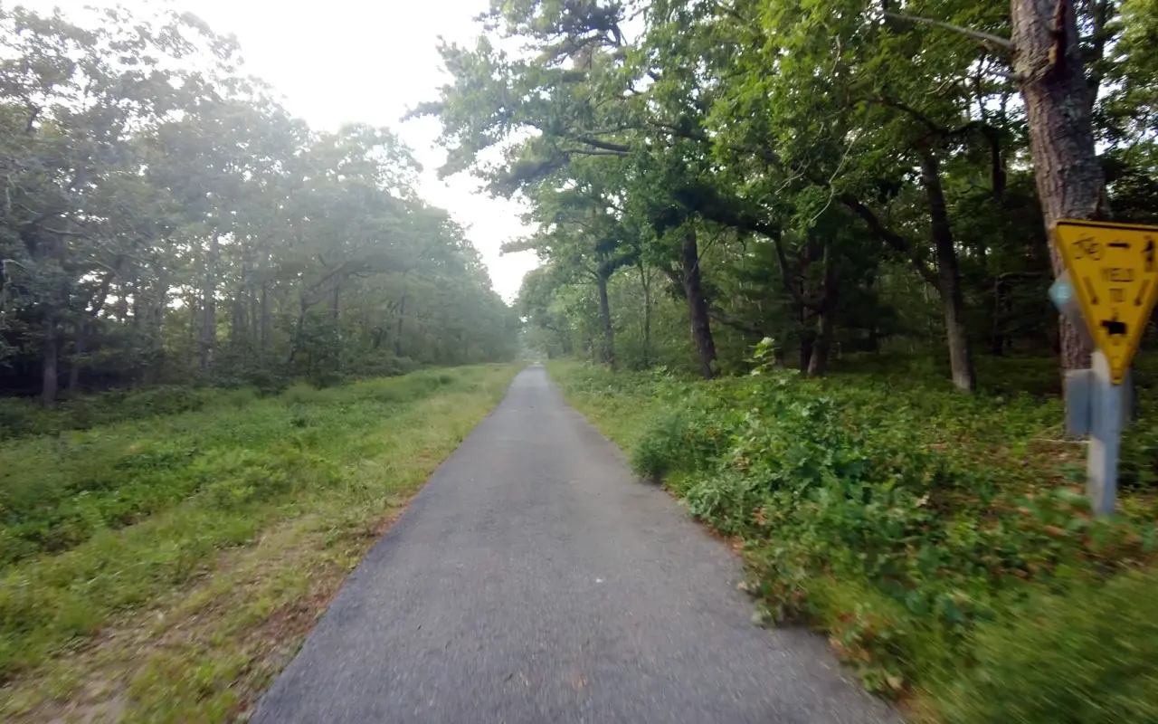
So much of the island is conservation land that camping stays tightly limited.
Chilmark · Beetlebung CornerPhoto by MV Vacation
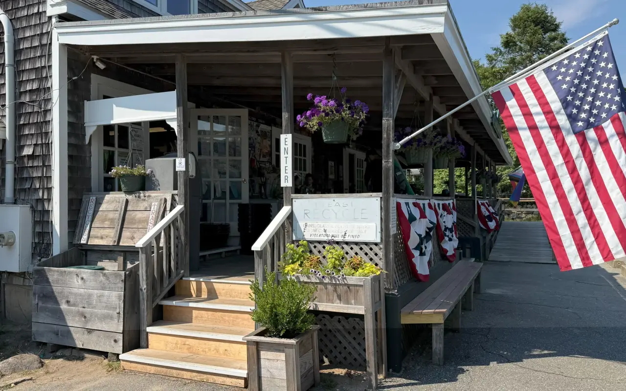
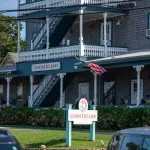
The Chilmark General Store at Beetlebung Corner, flag out and the porch benches waiting.
For beach days · free guide
The Beach Guide
All 20 beaches with parking, stickers, lifeguards and dog rules, plus a one-page card for the beach bag. Free with the island letter, together with three more island guides.
10 pages · Edition 2026 · checked on the island
One-click unsubscribe, and we never share your email.
Riding safely up here
Up-island roads are narrow, winding and shaded, with blind bends and summer traffic, and nothing here has a separated path. Ride single file, wear a helmet, use lights even by day under the trees, and keep to a pace that lets you stop for a deer or a delivery truck around the next corner. Early morning has the lightest traffic all year. Massachusetts law since 2023 asks drivers to give cyclists four feet when passing, and the signs are up on the island roads. If the roads put you off, the State Forest and the paved paths down-island are the easy days.
Menemsha · the docksPhoto by MV Vacation
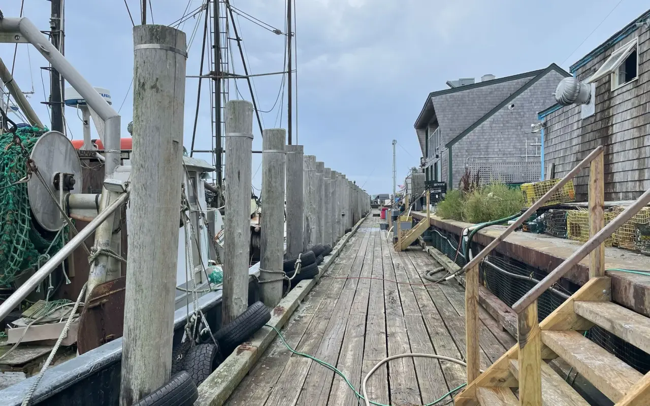
Menemsha’s working docks, pilings and shingled fish houses, where the up-island day ends.
West Tisbury · the busPhoto by MV Vacation
A VTA bus at a West Tisbury stop in summer, a bike on the front rack and riders getting on.
Getting there
Chilmark is about 25 minutes by car from Vineyard Haven. By bus, VTA Route 4 runs along North Road straight to Menemsha and Route 5 along South Road to Aquinnah, both connecting through West Tisbury Town Hall; off-season the up-island buses come every two hours, and the last bus out of Menemsha leaves at 5:01 PM, so check the last bus back before you stay for the sunset. Rides are fare-free through June 30, 2027. For lunch, the Menemsha Galley Temporarily closedClosed for the season; back in spring 2027, per its own site and Larsen’s Temporarily closedClosed for the season until May 2027, per its own site have closed for 2026 and plan to reopen in spring and May 2027; the Chilmark General Store at Beetlebung Corner closed for the season on October 9.
Menemsha Hills Reservation, North Road, Chilmark, MA 02535Google Maps
Frequently asked questions
Can I ride a bike in Menemsha Hills Reservation?
No. The Trustees do not allow bicycles on the trails at any time of year. Lock the bike at the North Road trailhead and walk.
How hard is the hike?
About 3 miles with 383 feet of climbing on rocky ground, 90 minutes or more; the Harris Loop to Prospect Hill is the short version at about a mile.
Which road should I ride?
North Road from West Tisbury is the classic, 6 to 7 miles and hilly with no bike lane; the bus up and the ride back down is the easy way to do it.
How we checked: the video is ours, filmed on the roads around Menemsha. Reservation facts (acreage, trails, the bike ban, parking) are from the Trustees of Reservations, road and race details from our Chilmark town guide and hiking guide, bus times from the VTA’s off-season timetable, and the restaurant closures from the businesses’ own notices as recorded in our Menemsha guide. Last checked November 1, 2026.
From MV Vacation, written on Martha’s Vineyard · https://mvvacation.com/blog/exploring-menemsha-hills-bicycle-ride · printed . Hours, prices and schedules change; the page online is the current one.
Four free downloads · 2026 editions
Four island guides, in your inbox
The Beach Guide (all 20 beaches decoded), The Vineyard in the Fall, the season date by date, Where to Stay, every town and price band, and What It Really Costs, the 2026 budget line by line. All four PDFs free, plus a short island letter when there is something worth telling. No schedule, no spam.
No spam, unsubscribe in one click. Want a look first? See what you get.
First email ever from us? Give it a minute, and peek in spam once.
Disclaimer: The information in this article is provided for general guidance only and was accurate at the time of writing. Beach conditions, hours, prices, lifeguard schedules, ferry fares, and business operations change frequently and without notice. Ocean swimming carries inherent risks including rip currents, undertow, and cold water shock. Always verify current conditions with official local sources before your visit. MV Vacation assumes no responsibility for any loss, injury, or inconvenience resulting from the use of this information. Swim only where lifeguards are on duty, supervise children at all times near water, and follow all posted safety signs.
A guide to Martha's Vineyard, written on the island: beaches, dining, events and island living. We write down what we know about the island so your trip goes the way you hoped. How we check our facts.
Lobster on Martha's Vineyard from trap to paper plate: how the small Menemsha fleet fishes, the Massachusetts rules on size, egg-bearing females and whale-safe gear, where to buy lobster off the boat (Larsen's, Menemsha Fish Market, The Net Result), how to eat it on the dock with your own bottle, and how a visitor can get a permit and catch a few.
Every farm stand and visitable farm on Martha's Vineyard, checked with the farms in September 2026: Morning Glory, Beetlebung, North Tabor, Mermaid Farm's 24-hour dairy shed, Native Earth, Allen Farm, Island Alpaca, the FARM Institute and the West Tisbury Farmers Market, with hours, honor-system rules and the fall pumpkin dates.
Cycling Martha's Vineyard in 2026: about 38 miles of bike paths, 5 routes from easy family rides to the 60-mile island loop, rental prices, and e-bike rules.
Four bike rides and a run around Vineyard Haven, Martha's Vineyard, filmed from the handlebars: a loop around town, Franklin and Main Street, the path to Edgartown both ways, Beach Road to Oak Bluffs, and the run to West Chop, with rentals, a map and how to get there.
Menemsha fishing village guide: the sunset crowd, Larsen's lobster, Dutcher Dock, Jaws spots, and tips for parking and dining.
Island tip of the dayTimingNo. 78 of 79New tip at midnight, island time
Owen Park Beach in Vineyard Haven is almost never crowded: most visitors go straight from the ferry to bigger beaches. Calm, shallow, perfect for a last-morning swim.
Useful?
More on
Subscribe
The free island library · 2026
One short island letter, and all four guides to start
Beach reports, events worth a day, ferry heads-ups. Sent when there is something worth telling. The Beach Guide, The Vineyard in the Fall, Where to Stay and What It Really Costs arrive with your welcome email.
The Beach Guide, The Vineyard in the Fall, Where to Stay and What It Really Costs. No spam, one-click unsubscribe.
We use cookies for trip planning, site stats and ads, including ads based on your browsing. To opt out, turn on Global Privacy Control in your browser. Cookie policy
These cookies are essential for the website to function properly.
These cookies help us understand how visitors interact with the website.
These cookies are used to deliver personalized advertisements.