Every hiking trail on Martha's Vineyard: 220+ miles across 114 properties. Menemsha Hills, Cedar Tree Neck, Felix Neck, Gay Head, and tick safety tips.
Martha's Vineyard has 220+ miles of trails across 114 properties managed by five conservation organizations — roughly 40% of the island is permanently protected. No towering peaks, but an astonishing diversity: coastal bluffs, salt marshes, pitch pine forests, freshwater ponds, and glacial meadows packed into 87 square miles. Every trail is accessible to families and beginners. Here's the complete 2026 guide.
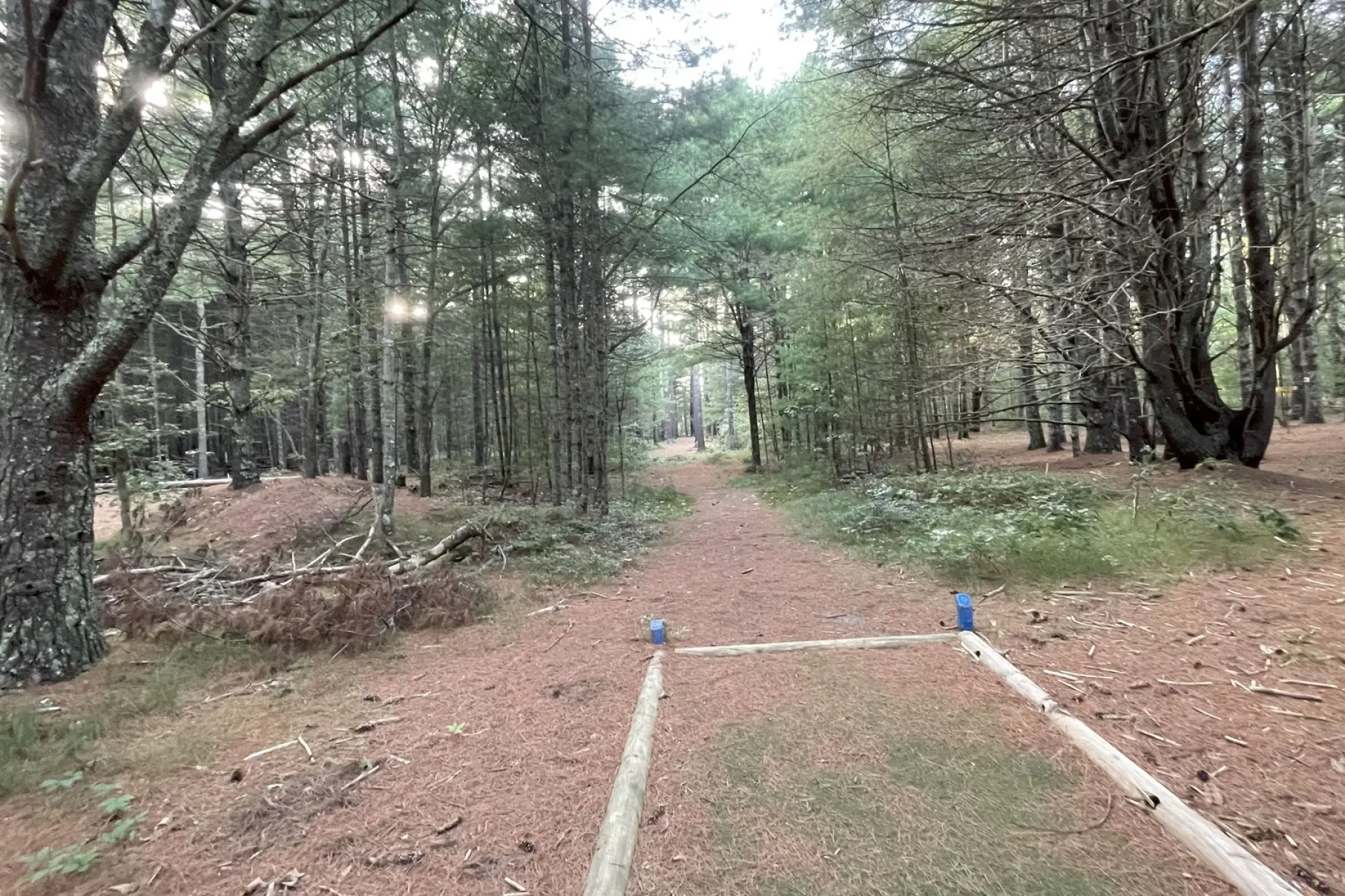
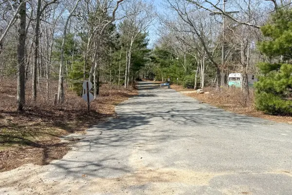
Peaceful dirt road through Martha's Vineyard woods — Photo by MV Vacation
September–October is ideal: pleasant temps (65–74°F), fewer crowds, lower tick activity, fall color. Ticks are the #1 safety concern — Lone Star tick cases at MV Hospital surged from 2 to 445 between 2020–2024. Non-negotiable: permethrin-treated clothing, DEET repellent, full-body tick checks after every hike, dryer on high 20 min. Download the free TrailsMV app — works offline (critical for up-island where cell coverage fails).
Best Hikes by Area
Menemsha Hills — The Island's Best Hike
AllTrails 4.8/5 (349 reviews). 211 acres, ~3.7 miles combined loops. Prospect Hill (308 ft) — panoramic views of Menemsha Harbor, Elizabeth Islands, Gay Head Lighthouse. Harris Loop (1.0 mi) to summit, Nashwahkamuk Loop (1.5 mi) to rocky beach, Brickyard Trail (1.6 mi) past 19th-century ruins with 45-ft brick chimney. 383 ft elevation gain — most strenuous hike on MV. ~20 car parking off North Rd. Free. Dogs on leash. Allow 90+ min.
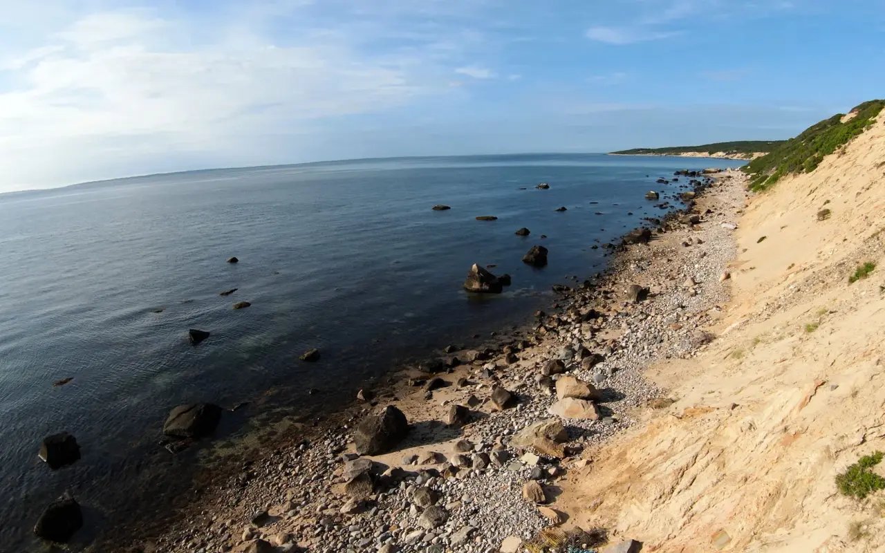
Dramatic cliffs along the Menemsha Hills trail — Photo by MV Vacation
400 acres. White Trail (1.7 mi) through oak/beech/cedar forest to coastal bluffs with Cape Cod views. Waterfall, cranberry bogs, stone walls. ~2.5 mi total network. Free, 8:30 AM–5:30 PM, year-round. Dogs on leash. No swimming at beach.
194 acres, 4 mi of trails along Sengekontacket Pond. 100+ bird species, active osprey nests. $4 adults, $3 kids. Old Farm Road is stroller-friendly. No dogs.
Island's highest point: 311 feet. 1.7-mile loop with panoramic south shore/Atlantic views. WWII Army Signal Corps remnants at summit. Off Tabor House Rd.
191 acres. 3 miles through meadows and ridgelines to a 14-foot glacial erratic split down the middle — marked the colonial-era English/Wampanoag boundary. 17th-century homestead remnants (cellar holes, stone walls). Free.
South Head Trail (0.9 mi, year-round) descends to Moshup Beach beneath the 130-ft Gay Head Cliffs. North Head Trail (~1.0 mi) with lighthouse views — open Sep 15–Jun 14 only. Summer parking $35/day. Do not climb cliffs or remove clay.
Manuel F. Correllus State Forest
5,300 acres — island's largest conservation area. 14 miles of trails through pitch pine woodland. Fire Road Loop (3.0 mi) and Red Trail (3.6 mi). Best shade on hot days. Free. Dogs on leash. Easy to get disoriented — carry a map.
Cape Poge — 516 acres, 7-mile barrier beach. 3.5 mi one-way through soft sand to lighthouse. Walk/bike free. Poucha Pond — 2.1 mi out-and-back through grasslands. Cross-Chappaquiddick Trail — 6 mi connecting multiple preserves. All free. Full Chappy guide.
Quick Picks
Best ocean views: Menemsha Hills (Prospect Hill 308 ft panorama)
Best birding: Felix Neck (100+ species, osprey nests)
Best for families: Sheriff's Meadow (0.6 mi, flat, free, walkable from Edgartown)
Best sunset: Sepiessa Point (west-facing over Tisbury Great Pond)
Best near a beach: Long Point (trail + ocean surf + freshwater pond swimming)
Best solitude: Fulling Mill Brook (quiet Chilmark woodland along a 1694 mill brook)
By Difficulty
Easy: Sheriff's Meadow (0.6 mi), Mytoi (0.5 mi), Priester's Pond, Fulling Mill Brook. Moderate: Felix Neck (2.2 mi), Cedar Tree Neck (2.5 mi), Sepiessa Point (2.5 mi), Peaked Hill (1.7 mi), Trade Wind Fields (3.0 mi). Challenging: Menemsha Hills full loop (3.7 mi, 383 ft gain), Cape Poge beach walk (3.5 mi soft sand), Cross-Chappaquiddick (6 mi).
Practical Info
Maps: TrailsMV app (free, offline), Land Bank map at mvlandbank.com, "Walking Trails of MV" pocket guide at Bunch of Grapes or Alley's. Dogs: Varies by property — Land Bank mostly allows dogs, Sheriff's Meadow requires leash, Trustees prohibit at Long Point/Mytoi, Felix Neck prohibits all pets. Parking: Free at most trailheads but lots are small (15–20 cars). Arrive early in summer. Hunting season (Oct–Dec, not Sundays): wear blaze orange.
The SSA eFerry system lets you buy walk-on tickets from your phone — no standing in line. Tickets use NFC tap-to-board at the gate. Set it up before arriving.
Planning a trip to Martha's Vineyard?
Get insider tips, seasonal updates, and beach reports — straight to your inbox.
No spam. Unsubscribe anytime.
Disclaimer: The information in this article is provided for general guidance only and was accurate at the time of writing. Beach conditions, hours, prices, lifeguard schedules, ferry fares, and business operations change frequently and without notice. Ocean swimming carries inherent risks including rip currents, undertow, and cold water shock. Always verify current conditions with official local sources before your visit. MV Vacation assumes no responsibility for any loss, injury, or inconvenience resulting from the use of this information. Swim only where lifeguards are on duty, supervise children at all times near water, and follow all posted safety signs.
Your insider guide to Martha's Vineyard — beaches, dining, events, and island living. We share local knowledge to help you plan the perfect Vineyard getaway.
You can bring a rental truck to the Vineyard, but only on the Steamship Authority boat, and the booking works differently than it does for a car. What the trucks really measure, what the ferry charges in 2026, and how to reserve space.
Saturday-to-Saturday Martha's Vineyard itinerary: rental logistics, day-by-day plan from Edgartown and Chappy to Aquinnah and Menemsha sunset, farmers markets, food experiences, and sunset sail. Everything verified for 2026.
Complete parking guide to Martha's Vineyard: free lots, time limits, beach stickers, ferry lots, park-and-ride strategy, EV charging, and how to avoid the 4,500+ tickets written every summer.
50 genuinely free things to do on Martha's Vineyard: beaches, hikes, concerts, lighthouses, lantern festivals, and more. Every location verified, every price double-checked for 2026.
Martha's Vineyard has exactly one campground — the Family Campground in Vineyard Haven. Complete guide to sites, prices, booking, glamping options, and the Cape Cod camp-and-ferry strategy.
Subscribe
Join the MV Vacation Insider Newsletter
Beach reports, event picks, and the tips we’d give a friend visiting Martha’s Vineyard — in your inbox a couple of times a month.