

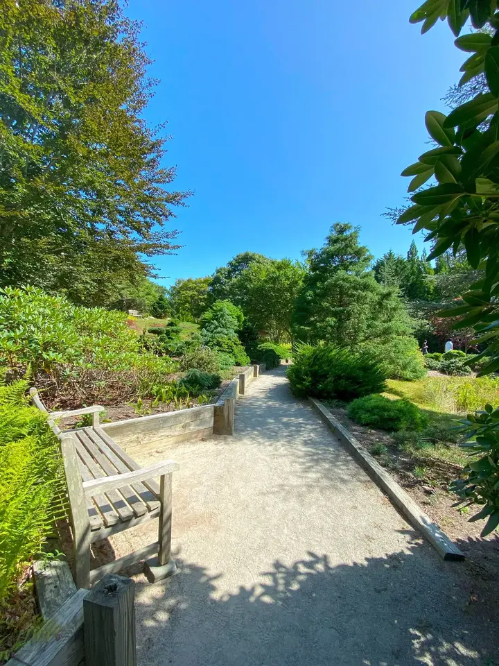
Fourteen acres of Japanese-style garden on Chappaquiddick, a ferry ride from Edgartown: a weathered bench beside a gravel path, and a lot of quiet.
Plate 01
Chappaquiddick Island, Chappy to everyone here, is the quiet island off the end of Edgartown on Martha's Vineyard: remote beaches, a shoreline that moves every winter, nesting shorebirds, and a garden and two reservations kept by The Trustees of Reservations. It is the emptiest corner of the Vineyard, which is a big part of its appeal.
We have filmed and photographed Chappy's beaches, trails and refuges, and the ferry, for years.
If you're already visiting Edgartown, Katama and South Beach are on the same side of town.
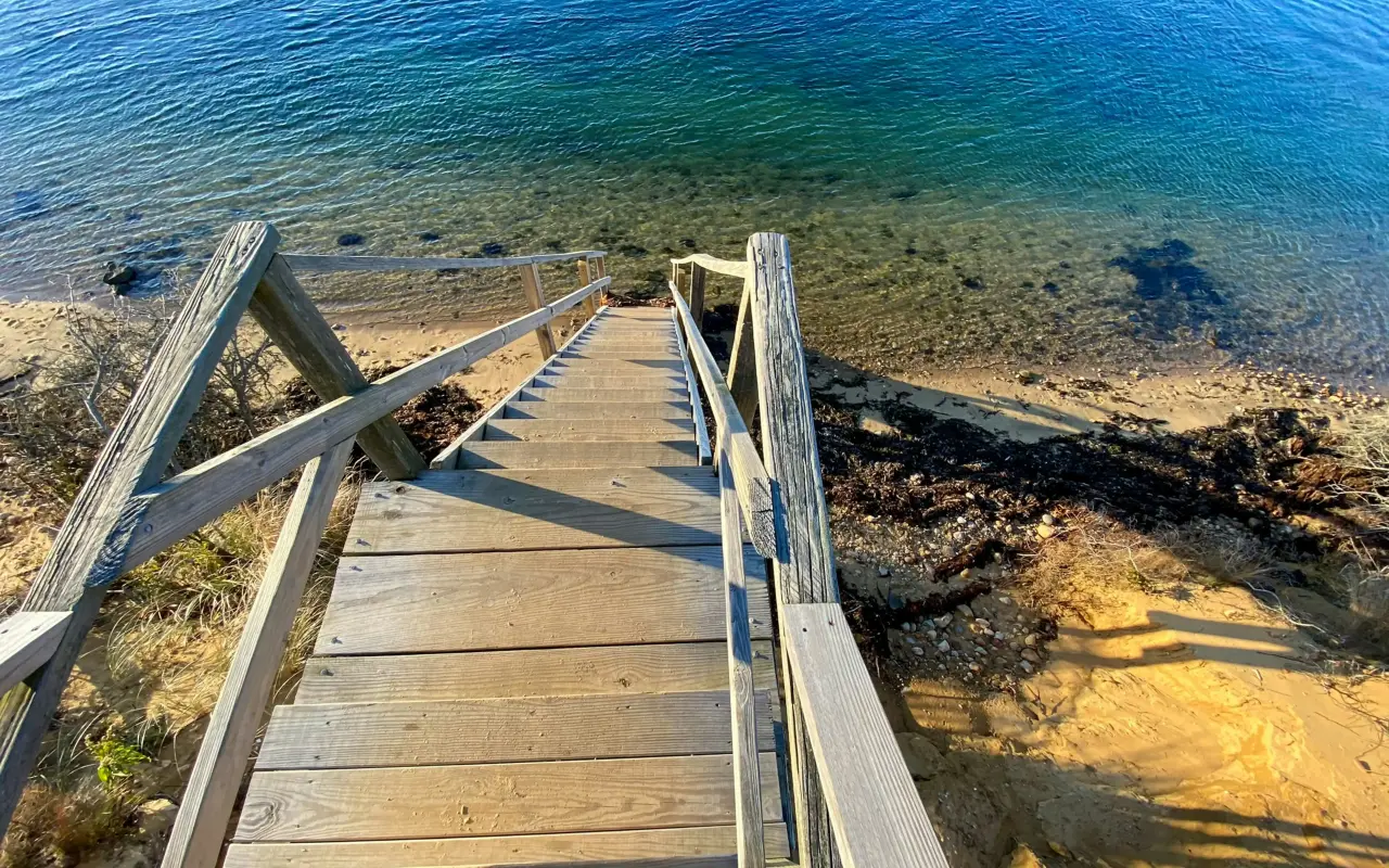
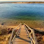
Steps down to one of the island's undeveloped beaches.
Finding Chappaquiddick
The essentials
The essentials on Chappaquiddick
08 STOPSFourteen acres of ponds, bridges, island plants and shaded paths, and very quiet.
Over 500 acres of beach, cedar woods, dunes and osprey nests. The Cape Poge Lighthouse at the far end has guided tours and a view of open ocean.
Eroding fast, with long empty shoreline, strong surf and serious surf fishing. The ground changes shape from one year to the next.
A long, quiet beach reached over Dike Bridge, good for a swim, a long walk and photographs.
The wooden bridge from main Chappy over to Cape Poge, and the way through to East Beach and the refuge. It has its place in island history.
Calm water for kayaks, birds and the sunrise.
The short ride across the harbor mouth between Edgartown and Chappaquiddick. It runs continuously in season, with cars lined up at busy hours.
Flat roads with hardly any traffic. The easy way to reach the beaches, Mytoi and the quiet corners.
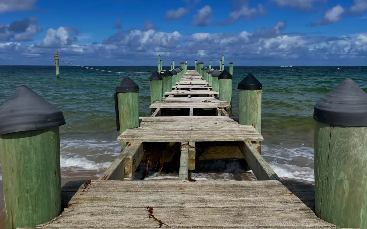
A Chappaquiddick pier with its planks lifted for the winter, put away until the next season.
 A
A 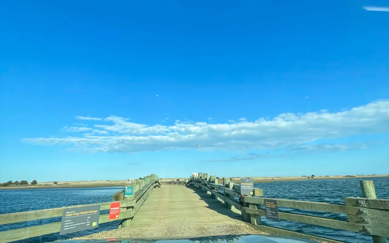 B
B 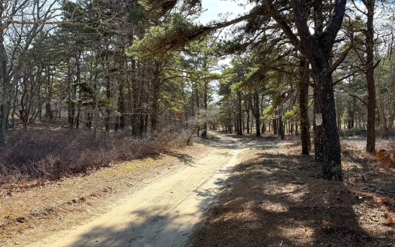 C
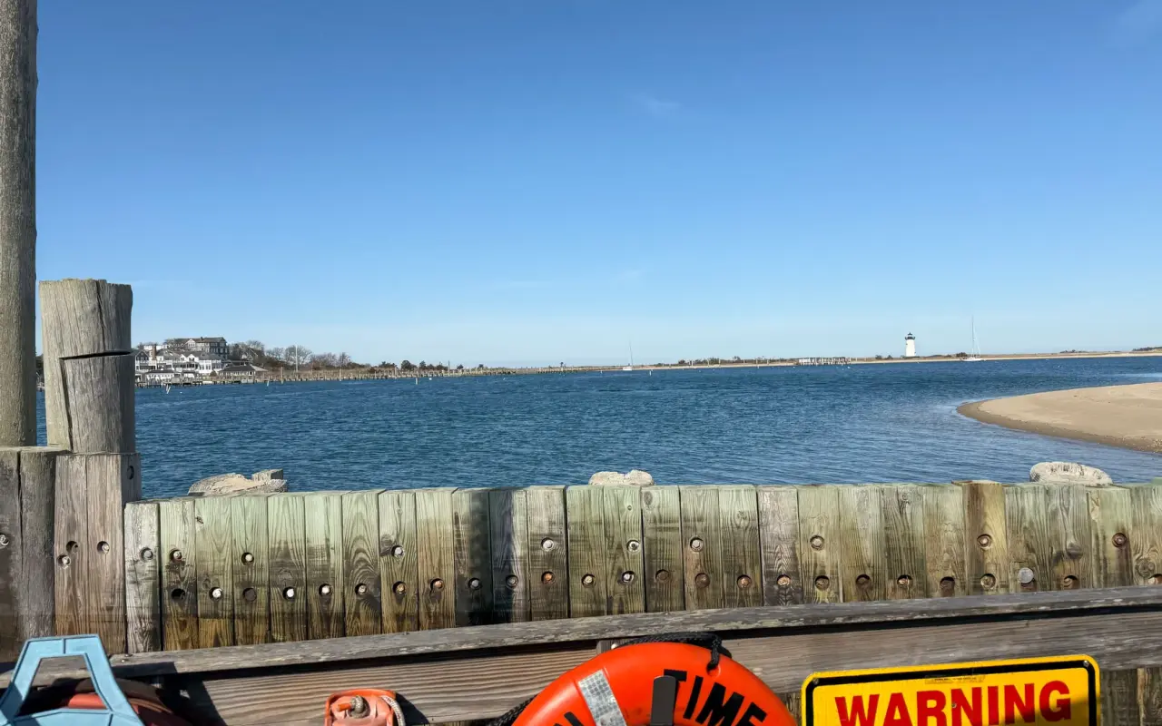
C A: Edgartown Light seen from the Chappy ferry landing; B: Dike Bridge, the gate to Cape Poge; C: a sandy road through the pines, with a Posted sign on one tree.
Getting to Chappaquiddick
The only way over is the Chappy Ferry from Edgartown Harbor, which runs continuously in season. Cars wait in line in July and August; on foot or on a bike you usually go straight on. Check with The Trustees of Reservations for OSV permit rules and beach conditions before you plan a day around the far beaches.
Know Before You Go
Know before you go
In July and August, vehicle wait times can exceed 30 minutes. Walking or biking is often faster.
Chappy has no restaurants and no gas station, and its one small store is seasonal with short hours. Pack water, snacks, sunscreen and beach gear, and outside summer bring everything you'll need for the day.
Over-Sand Vehicle permits are required for Cape Poge and parts of East Beach. Available through The Trustees. Check closures, tides, and sand conditions before driving.
Many areas have nesting shorebirds and protected species, so closures and seasonal restrictions apply.
Early morning and late afternoon are the hours for photographs on the dunes and out at Cape Poge.
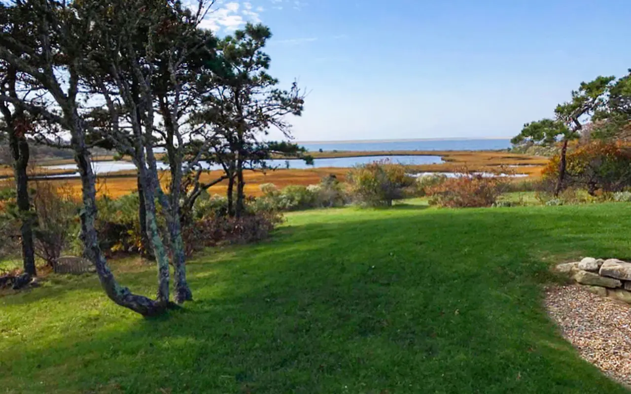
Chappaquiddick’s quiet interior: twisted old trees, a mown lawn and a golden salt marsh opening toward the water.
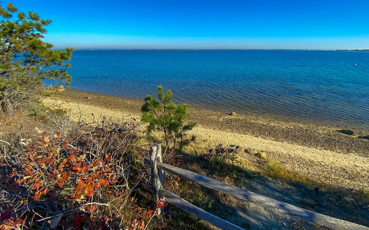
Autumn color in the scrub and a few pines above a pebbly shore on Nantucket Sound, a stretch you can often have to yourself on a weekday.
History
The name comes from the Wampanoag "Cheppiaquidne," usually translated as "separate island." The Chappaquiddick Wampanoag are still part of the island's community today, and have long relied on its ponds, woodlands, and fisheries.
The Chappy Ferry has run for more than a century. Before it, people crossed between Edgartown and Chappy by rowboat.
Shifting sands have changed the island repeatedly. Norton Point Beach, which sometimes connects Edgartown's South Beach to Chappaquiddick, breaches and reforms depending on storms and long-term coastal change.
Questions
Questions about Chappaquiddick
How do I get to Chappaquiddick?
On the Chappy Ferry from Edgartown Harbor. It runs continuously, no timetable.
Are there stores or restaurants on Chappy?
There are no restaurants, and the one small store is seasonal with short hours and closes for the off-season. Bring water, food and whatever else you need.
Is Cape Poge Lighthouse open?
You can always see it from outside: walking out past Dike Bridge is free, but it's a long walk over sand. Getting there with a guide is seasonal, on The Trustees' tours, and those wind down in the fall. Driving it yourself takes a Trustees OSV permit, and that access is part of an ongoing court case, so check The Trustees site before you go.
Can I drive on the beach?
Yes, on certain sections of Cape Poge and East Beach, with a Trustees OSV permit. Conditions vary by season.
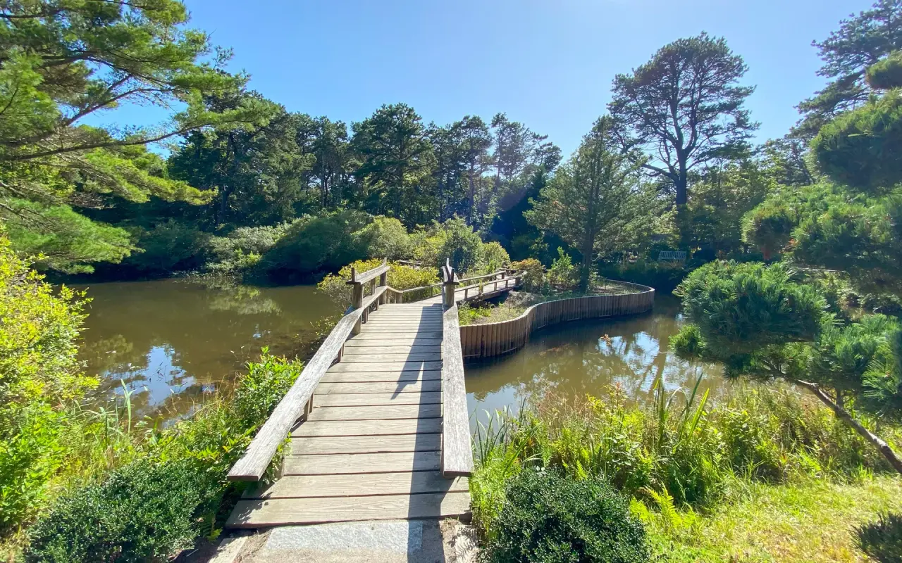
The wooden bridge over the pond at Mytoi, the Japanese-style garden on Dike Road; admission is $10 in season and free November to April.
The Record
Fun facts about Chappaquiddick
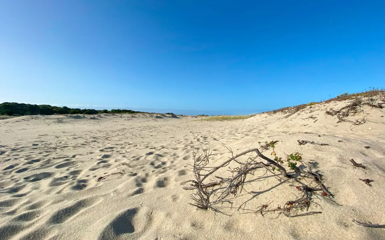
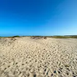
Wind-shaped sand on a Chappaquiddick dune, with a dried branch half buried in the ripples.

 +36
+36 More photos are in our full photo galleries.
More on Chappaquiddick:

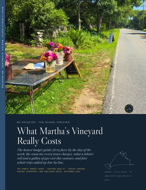 Four free downloads · 2026 The Beach Guide, the Fall Guide, Where to Stay and What It Really Costs Every beach, the fall season date by date, every town and price band for a stay, and the budget guide: four PDFs, free with the island letter. No spam, one click to leave. See a sample first
 Chappaquiddick and Edgartown on film
-
 4th of July Parade Edgartown, Martha's Vineyard
 -
 Edgartown Martha's Vineyard Walking Tour
 -
 Vineyard Haven to Edgartown Bus Ride, Martha's Vineyard
 -
 Exploring Martha's Vineyard Bike Trails, Edgartown Bike Ride
 -
 Edgartown Lighthouse Martha's Vineyard
 -
 Bicycle Ride Edgartown to Vineyard Haven Martha's Vineyard