

Towns · Martha’s Vineyard
Six towns, and the places between them
Down-island is the ferry ports and the walkable centers. Up-island is farmland, hills and the road running out.
The six towns
The old whaling port: white captains’ houses, the lighthouse, and the restaurants that fill in summer.
Gingerbread cottages, Ocean Park, the Flying Horses carousel, and most of the island’s nightlife.
The year-round ferry port. Bookshops, boatyards and the harbor that never fully empties.
Wampanoag land, the clay cliffs and the westernmost point on the island.
Districts and villages worth their own guide
A commercial fishing village at the end of the road, and the sunset the island turns out for.
An island off the island. Remote beaches, Mytoi garden, and no bus service.
Locals split the island in two. Down-island means Edgartown, Oak Bluffs and Vineyard Haven: the ferry ports, most of the restaurants and the walkable centers. Up-island is West Tisbury, Chilmark and Aquinnah, where the roads narrow, the farms start and the last few miles take longer than the map suggests.
 EdgartownDOWN-ISLAND The old whaling port: white captains’ houses, the harbor lighthouse and the restaurants that fill in summer.
 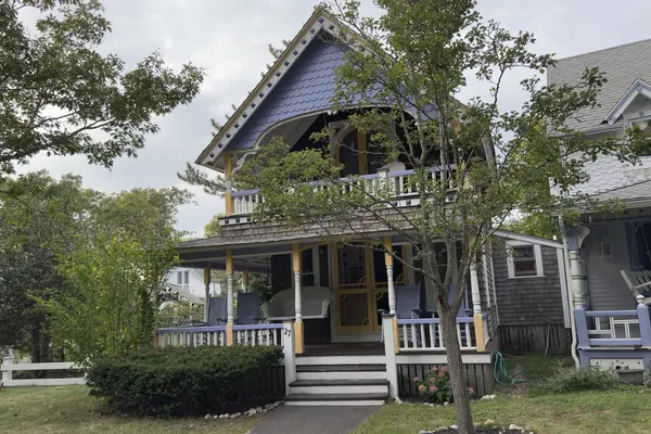 Oak BluffsDOWN-ISLAND Gingerbread cottages, Ocean Park, the Flying Horses carousel and most of the island’s nightlife.
 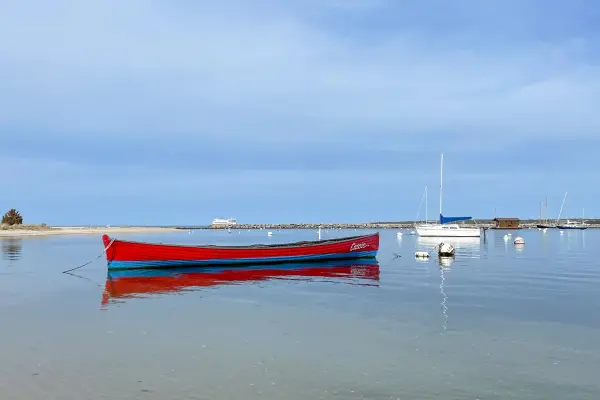 Vineyard HavenDOWN-ISLAND The year-round ferry port: bookshops, boatyards and a harbor that never fully empties.
 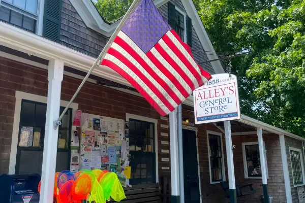 West TisburyUP-ISLAND Farmland, artisan studios and Alley’s General Store, trading since 1858.
 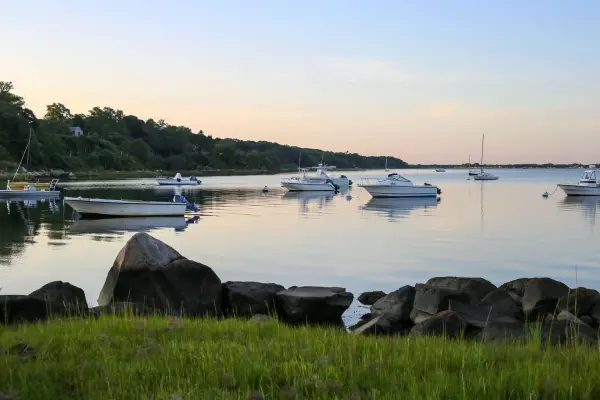 ChilmarkUP-ISLAND Hills, stone walls and a dry town, so bring your own bottle.
  AquinnahUP-ISLAND Wampanoag land, the clay cliffs and the westernmost point on the island.
  MenemshaVILLAGE IN CHILMARK A working fishing village at the end of the road, and the sunset the island turns out for.
 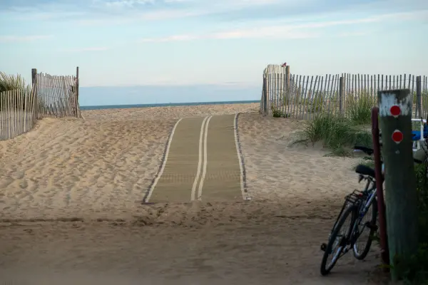 KatamaPART OF EDGARTOWN Miles of open Atlantic, the airfield and the seasonal beach bus.
  ChappaquiddickBY FERRY An island off the island: remote beaches, Mytoi garden and no bus service.
 Which town is right for you?
Which town should I stay in?
Edgartown for the polished, walkable version with the harbor and plenty of restaurants; Oak Bluffs if you want nightlife and a beach you can walk to; Vineyard Haven for the year-round town a block from the ferry, with hotels that stay open off-season. Up-island (West Tisbury, Chilmark, Aquinnah) is for quiet, farms and the cliffs, and you will want a car there. Our where-to-stay guide goes town by town with price bands.
What do down-island and up-island mean?
Down-island is the three ferry-port towns on the eastern end: Edgartown, Oak Bluffs and Vineyard Haven, where the bus runs often and you can do a whole trip on foot. Up-island is West Tisbury, Chilmark and Aquinnah to the west: narrower roads, farms, hills and far fewer services, with the bus running less often.
Which town is closest to the ferry?
The Steamship Authority lands in Vineyard Haven year-round and in Oak Bluffs in season, so both are on the water the moment you walk off. Edgartown is about 15 minutes by the free VTA bus from Oak Bluffs and 20 to 30 from Vineyard Haven; up-island towns are 30 to 60 minutes.
Can I drink in every town?
No. Chilmark, including Menemsha, is fully dry: its restaurants are bring-your-own-bottle, so buy down-island first. West Tisbury and Aquinnah serve beer and wine with meals. The package stores are in Edgartown and Oak Bluffs.
 A
A 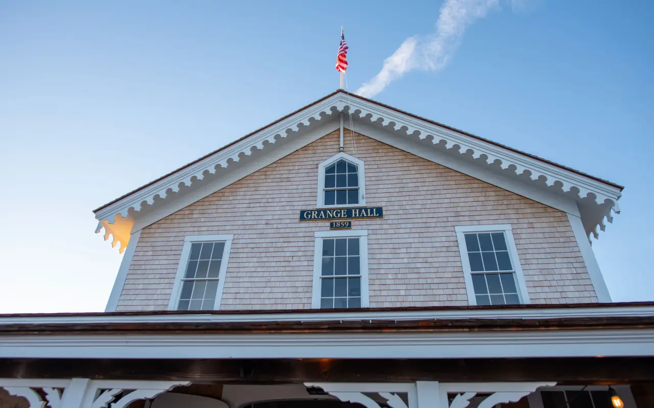 B
B  C
C A: the Edgartown light at the harbor mouth; B: the Grange Hall in West Tisbury, built 1859; C: the clay cliffs at Aquinnah, the far end of the road.
Know Before You Go
How the island is laid out
Edgartown, Oak Bluffs and Vineyard Haven. The ferries land here, the bus runs frequently, and you can do a whole trip on foot.
West Tisbury, Chilmark and Aquinnah. Farms, hills and far fewer services. A car or a bike helps; the bus runs, but less often.
Chilmark is fully dry, so its restaurants are BYOB (bring your own bottle). West Tisbury and Aquinnah pour beer and wine with meals; the only package stores are in Edgartown and Oak Bluffs.
Part of Edgartown, across the harbor mouth on the On Time ferry, a 527-foot crossing. No VTA service on the other side.
Keep exploring



 Four free downloads · 2026 The Beach Guide, the Fall Guide, Where to Stay and What It Really Costs Every beach, the fall season date by date, every town and price band for a stay, and the budget guide: four PDFs, free with the island letter. No spam, one click to leave. See a sample first
 Walk each town before you choose one
Unedited walking tours, filmed at walking pace.
-
 Edgartown Martha's Vineyard Walking Tour
 -
 Main Street Vineyard Haven, Martha's Vineyard Walking Tour
 -
 Vineyard Haven Main Street, Martha's Vineyard Virtual Walking Tour
 -
 Martha's Vineyard Walking Tours Hyperlapse
 -
 Walking Tour Vineyard Haven Martha's Vineyard, Massachusetts
 -
 Gingerbread Houses Oak Bluffs Walking Tour