Sunset at West Chop, the quiet northern tip of Vineyard Haven on Martha's Vineyard: where to stand on the bluff and the beach, the 1891 lighthouse you see from the road, the West Chop Woods, parking, and the 2-mile walk or ride from downtown, with an evening there on video.
By MV VacationUpdated Nov 4, 2026Facts checked Nov 1, 2026 · 1 tracked8 min read
The shore · sunsetPhoto by MV Vacation
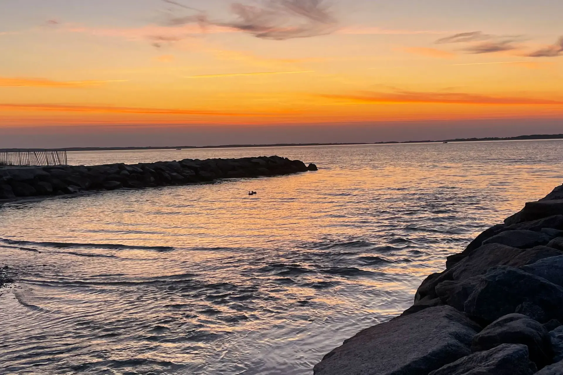
Sunset from the shore, jetty rocks in the foreground and the water gone gold.
West Chop is the quiet northern tip of Vineyard Haven, in the town of Tisbury: a peninsula with Vineyard Sound on one side, the harbor on the other and the West Chop Light at the point. Downtown is about 2 miles back along Main Street, a 35-minute walk or a short bike ride, and at the end of the day the bluff and the beach below it face the sunset over the Sound. The video below is one evening there, start to finish.
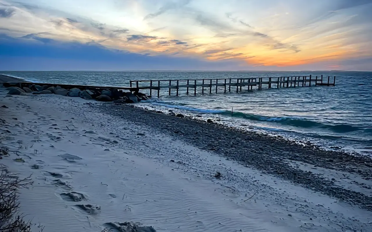
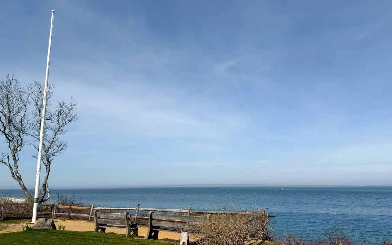
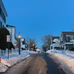
The overlook on the bluff has benches and a flagpole with the Sound laid out flat below it. The beach underneath is sand and pebbles, with low stone jetties reaching out, a snow fence holding the dune and a long pier a little way along, and a sandy path drops through the beach shrubs to the water. The Woods Hole ferries pass close offshore, so most evenings a boat crosses the sunset. In summer the color runs from orange to violet after the sun is down, and it is worth staying for the afterglow; in winter the same bluff is gray and empty, with old snow along the fence and the water flat and quiet. The short clip below is a winter drive on West Chop at sunset, snow on the ground and an orange sky behind the bare trees.
Benches and a flagpole at an overlook on the bluff, the Sound flat and blue below.
West Chop · the shore at duskPhoto by MV Vacation
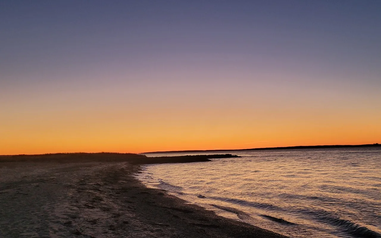
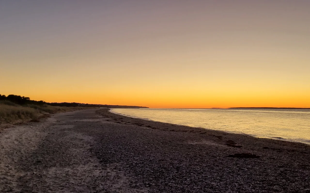
A pebbly stretch of shore at West Chop in the afterglow, beach grass on the bluff and the far shore low on the horizon.
West Chop · duskPhoto by MV Vacation
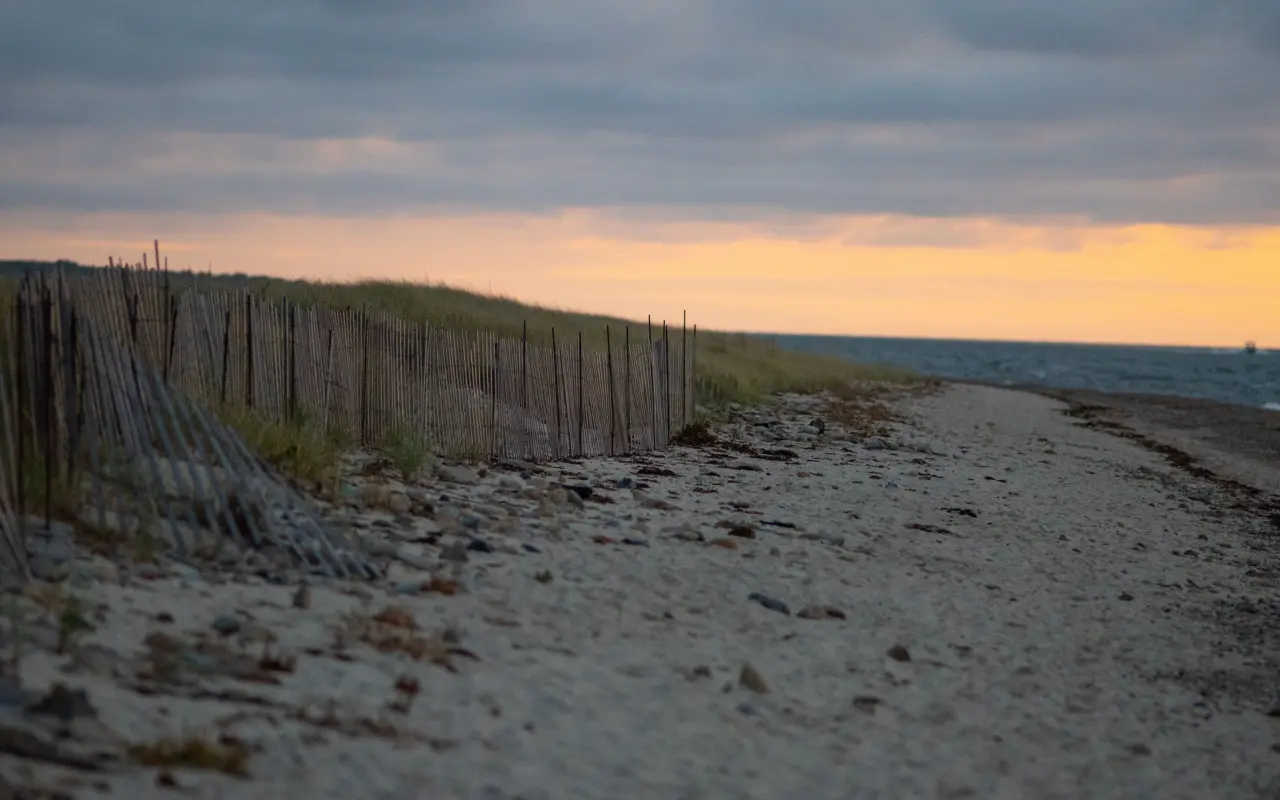
Dune fencing along the West Chop beach at dusk, the sky going orange over the Sound.
West Chop · sunsetPhoto by MV Vacation
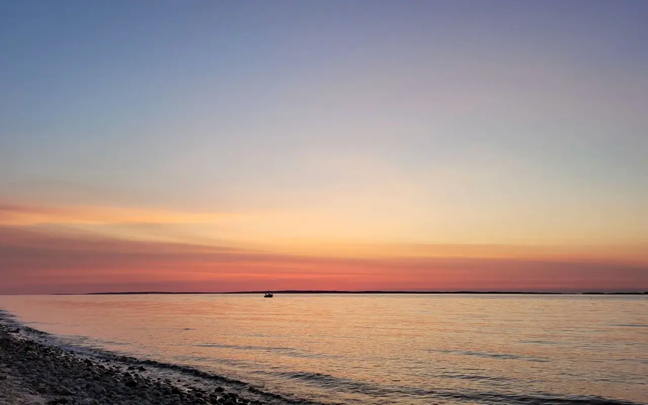
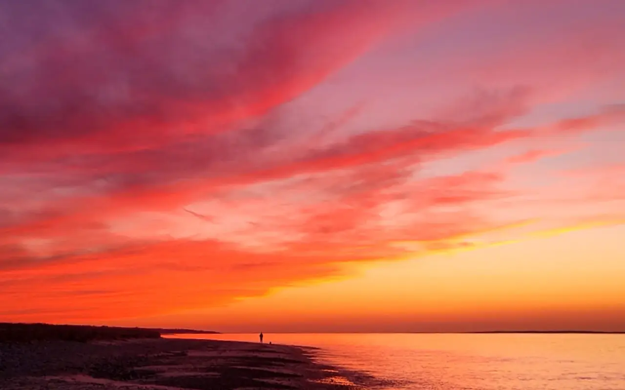
Sunset over Vineyard Sound from West Chop, the island’s northern tip, twenty miles from the cliffs at the other end.
West Chop · sunsetPhoto by MV Vacation
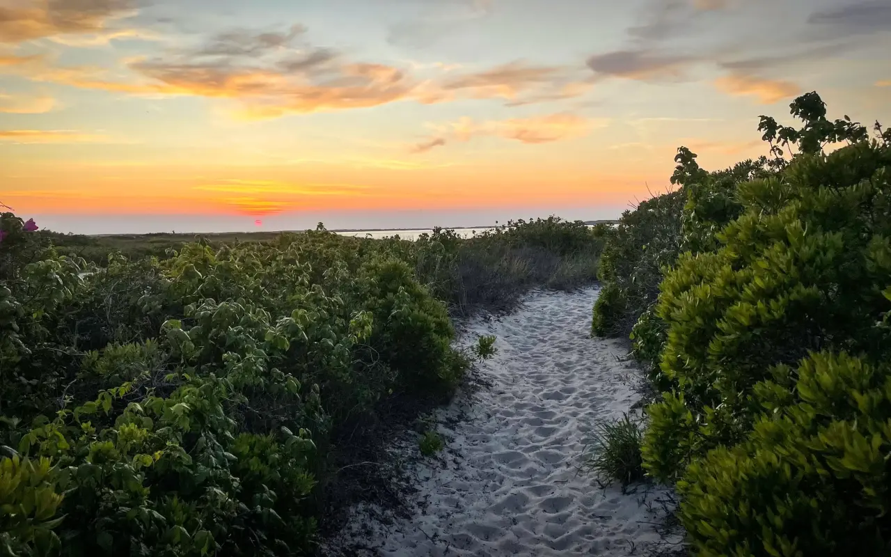
A sandy path through the beach shrubs down to the water at West Chop, the sky going orange after sunset.
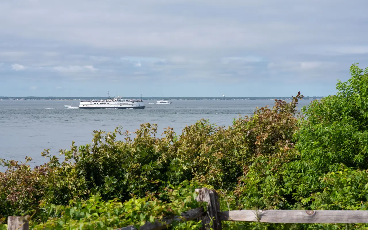
Vineyard Haven · a passing ferryPhoto by MV Vacation
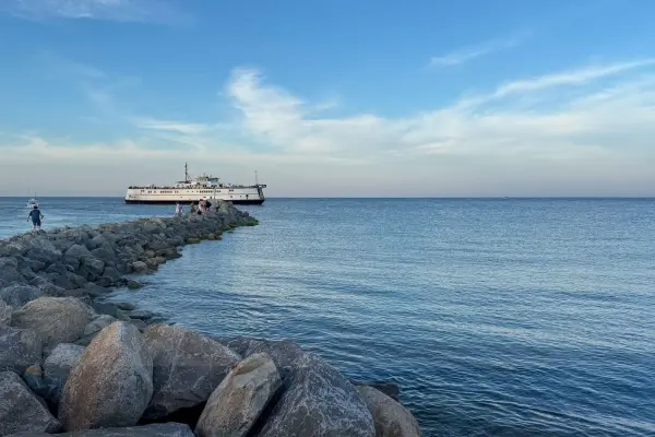
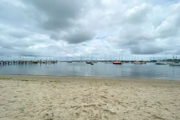
A ferry out on the water on a summer day, seen from the shore.
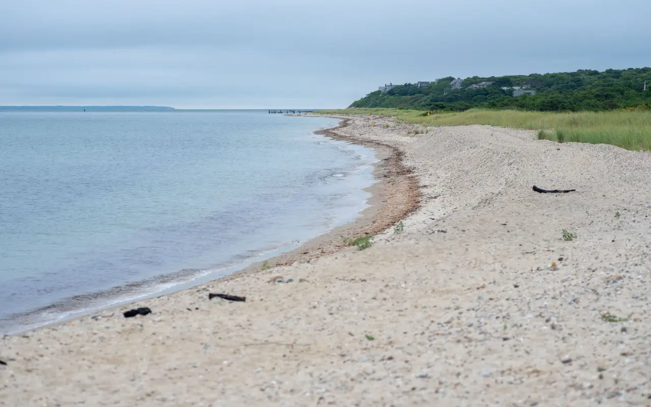
West Chop · the shorePhoto by MV Vacation
The sand and pebble shore at West Chop on an overcast day, the beach curving away toward the houses on the bluff and the Sound flat and gray.
The off-season · a bluff in winterPhoto by MV Vacation
A bluff over the water on a gray winter day, with old snow along the fence and the water flat and quiet below.
The lighthouse and the woods
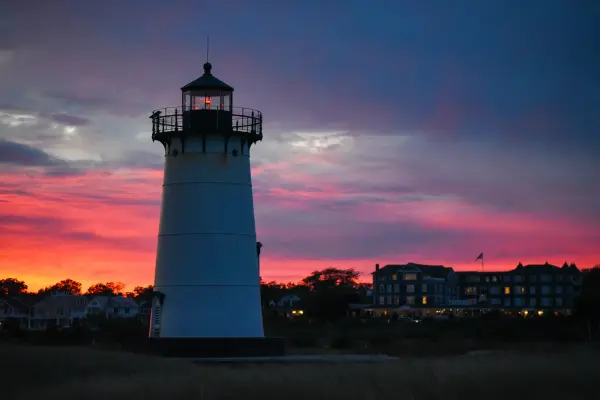
The West Chop Light marks the northern edge of the neighborhood. The brick tower dates to 1891 and is still active, but it is the one island lighthouse not open to the public, because the property is Coast Guard housing; you see and photograph it from the road. The West Chop Woods, 90 acres of Sheriff’s Meadow Foundation conservation land, begin about a mile and a quarter from downtown, with a bike rack at the Main Street entrance and a small lot for two or three cars off Franklin Street. Parking near the point itself is limited to street-side spots by the West Chop tennis courts on Franklin Street, so the walk or the bike is the easier plan. In the short clip below we drive the road out to the West Chop Light, filmed over the hood of the car.
Filmed April 2024The island moves on: shops, signs and prices may differ from what you see here. The text of this guide was checked November 2026.
Vineyard Haven · West Chop LightPhoto by MV Vacation
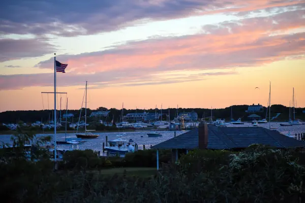
West Chop Light over the keeper’s red roof, at the turnaround point of the run.
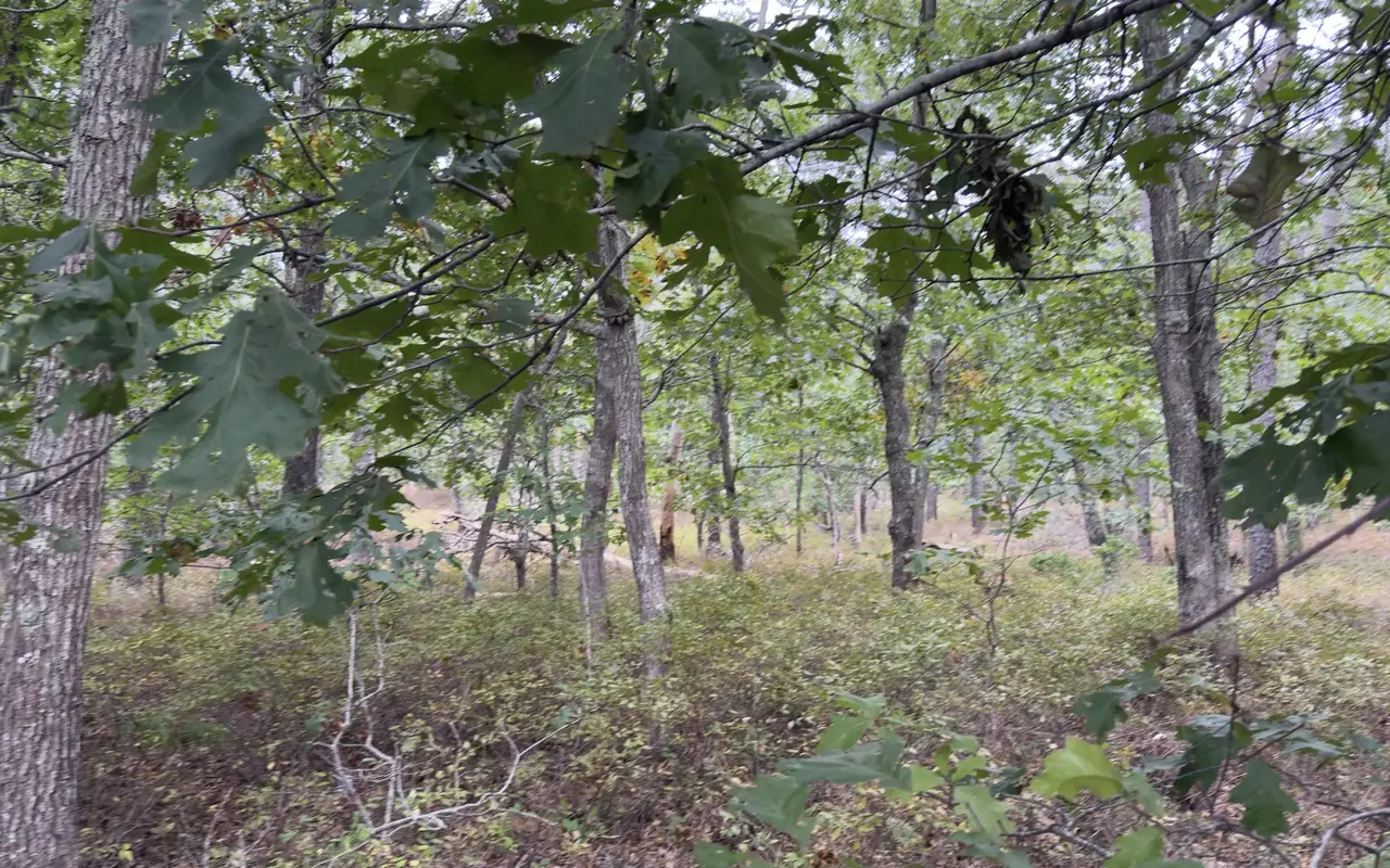
Vineyard Haven · West ChopPhoto by MV Vacation
Oak woods on West Chop in early October, with low shrubs underfoot and the first yellow leaves showing.
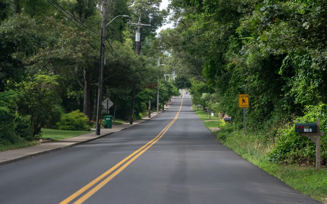
West Chop · the roadPhoto by MV Vacation
The tree-lined road out to West Chop, double yellow line and no traffic.
West Chop · from the railPhoto by MV Vacation
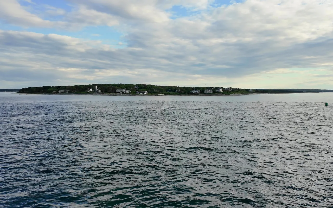
West Chop and its lighthouse from the ferry as the boat clears Vineyard Haven harbor. It is the last piece of the island you see before the open Sound.
Vineyard Haven · a pond in the pinesPhoto by MV Vacation
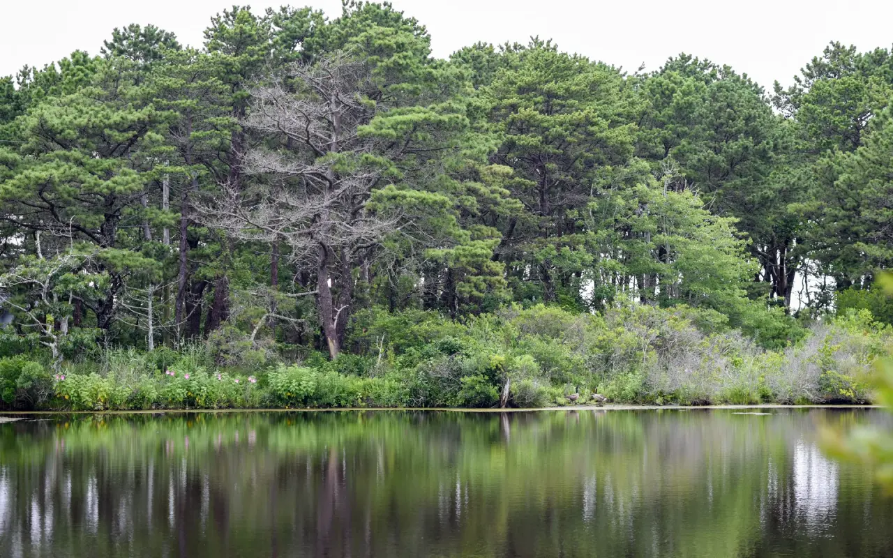
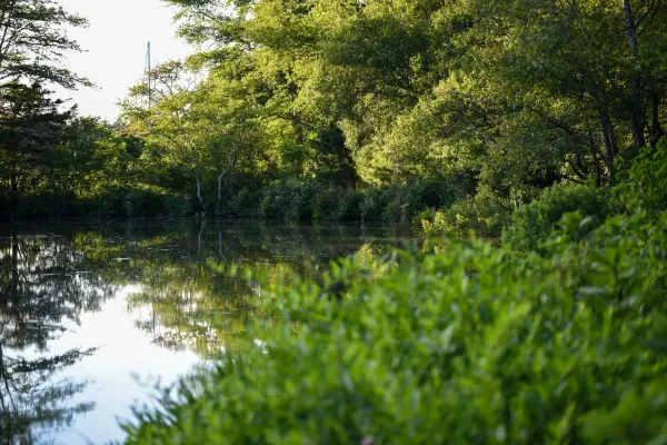
A still pond under the pines, glass-calm on a gray day. The island has dozens like it; most have no name a visitor would know and no path to their edge.
For beach days · free guide
The Beach Guide
All 20 beaches with parking, stickers, lifeguards and dog rules, plus a one-page card for the beach bag. Free with the island letter, together with three more island guides.
10 pages · Edition 2026 · checked on the island
One-click unsubscribe, and we never share your email.
A little history
In the late 19th century West Chop was a busy summer resort, with hotels, a steamboat wharf and sports grounds, drawing summer people from engineering, academia and the arts. Today it is almost entirely residential, with rambling waterfront houses from the 1890s and 1900s looking over the Sound, a few private clubs and very little commercial activity, which is why an evening out here is so quiet.
Tisbury · West ChopPhoto by MV Vacation
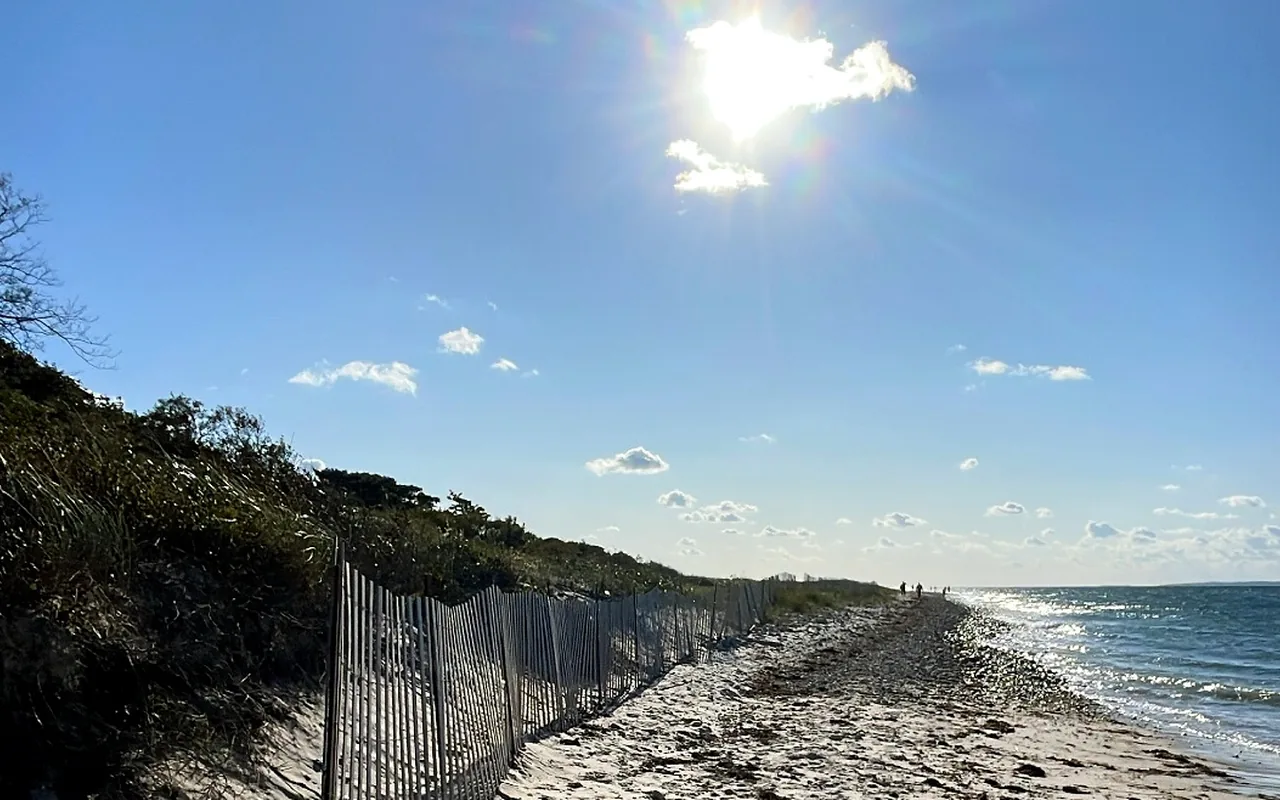
A beach at West Chop on a bright afternoon, a snow fence holding the dune.
Vineyard Haven · sunsetPhoto by MV Vacation
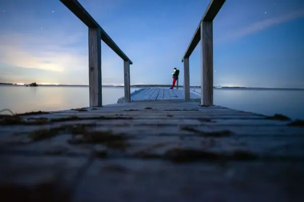
Sunset over the water in Vineyard Haven, one person standing at the edge of the beach.
Getting there
From the ferry, walk or ride north on Main Street. The sidewalk ends after the shops and the rest is the road shoulder, so the quiet hours are the pleasant ones. The 3-mile run from Franklin Street to the light is in our Vineyard Haven bike and run guide, and the same route on foot is in the walking tour guide. Owen Park, back in town, faces east across the harbor and is the morning counterpart. For the rest of the island’s evening spots, East Chop across the harbor is the closest, and our sunset guide ranks them all.
West Chop Lighthouse, Main Street, Vineyard Haven, MA 02568Google Maps
Frequently asked questions
Can I visit the West Chop Lighthouse?
Only from the road. The grounds are Coast Guard housing and the tower is not open, unlike the island’s other four lights.
Where do I park?
A few street-side spots near the West Chop tennis courts on Franklin Street, and a small lot for two or three cars at the West Chop Woods off Franklin Street. Most people walk or ride the 2 miles from downtown.
Which way does the sunset go?
Over Vineyard Sound, with the Elizabeth Islands low on the horizon and usually a ferry somewhere in the frame. Stay a few minutes after the sun is down for the afterglow.
How we checked: the video and the photographs are ours, from several evenings at West Chop across the seasons. The lighthouse, the woods and the parking notes come from our Vineyard Haven town guide, which cites the Sheriff’s Meadow Foundation and the town’s own listings; the resort-era history is from local accounts. Last checked November 1, 2026.
From MV Vacation, written on Martha’s Vineyard · https://mvvacation.com/blog/west-chop-sunset-marthas-vineyard · printed . Hours, prices and schedules change; the page online is the current one.
Four free downloads · 2026 editions
Four island guides, in your inbox
The Beach Guide (all 20 beaches decoded), The Vineyard in the Fall, the season date by date, Where to Stay, every town and price band, and What It Really Costs, the 2026 budget line by line. All four PDFs free, plus a short island letter when there is something worth telling. No schedule, no spam.
No spam, unsubscribe in one click. Want a look first? See what you get.
First email ever from us? Give it a minute, and peek in spam once.
Disclaimer: The information in this article is provided for general guidance only and was accurate at the time of writing. Beach conditions, hours, prices, lifeguard schedules, ferry fares, and business operations change frequently and without notice. Ocean swimming carries inherent risks including rip currents, undertow, and cold water shock. Always verify current conditions with official local sources before your visit. MV Vacation assumes no responsibility for any loss, injury, or inconvenience resulting from the use of this information. Swim only where lifeguards are on duty, supervise children at all times near water, and follow all posted safety signs.
A guide to Martha's Vineyard, written on the island: beaches, dining, events and island living. We write down what we know about the island so your trip goes the way you hoped. How we check our facts.
Stargazing on Martha's Vineyard: how dark the island really is (the town lighting bylaws, no official rating), the best moonless nights and Milky Way windows, meteor shower dates 2026–2027 with moon phases, the Chilmark library telescope loan, Felix Neck's moonrise paddle, and what works for night photography with a phone or camera.
Joshua Slocum, first to sail alone around the world, spent his last years farming in West Tisbury and vanished from Vineyard Haven harbor in November 1909. The voyage, the farm called Fag End, the last departure, and what a visitor can actually see: the harbor, a marker stone by a country road, the museum's Slocum papers, and the book itself.
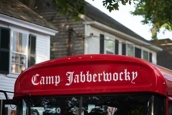
The red bus that gets the loudest cheer in the Edgartown Fourth of July parade belongs to Camp Jabberwocky, a tuition-free summer camp for people with disabilities that has run on the Vineyard since 1953. An islander's account of where it came from and what it is. For anything official, the camp's own site is the source.
Martha's Vineyard after dark: where the full moon rises out of the ocean, the darkest spots for stars (Aquinnah, Lobsterville, South Beach), full-moon and meteor dates through 2027, the honest word on bioluminescence in the ponds, the three towns after the shops close, and the practical side of deer, dark roads, parking lots and night swimming.
Where to photograph Martha's Vineyard, by subject and by light: the five lighthouses and their best hours, the working harbors, the ferries, the gingerbread cottages, the Aquinnah cliffs and the rules that protect them, the up-island stone walls, the Jaws bridge, Mytoi and Menemsha Hills, seasons and weather, and the drone, cliff and private-beach rules, illustrated with our own photographs.
Lake Tashmoo in Vineyard Haven hides a century of stories: the 1887 waterworks that watered the town, a golf course where a bull was a hazard, town baseball and the frozen winters when islanders raced ice boats.
Island tip of the dayFerryNo. 2 of 79New tip at midnight, island time
Walk-on passengers never need a reservation on SSA ferries. $11 one-way: buy at the terminal or via the SSA eFerry mobile site. On peak summer weekends, arrive 30 minutes early to guarantee your seat.
Useful?
More on
Subscribe
The free island library · 2026
One short island letter, and all four guides to start
Beach reports, events worth a day, ferry heads-ups. Sent when there is something worth telling. The Beach Guide, The Vineyard in the Fall, Where to Stay and What It Really Costs arrive with your welcome email.
The Beach Guide, The Vineyard in the Fall, Where to Stay and What It Really Costs. No spam, one-click unsubscribe.
We use cookies for trip planning, site stats and ads, including ads based on your browsing. To opt out, turn on Global Privacy Control in your browser. Cookie policy
These cookies are essential for the website to function properly.
These cookies help us understand how visitors interact with the website.
These cookies are used to deliver personalized advertisements.