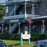
Four bike rides and a run around Vineyard Haven, Martha's Vineyard, filmed from the handlebars: a loop around town, Franklin and Main Street, the path to Edgartown both ways, Beach Road to Oak Bluffs, and the run to West Chop, with rentals, a map and how to get there.
By MV VacationUpdated Nov 10, 2026Facts checked Nov 1, 2026 · 1 tracked19 min read
Vineyard Haven is the easiest town on Martha's Vineyard to ride a bike in. The ferry lands you a short walk from a rental shop, the streets behind Main Street are quiet and mostly flat, and the island's paved path to Edgartown starts at the top of the hill. The one awkward stretch is the road to Oak Bluffs, which still has no separate path, and this guide shows you that part too.
We filmed four rides here over several years and, in October 2026, a fifth one on a rented e-bike. The run out to West Chop was filmed by MrFelix. They are gathered below in the order you would meet them coming off the boat, with the distances we know, what you pass and where the traffic is. Our island cycling guide covers the whole path network and every rental shop; this page is the Vineyard Haven end of it.
The first video is a casual loop filmed from the handlebars: out of the ferry lot, through the residential streets behind the harbor with extra time on Franklin Street, past the Vineyard Haven Yacht Club and the working boatyards, then out along Beach Road toward Oak Bluffs. It covers roughly 4 miles on mostly flat ground. The in-town part is the easy, family-friendly ride. The Beach Road leg has summer traffic and no separated path, so families with young children may prefer to turn around at the drawbridge.
Filmed June 2023The island moves on: shops, signs and prices may differ from what you see here. The text of this guide was checked November 2026.
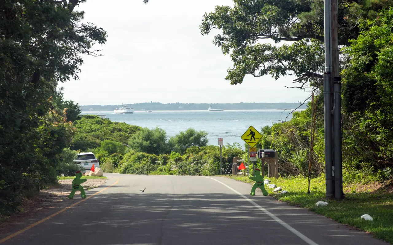
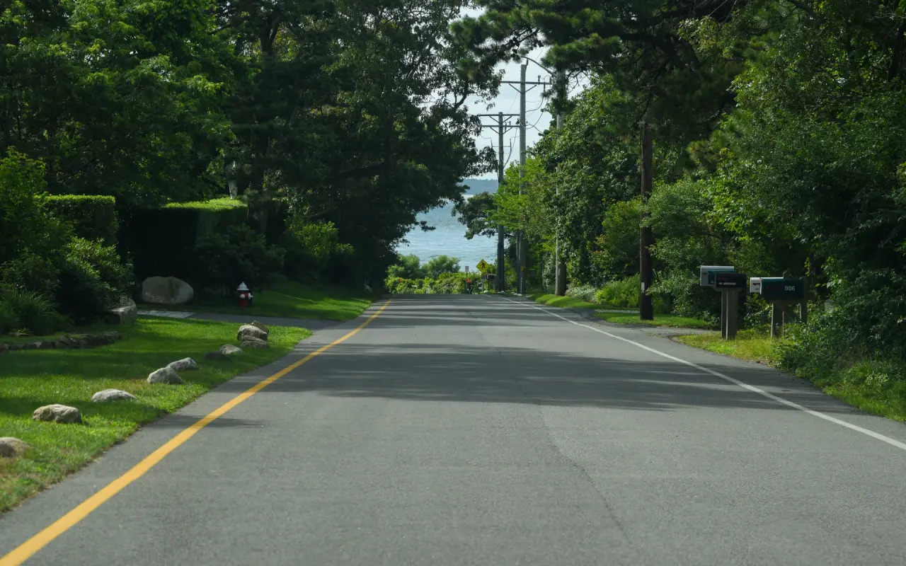
Down to the water · by bikePhoto by MV Vacation
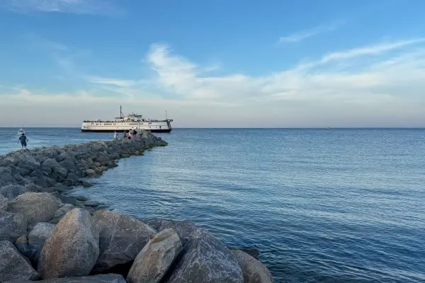
A road sloping down toward the water in summer, a ferry out on the Sound.
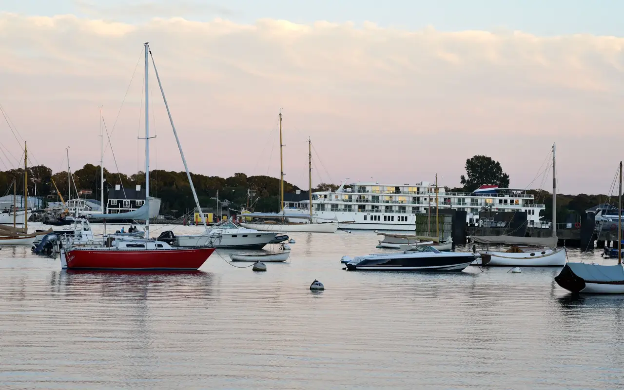
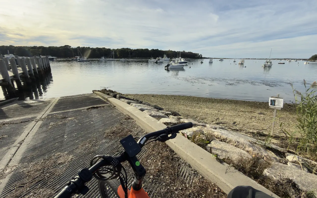
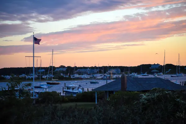
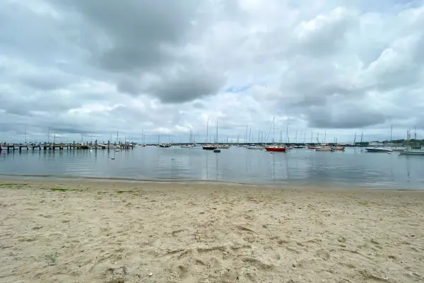
Vineyard Haven · harborPhoto by MV Vacation
Boats on their moorings in Vineyard Haven Harbor.
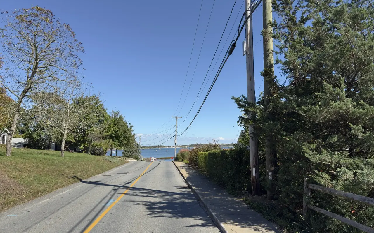
Vineyard Haven · toward Lagoon PondPhoto by MV Vacation
A side road near the museum dropping down to Lagoon Pond on an October day, the water showing at the bottom of the hill.
Two side trips fit this loop. The Lake Street landing on Lake Tashmoo is about 2 miles from the ferry terminal, down a quiet road to the town boat ramp and the mooring field. On the other side of town, near the museum, a side road drops down to Lagoon Pond. Our mid-ride stop is the Black Dog Bakery Cafe on State Road, which is open every month of the year. Our video below rides Skiff Avenue, a quiet residential street on the Lagoon Pond side of town.
Filmed May 2026
Lake Tashmoo · by e-bikePhoto by MV Vacation
A stop at the Lake Street landing on Lake Tashmoo, about 2 miles from the ferry terminal.
Vineyard Haven · the bakery stopPhoto by MV Vacation
Inside the Black Dog Bakery Cafe, the counter and the drinks case: the mid-ride stop.
Franklin Street and Main Street
The second ride stays on two streets you will walk anyway. Franklin Street runs through the residential blocks above the harbor and is one of the prettiest streets in town, with glimpses of the water between the old houses. Main Street is the shopping street, with a sidewalk the whole way and summer traffic that moves at walking pace. The video shows the town at street level, which is a fair idea of the place before a trip and a nice way to see it again after one.
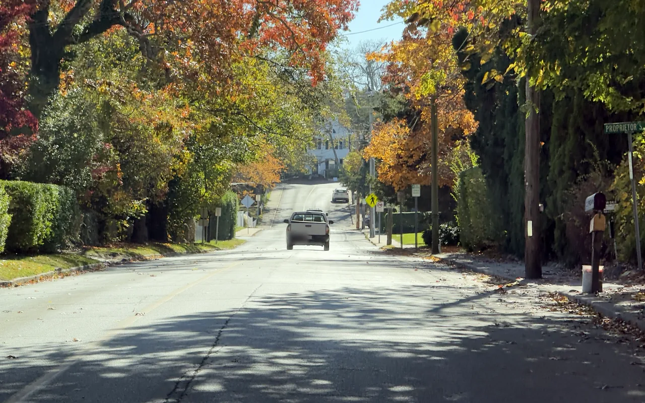
Vineyard Haven · Franklin StreetPhoto by MV Vacation
Franklin Street in the fall, with orange and gold trees on both sides of the road.
Filmed June 2023The island moves on: shops, signs and prices may differ from what you see here. The text of this guide was checked November 2026.
Vineyard Haven · the end of the roadPhoto by MV Vacation
Where the road runs out under the trees and the water opens up ahead.
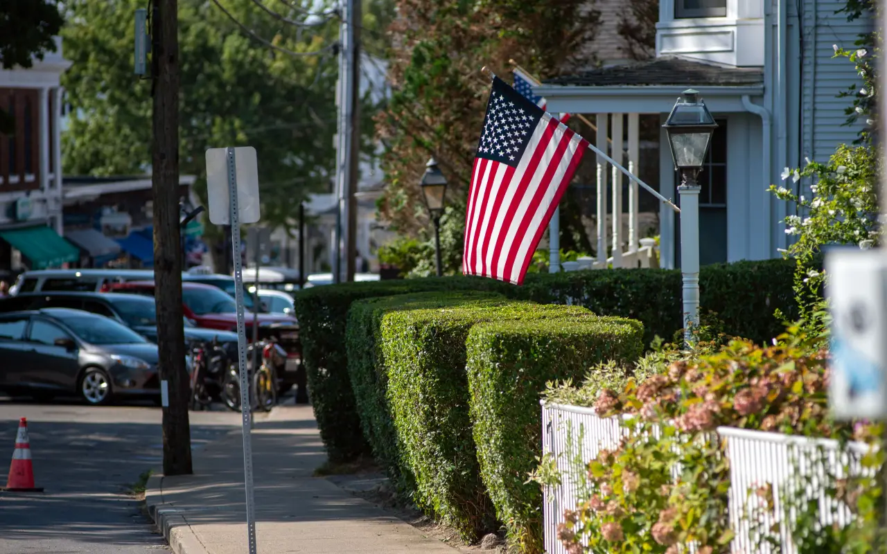
Vineyard Haven · in townPhoto by MV Vacation
A Vineyard Haven street in summer.
Vineyard Haven · Main Street in JunePhoto by MV Vacation
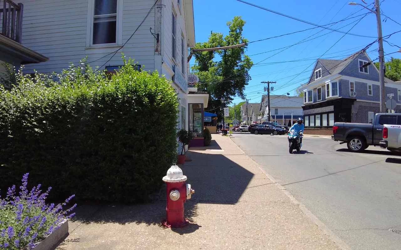
A corner of Main Street in June: lavender by the hedge, a red hydrant on the sidewalk and a scooter heading up the street.
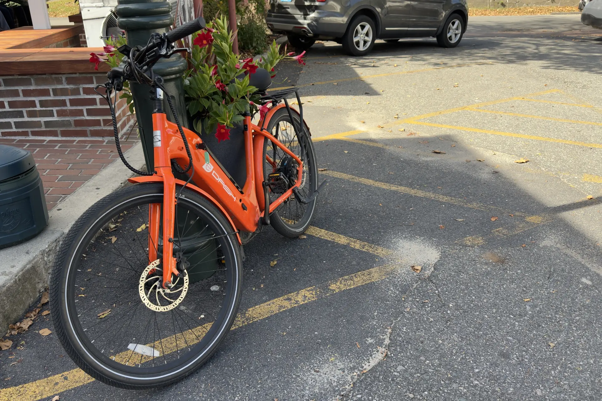
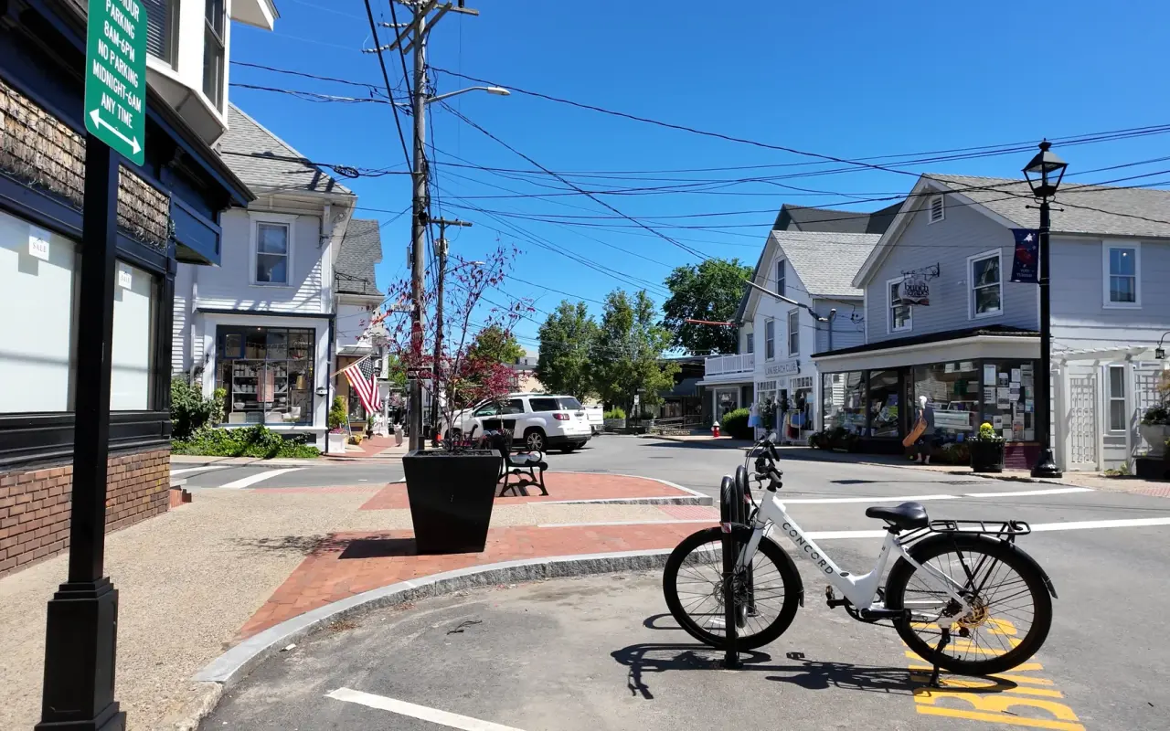
Most shops do not mind a bike leaned outside for a few minutes, and our rented e-bike spent its Main Street stop against a planter. For the shops themselves, our Main Street guide lists them door by door, and the walking tour guide covers the same streets on foot. Our video below is another summer ride through town, from the wide main roads into narrow streets of old houses and picket fences.
Downtown Vineyard Haven on a sunny day, an e-bike parked at the corner.
For beach days · free guide
The Beach Guide
All 20 beaches with parking, stickers, lifeguards and dog rules, plus a one-page card for the beach bag. Free with the island letter, together with three more island guides.
10 pages · Edition 2026 · checked on the island
One-click unsubscribe, and we never share your email.
Edgartown to Vineyard Haven on the path
This is the long one. The paved shared-use path runs about 7 miles beside the Edgartown–Vineyard Haven Road, through scrub oak and pine, with some moderate hills. It is less scenic than the State Beach path, but it is the link between the two towns, and the earlier video rides it the whole way, from Edgartown's streets to the harbor in Vineyard Haven. About 3 miles before Vineyard Haven you pass the Barnes Road traffic circle, where the paved path into the state forest loops begins.
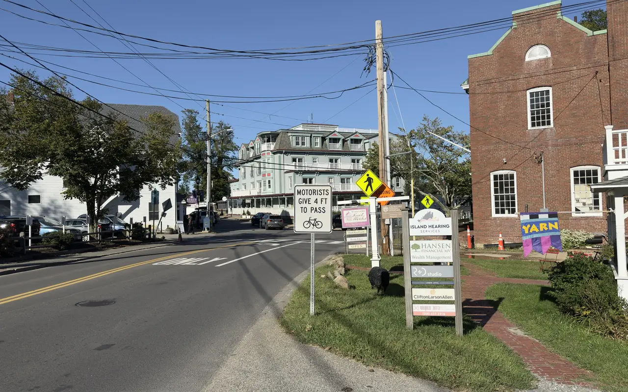
At the Vineyard Haven end the path stops short of town. The last stretch, down State Road and Beach Street to Five Corners, is on the road, and a 2025 road safety study for the Martha's Vineyard Commission found that Five Corners had the most severe crashes of any intersection on the island, so this is the one place on the ride to take slowly. The Give 4 Ft to Pass sign on State Road, a block from the ferry, reflects a state law in force since 2023.
Filmed July 2023The island moves on: shops, signs and prices may differ from what you see here. The text of this guide was checked November 2026.
On the path · OctoberPhoto by MV Vacation
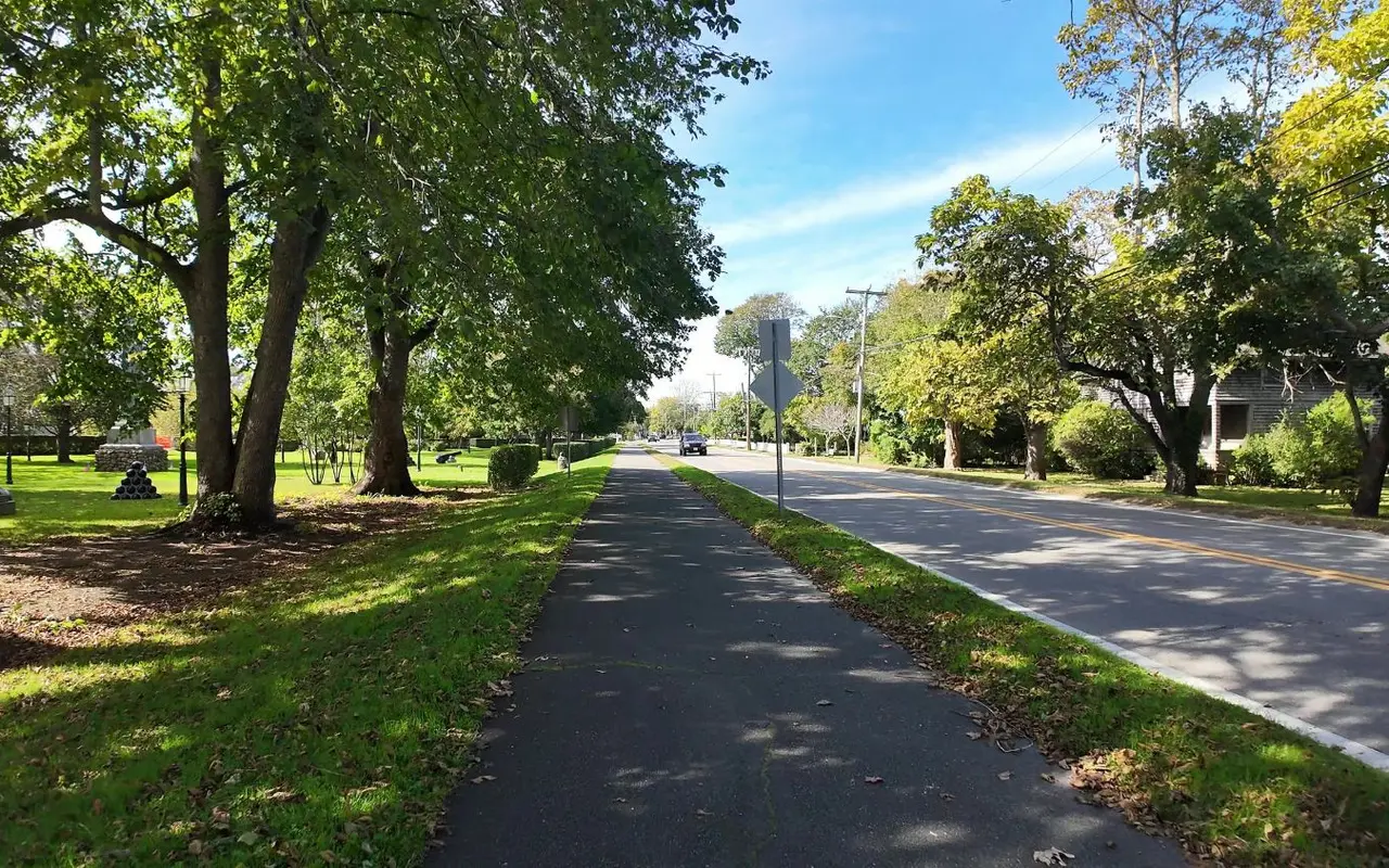
The paved path beside the road, past a small park with old cannons on the grass, in October.
Edgartown · the historic districtPhoto by MV Vacation
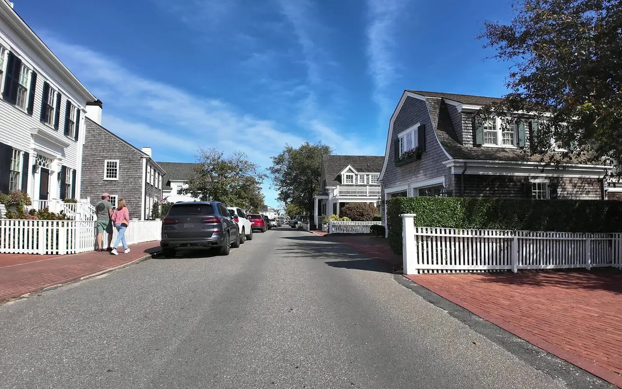
Riding through the old village in October: white and shingled houses, brick sidewalks and picket fences.
Mid-island · the airport turnPhoto by MV Vacation
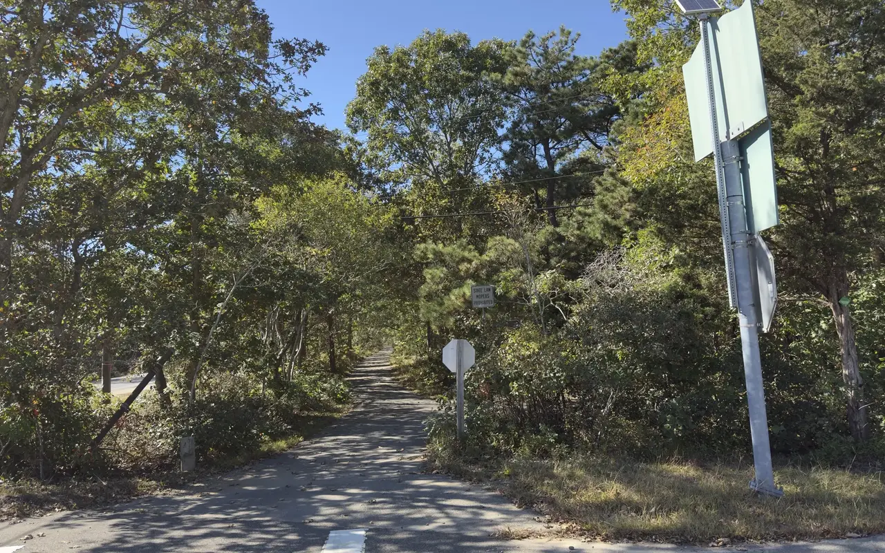
The bike path where it crosses the turn for the airport, looking toward the airport and West Tisbury. There is a stop sign at the crossing, and the small sign behind it reads State Law, Mopeds Prohibited.
In October 2026 we rode the same route the other way, from Vineyard Haven to Edgartown, on a rented e-bike. That video is here as well, since the hills feel different with a motor and the path looks different with the summer crowds gone.
Filmed October 2026
Vineyard HavenPhoto by MV Vacation
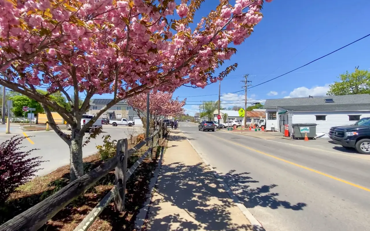
Coming into Vineyard Haven in spring, the trees along the road in bloom.
Vineyard Haven · journey’s endPhoto by MV Vacation
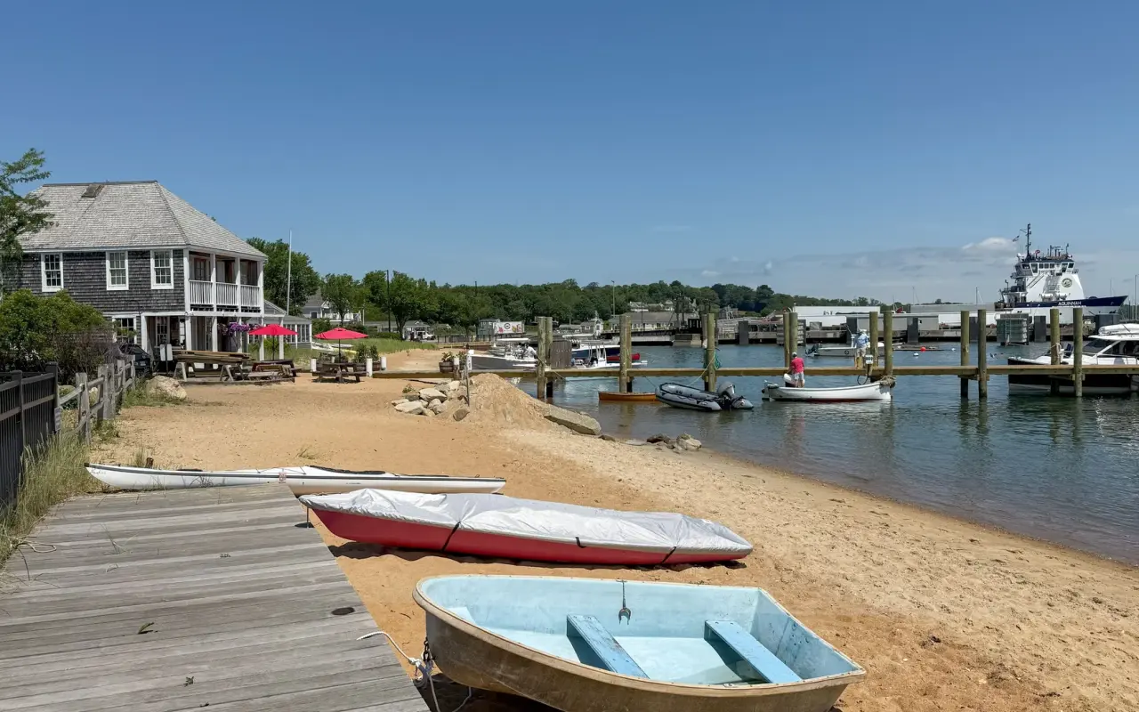
Dinghies pulled up by the pier at the Vineyard Haven end of the ride.
Vineyard Haven · State Road by EducompPhoto by MV Vacation
The Give 4 Ft to Pass sign on State Road in Vineyard Haven, looking toward the Mansion House on Main Street, a block from the ferry. The brick building on the right is Educomp, with Brickman’s across the street. The four-foot rule has been Massachusetts law since April 2023; the signs went up on the island roads where cyclists and ferry traffic share the pavement.
Toward Oak Bluffs: the drawbridge and the gap
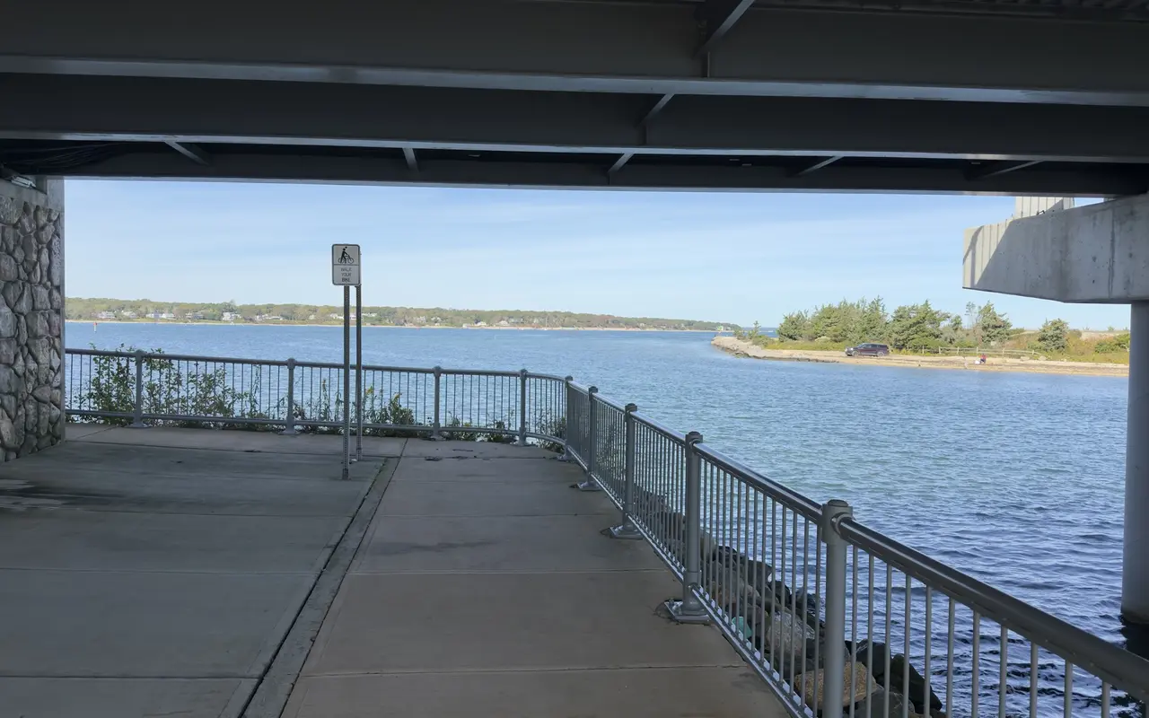
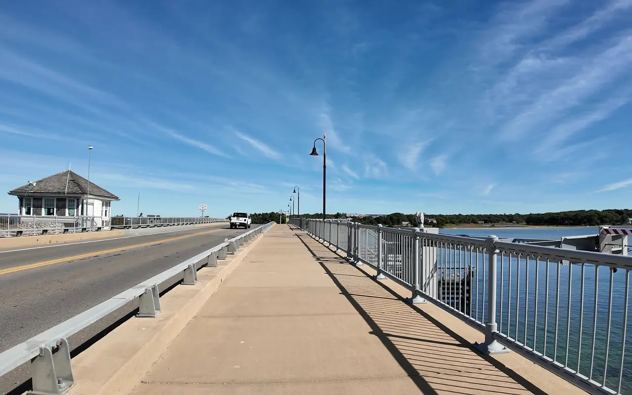
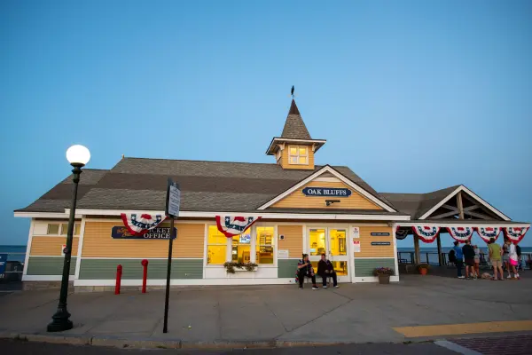
The ride most visitors want, Vineyard Haven to Oak Bluffs, is the one the island has not finished. There is still no continuous separated path between the two towns, and the roughly 3-mile ride along Beach Road is busy with traffic in summer. The Vineyard Haven end has improved: painted bike lanes lead from Five Corners to a shared-use path about half a mile east, and the Lagoon Pond drawbridge has a wide sidewalk on top and a walkway underneath, with a sign asking cyclists to walk their bikes there. Past the bridge you are back on the road shoulder into Oak Bluffs, where the East Chop Drive detour adds about a mile and swaps the traffic for water views.
The video rides Beach Road out of Vineyard Haven and over the drawbridge. It is the honest view: cars, sand on the shoulder, then the bridge and the pond opening up on both sides.
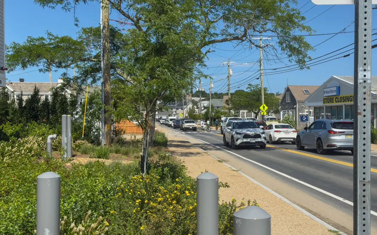
Summer traffic stacking up on Beach Road in Vineyard Haven. A steady line of cars is normal on a summer day.
Vineyard Haven · under the drawbridgePhoto by MV Vacation
A walkway runs under the drawbridge along the channel, with a sign asking cyclists to walk their bikes.
Beach Road · on the drawbridgePhoto by MV Vacation
On top of the drawbridge: a wide sidewalk with lamp posts on the Lagoon Pond side, and the bridge tender’s shingled house at the Oak Bluffs end.
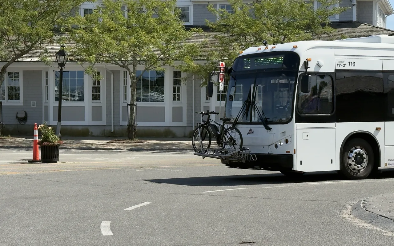
If the traffic puts you off, the bus closes the gap for you. VTA buses carry two or three bikes on the front rack, first come, first served, and are fare-free through June 30, 2027. Ride the bus to Oak Bluffs, take the State Beach path on to Edgartown, and come back on the Edgartown–Vineyard Haven path or on another bus. Our Lagoon Pond Road and Beach Road guide walks this same stretch on foot.
Vineyard Haven · Beach RoadPhoto by MV Vacation
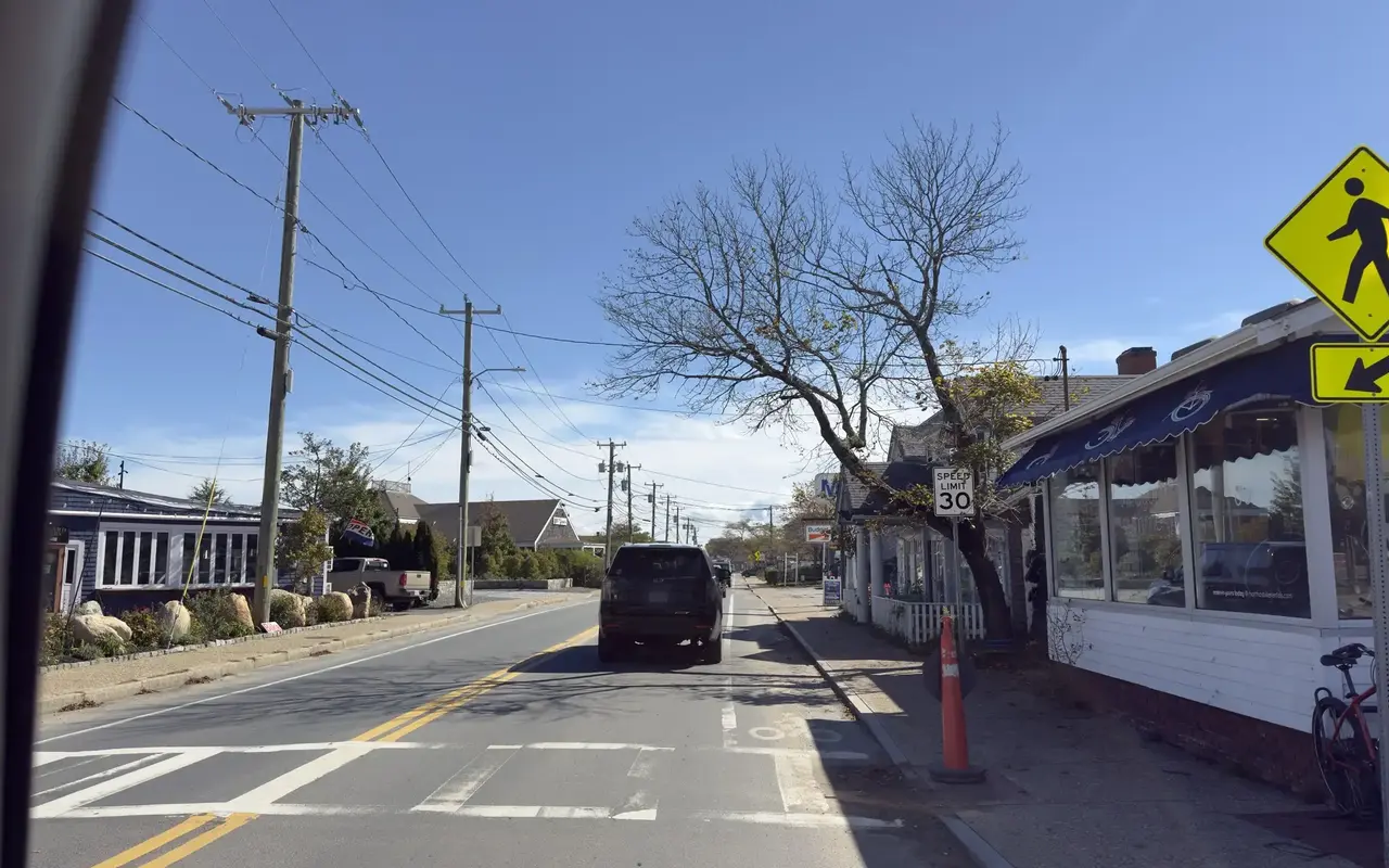
Beach Road in Vineyard Haven in October: the 30 mph sign, a shop awning on the right and the trees already bare.
Martha's VineyardPhoto by MV Vacation
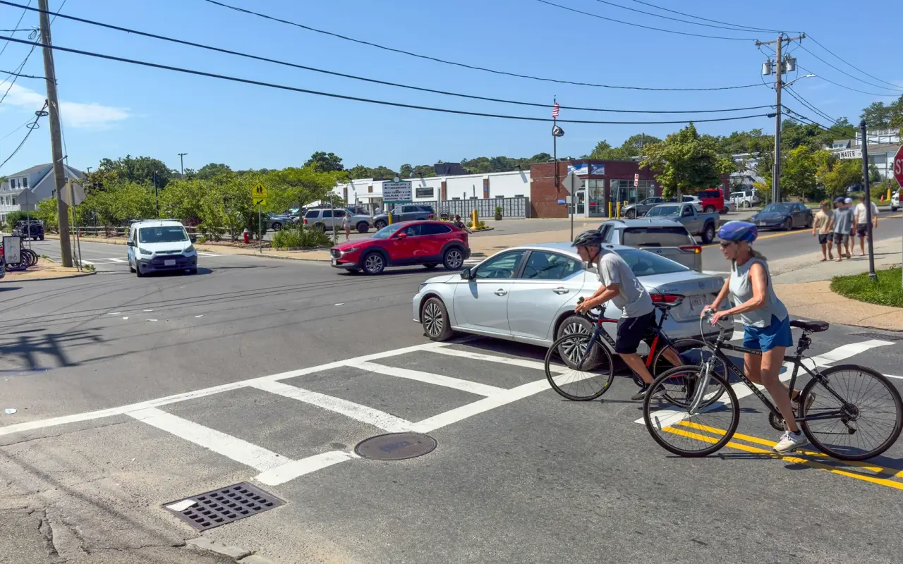
Two cyclists crossing at Five Corners in Vineyard Haven on a summer day.
The run: Franklin Street to West Chop
Runners get a route of their own. This 3-mile out-and-back starts on Franklin Street and heads north along Main Street toward West Chop, mostly flat, with a gentle climb near the West Chop neighborhood. Vineyard Haven Harbor is on your right on the way out, with sailboats and now and then a Steamship Authority ferry crossing the Sound, and you pass sea captains' houses from the 1800s with cedar shingles the salt air has turned silver-gray. It was filmed start to finish by MrFelix on YouTube.
Franklin Street · fallPhoto by MV Vacation
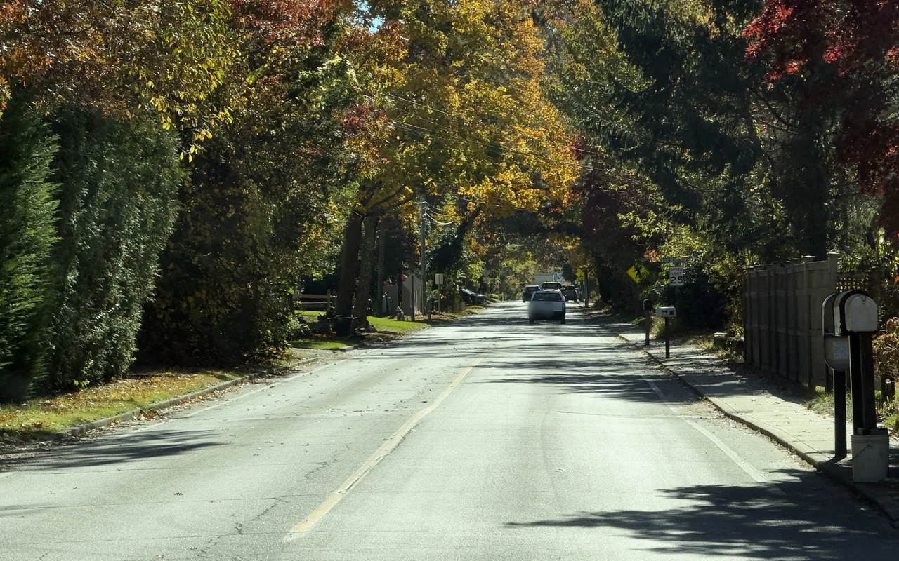
Franklin Street in the fall, yellow, red and green trees meeting over the road. The run to West Chop starts on this street.
The turnaround is West Chop Light, built in 1891 and still active. It is Coast Guard housing and the grounds are closed, so the view is from the road; the overlook nearby, above the Sound, is the place to catch your breath before heading back. Early morning is the coolest time in summer and has the lightest traffic all year. The Main Street sidewalk ends after the shops, so much of the run is on the road shoulder, and we did not see a public fountain along the way, so carrying water helps in summer.
Filmed May 2024The island moves on: shops, signs and prices may differ from what you see here. The text of this guide was checked November 2026.
The beach · a ferry passingPhoto by MV Vacation
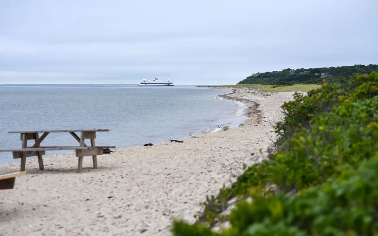
A picnic table on the beach with a ferry passing offshore, near the far end of the run.
Vineyard Haven · West Chop LightPhoto by MV Vacation
West Chop Light over the keeper’s red roof, at the turnaround point of the run.
Vineyard Haven · an overlookPhoto by MV Vacation
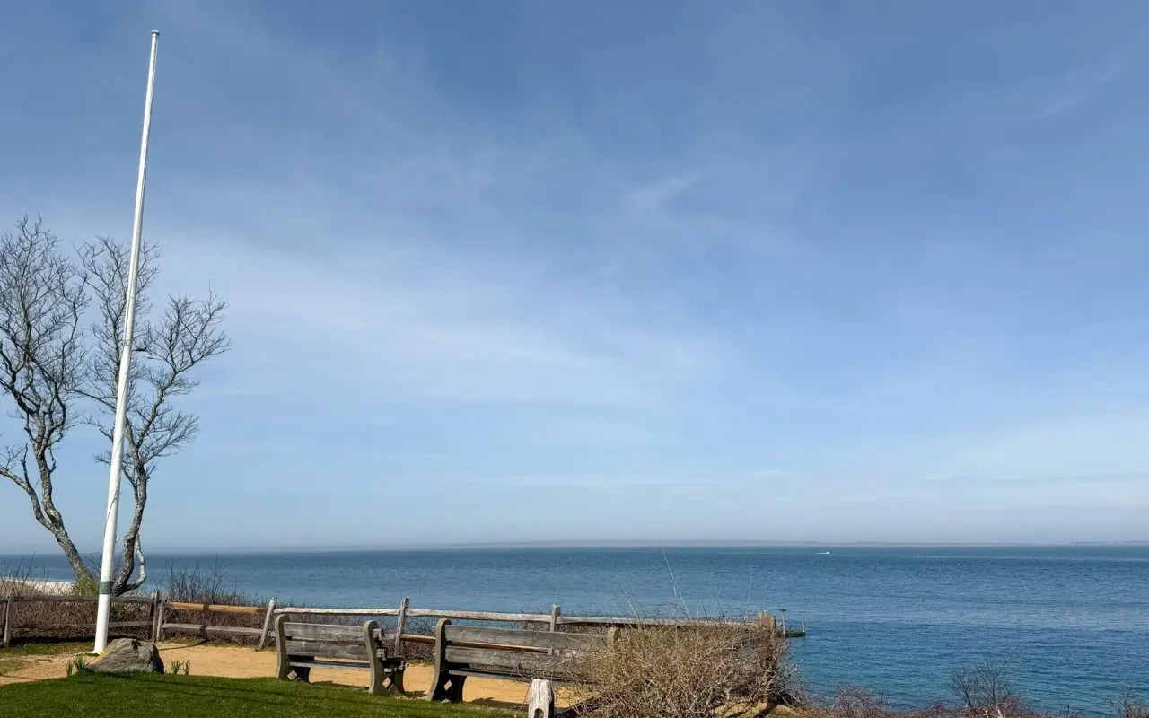
Benches and a flagpole at an overlook on the bluff, the Sound flat and blue below.
Cyclists ride the same road, and on foot it is the West Chop walk in our walking tour guide. At the end of the day the beach below the bluff is one of the quieter places on the island to watch the light go; the West Chop sunset post has the timing.
West Chop · the roadPhoto by MV Vacation
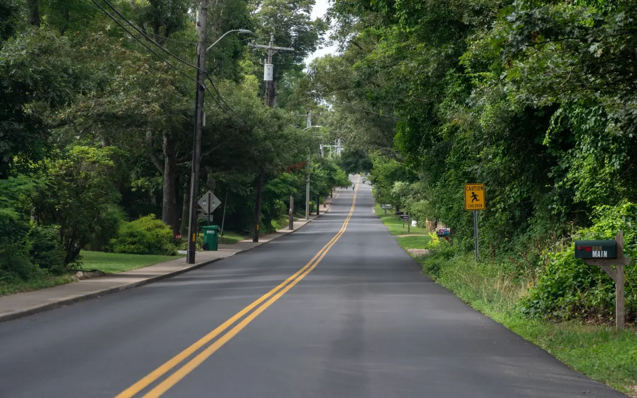
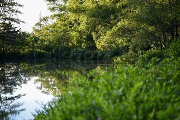
The tree-lined road out to West Chop, double yellow line and no traffic.
West Chop · sunsetPhoto by MV Vacation
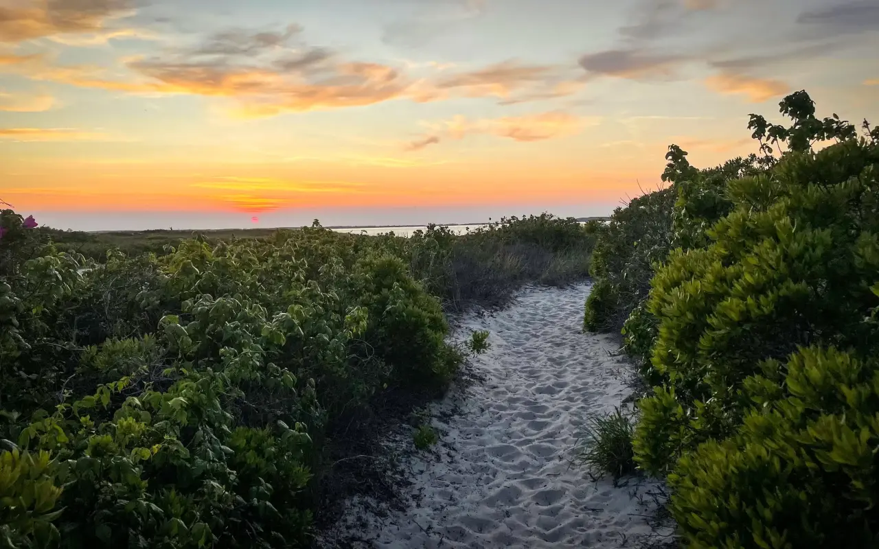
A sandy path through the beach shrubs down to the water at West Chop, the sky going orange after sunset.
Renting a bike in Vineyard Haven
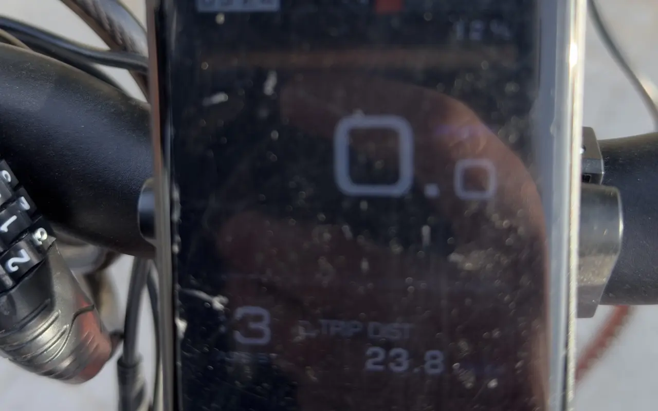
Martha's Bike at 4 Lagoon Pond Road is within walking distance of the Steamship terminal and has rented bikes since 1989: hybrids, mountain bikes, cruisers, kids' bikes, trailers and e-bikes, with delivery anywhere on the island. Cycle Works is on the town of West Tisbury's list of island rental shops; call ahead about rentals and repairs. We rented an e-bike in Vineyard Haven on a Saturday in October 2026 for $85 for the day. It took us the roughly 20 miles to Edgartown and back without trouble; the display read 23.8 miles and 12 percent of battery at the end of the day.
Vineyard Haven · a rental shopPhoto by MV Vacation
A row of rental e-bikes in a Vineyard Haven shop window in October, ready for the day.
Read the rental agreement before you ride off. The one we signed is typical of the island shops: helmet on at all times, no riding after dark, nobody else on the bike, damage up to the bike's full retail value unless you take the optional waiver (about $20 on ours), fees for late returns and roadside pickups, and no refunds. Massachusetts requires helmets for riders 16 and younger, and from half an hour after sunset state law calls for a white front light and a red rear light and reflector.
Vineyard HavenPhoto by MV Vacation
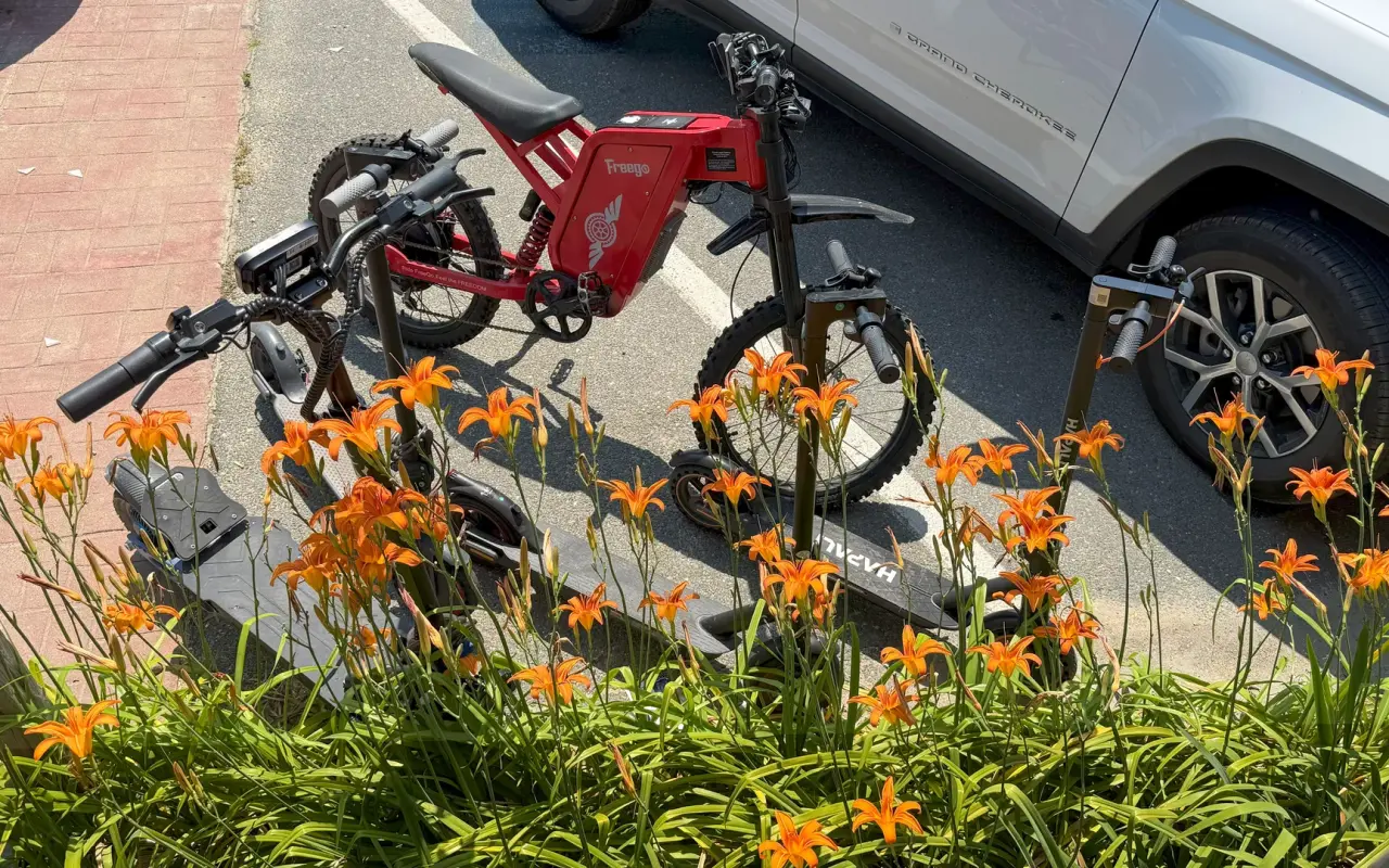
A red e-bike and two electric scooters in a rack behind a bed of orange daylilies in Vineyard Haven.
On the road · the e-bike displayPhoto by MV Vacation
The display on our e-bike at the end of one day of riding: 23.8 miles on the trip counter, with 12 percent of the battery left.
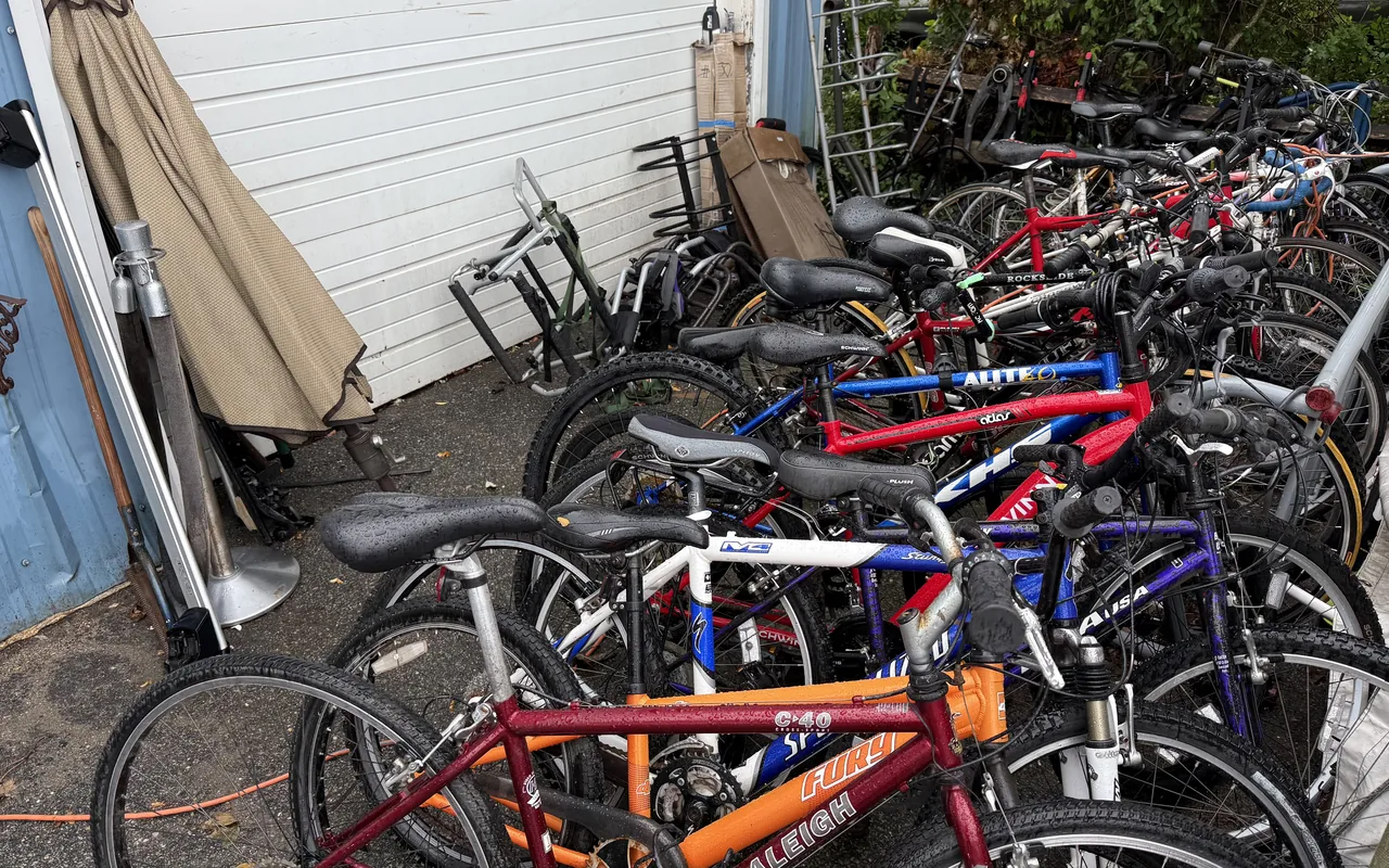
For a long stay, the Chicken Alley Thrift Shop usually has second-hand bikes for sale outside, at a fraction of a season of rental fees; check the brakes before you buy. Bringing your own over is easy too: on the Steamship Authority a bike needs no reservation, travels space-available, and cost $5.25 each way in 2026. And if your legs give out anywhere on the island, the VTA front rack brings you and the bike home.
Vineyard Haven · Chicken AlleyPhoto by MV Vacation
Used bikes at the Thrift Shop on Chicken Alley in Vineyard Haven. This is where most of the summer’s commuter bikes come from, and where they go back in August.
Vineyard Haven · the Steamship terminalPhoto by MV Vacation
A VTA bus at the Steamship terminal in Vineyard Haven, with a bike loaded on the rack folded down at the front.
Getting there and getting around
Every ride here starts at the Steamship Authority terminal, where the year-round ferries from Woods Hole land; our ferry guide has the schedules and the next boat. If you come with a car and want to ride from town, the Tisbury Park and Ride on High Point Lane is free for stays of up to three days, with a fare-free bus into the center. Street parking in the center is free but time-limited and tight in summer. The parking guide has the lots and the rules.
Vineyard Haven, MA 02568Google Maps
Frequently asked questions
Is there a bike path from Vineyard Haven to Oak Bluffs?
Not a continuous one yet. Painted lanes run from Five Corners to a short shared-use path, the drawbridge has a sidewalk and a walkway underneath, and the rest of the roughly 3 miles is on Beach Road with the traffic. The VTA bus carries bikes on its front rack if you would rather skip that stretch.
Is there a bike path from Vineyard Haven to Edgartown?
Yes. The paved path runs about 7 miles beside the Edgartown–Vineyard Haven Road, with some moderate hills. The last stretch into Vineyard Haven, down State Road and Beach Street to Five Corners, is on the road.
Can children ride here?
The residential streets and the in-town part of the loop in the first video suit children who ride confidently. Beach Road to Oak Bluffs does not. For a long, car-free ride with kids, the State Beach path between Oak Bluffs and Edgartown and the state forest loops are the easy choices, and the fare-free bus with its bike rack gets you to either one.
How long is the run to West Chop?
About 3 miles out and back from Franklin Street. On foot the same way to the lighthouse takes about 40 minutes each way.
How we checked: the videos were filmed by MV Vacation in and around Vineyard Haven over several years, most recently in October 2026, except the West Chop run, which was filmed by MrFelix; all are on our YouTube channel. Path lengths, the Beach Road lanes, the Five Corners finding and the four-foot passing law are from the sources cited in our island cycling guide (the Martha's Vineyard Commission's shared-use path planning page, MassDOT's 2025 Beach Road study and the 2025 road safety study). Rental details are from the shops' own listings and the agreement we signed in October 2026; the ferry bike fare and the VTA rack rule are from the Steamship Authority and VTA sites. Last checked November 1, 2026.
From MV Vacation, written on Martha’s Vineyard · https://mvvacation.com/blog/bicycle-ride-around-vineyard-haven · printed . Hours, prices and schedules change; the page online is the current one.
Four free downloads · 2026 editions
Four island guides, in your inbox
The Beach Guide (all 20 beaches decoded), The Vineyard in the Fall, the season date by date, Where to Stay, every town and price band, and What It Really Costs, the 2026 budget line by line. All four PDFs free, plus a short island letter when there is something worth telling. No schedule, no spam.
No spam, unsubscribe in one click. Want a look first? See what you get.
First email ever from us? Give it a minute, and peek in spam once.
Disclaimer: The information in this article is provided for general guidance only and was accurate at the time of writing. Beach conditions, hours, prices, lifeguard schedules, ferry fares, and business operations change frequently and without notice. Ocean swimming carries inherent risks including rip currents, undertow, and cold water shock. Always verify current conditions with official local sources before your visit. MV Vacation assumes no responsibility for any loss, injury, or inconvenience resulting from the use of this information. Swim only where lifeguards are on duty, supervise children at all times near water, and follow all posted safety signs.
A guide to Martha's Vineyard, written on the island: beaches, dining, events and island living. We write down what we know about the island so your trip goes the way you hoped. How we check our facts.
Joshua Slocum, first to sail alone around the world, spent his last years farming in West Tisbury and vanished from Vineyard Haven harbor in November 1909. The voyage, the farm called Fag End, the last departure, and what a visitor can actually see: the harbor, a marker stone by a country road, the museum's Slocum papers, and the book itself.
The red bus that gets the loudest cheer in the Edgartown Fourth of July parade belongs to Camp Jabberwocky, a tuition-free summer camp for people with disabilities that has run on the Vineyard since 1953. An islander's account of where it came from and what it is. For anything official, the camp's own site is the source.
Lake Tashmoo in Vineyard Haven hides a century of stories: the 1887 waterworks that watered the town, a golf course where a bull was a hazard, town baseball and the frozen winters when islanders raced ice boats.
Cycling Martha's Vineyard in 2026: about 38 miles of bike paths, 5 routes from easy family rides to the 60-mile island loop, rental prices, and e-bike rules.
A bicycle ride through the wooded hills around Menemsha on video, with what it does not show: the Trustees' Menemsha Hills Reservation bans bikes on its trails, so this page covers the hike to Prospect Hill, the up-island roads where you can ride (North Road, Middle Road, the State Forest), safety on narrow roads, and the bus.
Island tip of the dayFerryNo. 2 of 79New tip at midnight, island time
Walk-on passengers never need a reservation on SSA ferries. $11 one-way: buy at the terminal or via the SSA eFerry mobile site. On peak summer weekends, arrive 30 minutes early to guarantee your seat.
Useful?
More on
Subscribe
The free island library · 2026
One short island letter, and all four guides to start
Beach reports, events worth a day, ferry heads-ups. Sent when there is something worth telling. The Beach Guide, The Vineyard in the Fall, Where to Stay and What It Really Costs arrive with your welcome email.
The Beach Guide, The Vineyard in the Fall, Where to Stay and What It Really Costs. No spam, one-click unsubscribe.
We use cookies for trip planning, site stats and ads, including ads based on your browsing. To opt out, turn on Global Privacy Control in your browser. Cookie policy
These cookies are essential for the website to function properly.
These cookies help us understand how visitors interact with the website.
These cookies are used to deliver personalized advertisements.