Travel advisorySteamship Authority travel advisory · Gale Warning on the ferry waters until Fri 2 PMGusty winds are forecast for Cape Cod and the Islands that will have the potential to cause cancellations on both the Hyannis-Nantucket and Woods Hole-Martha's Vineyard routes through Thursday. We are waiving change and cancellation fees for travel scheduled for Tuesday, October 20, through Thursday, October 22.Steamship Authority · checked 12:30 AM ET
A sandy path through beach roses down to calm water. Sengekontacket is a good first pond: protected, shallow and full of birds, with a launch off Beach Road.
Complete kayak guide to Martha's Vineyard: 10 launch sites, 10 routes, 5 rental operators, shark safety, tidal current warnings and scalloping tips.
Safety Warning
Kayaking can be dangerous. Martha's Vineyard waters include great white sharks, strong tidal currents, cold water that can cause hypothermia, and heavy ferry traffic. Always wear a PFD, check conditions before launching, never paddle alone in open water, and dress for the water temperature, not the air. This guide is for informational purposes only and does not replace professional instruction or local knowledge.
Martha's Vineyard is a very good place to kayak, and most visitors never find out. While the beaches fill up and the ferries run standing-room-only, the island's ponds, harbors and protected bays stay mostly uncrowded. The island is ringed by 27 saltwater and brackish ponds, ospreys nest on pond after pond, and the water is clear enough to watch horseshoe crabs crossing the sandy bottom.
The best time to visit guide covers the seasons; September is a particularly good month for kayaking here.
The water here can be hard on unprepared paddlers, and the hazards are specific. They're worth knowing before you get in a boat.
Filmed September 2025
Great white sharks
Since 2018, confirmed great white shark sightings near Martha's Vineyard and the Cape and Islands have increased significantly, driven by the recovering gray seal population. Seals are the primary prey. Areas with seal haul-outs or lots of seals are best avoided, particularly around Vineyard Sound, the south shore, and areas near Chappaquiddick in fall months. The free Sharktivity app from the Atlantic White Shark Conservancy reports sightings in real time and is worth checking the morning of any paddle. If a seal shows up near your kayak, the thing to do is move away calmly and quickly, since a kayak can look like a seal from below.
Tidal currents
The island's shape creates strong tidal currents in a few places. Devil's Bridge (off the Aquinnah cliffs) runs about 1.6 knots at peak ebb or flood (West Chop, by comparison, can hit 3.5), and the rips over the shallow ledge are enough to overpower and capsize a paddler. Muskeget Channel (between Chappaquiddick and Nantucket) reaches 5 knots and is for experts only. Edgartown Harbor has a steady current through its narrow channel and is complicated by heavy ferry and motorboat traffic. The protected ponds are largely current-free, but any outlet to the ocean or a harbor is worth checking against a tide chart first. Free tide charts are at NOAA Tides and Currents.
Cold water and hypothermia
The real swimming season on Martha's Vineyard runs July through September only, when the Sound side runs from the high 60s to the mid 70s. Outside those months, water temperatures are cold enough to incapacitate a swimmer within minutes. The 1-10-1 rule sums it up: 1 minute of cold shock upon immersion (gasping, panic), 10 minutes of meaningful swimming ability before muscles fail, and 1 hour before unconsciousness from hypothermia. The rule of thumb is to dress for the water temperature, not the air temperature. In May, June or October that means a wetsuit, however warm the air feels. A 65°F day with 50°F water turns dangerous fast if you capsize.
Wind
Martha's Vineyard is exposed to the Atlantic, and afternoon southwest winds are a predictable pattern from late spring through early fall. Winds that start at 5–8 knots in the morning routinely build to 15–20 knots by early afternoon. Mornings are the time to paddle: launching by 8 or 9AM and getting off exposed water by noon avoids most of it. Open bays like Katama and the exposed ponds on the south shore are significantly affected. For wind forecasts, Windy.com and the National Weather Service marine forecast are both good.
Boat traffic
Ferries run all day in Vineyard Haven year-round and in Oak Bluffs from spring to late October, and the Chappy ferry crosses Edgartown harbor all year. A kayak is nearly invisible to a ferry or large powerboat captain. Before crossing a ferry lane, make sure the channel is clear; bright colors and a signal flag, if you have one, help you get seen. The inner approaches to Vineyard Haven Harbor and the Oak Bluffs ferry slip are best left alone at peak hours.
Required gear (Massachusetts law)
PFD (life jacket): Required to have on board at all times; required to WEAR from September 15 through May 15. Children under 12 have to wear one at all times. Wearing it all the time is the safer habit.
Sound-producing device: A whistle meets the requirement and costs little.
White light: Required for paddling after dark or in low-visibility conditions.
Registration: Massachusetts registers motorboats only; paddle-powered kayaks and SUPs need no registration. Rules and safety requirements are at mass.gov/environmental-police.
For beach days
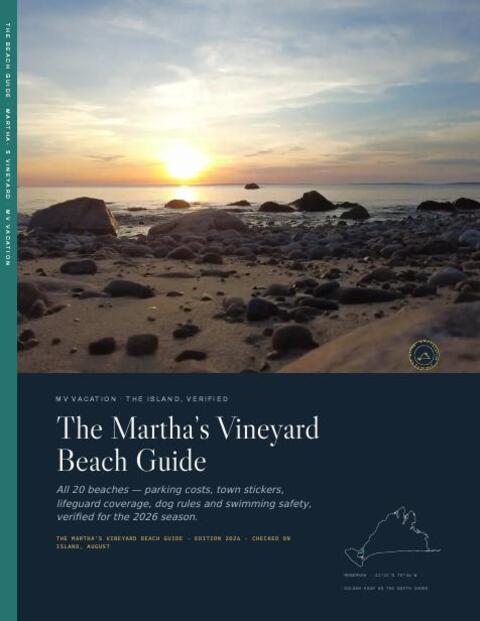
The Beach Guide, free
All 20 beaches with parking, stickers, lifeguards and dog rules, plus a one-page card for the beach bag. Free with the island letter, together with three more island guides.
One-click unsubscribe, and we never share your email.
Paddling spots on the east side
Sengekontacket Pond
This is the easiest place on the island to start. At about 690 acres, Sengekontacket is calm, warm in summer, and ringed with osprey nests and egrets. The pond sits between the Oak Bluffs and Edgartown town lines, separated from Nantucket Sound by a narrow barrier beach (Joseph Sylvia State Beach, also called the Beach Road). Island Spirit Kayak operates directly on the pond. From June to Labor Day you can rent and launch in minutes; in spring and fall they work by reservation, so call ahead. The bridge on Beach Road is a good landmark and natural turnaround point. Osprey nests sit on the channel markers, and you can spot the remains of cedar fish weirs along the shore. The pond is shallow enough that wading is possible almost everywhere if you tip over.
Felix Neck Wildlife Sanctuary
Mass Audubon's Felix Neck sanctuary sits on a peninsula jutting into Sengekontacket Pond, with kayak access to protected coves and naturalist-led tours. Guided kayak tours run about $45–78 per person depending on the tour (family, sunset or moonrise; member vs non-member), and self-guided rentals are $50–60 per boat; all are led or set up by Audubon naturalists who know the birds, fish and plants along the route. Solo rentals are also available. The guided tours are worth the price for how much you learn about the pond, and they fill up in July and August. Our night guide lists the full-moon dates through 2027.
Poucha Pond / Chappaquiddick
The ferry to Chappaquiddick runs continuously from Edgartown (the crossing takes barely a minute; fares are charged per passenger and vehicle, so ask about boats when boarding) and drops you at the edge of one of the island's least-crowded paddling spots. Poucha Pond connects to Cape Poge Bay, and the Trustees of Reservations have offered seasonal rentals here in past years (around $25/hour); call the Trustees to confirm the program is running before you cross. The route to Cape Poge Lighthouse takes intermediate paddlers through a tidal gut that requires tide awareness and you will have the water to yourself. Osprey, terns, and harbor seals are regular sights. When the wind is up, the outer Cape Poge area is best skipped, since the water opens up quickly once you leave the pond.
Edgartown Great Pond
At about 840 acres in the Martha's Vineyard Commission's pond inventory (the surface area varies with seasonal cuts to the ocean), Edgartown Great Pond is one of the best long-distance paddles on the island. It has coves and arms to explore. The put-in is the town landing on Turkeyland Neck, reached by a dirt road off Meetinghouse Way. Seeing all of it takes 4–6 hours, so lunch comes along. The south end of the pond occasionally opens to the ocean through a temporary cut, creating tidal current. It's worth asking locally before paddling near the south shore.
Katama Bay
At 1,695 acres, Katama Bay is the largest salt pond or bay in the Martha's Vineyard Commission's island pond inventory. It's wind-exposed and flushes with the tide through the Norton Point breach, open since New Year's Day 2026, so it is an intermediate paddle. What you get is the view, the tern colonies and real open water. Launch from the public ramp at Katama Landing (off Katama Road). The western shoreline is more sheltered than the south and east sides. The Norton Point breach, out near the Chappaquiddick end, is no place for a kayak: the current is dangerous and the surf can be big. See the beach guide for South Beach parking and access logistics.
Paddling spots on the west side
Lagoon Pond
Wind's Up sits right on Lagoon Pond in Vineyard Haven, which makes renting here about as easy as it gets. The pond covers about 580 acres and is almost entirely protected from wind, with calm, warm water that's ideal for beginners. The Lagoon Pond drawbridge on Beach Road opens on a schedule, which matters if you want to paddle the whole pond north to south. The south end reaches toward Oak Bluffs and is worth exploring if you time the bridge. Osprey and cormorants are common. Lagoon Pond is the island's hub for windsurfing and kiteboarding, so expect those craft, especially on windy afternoons.
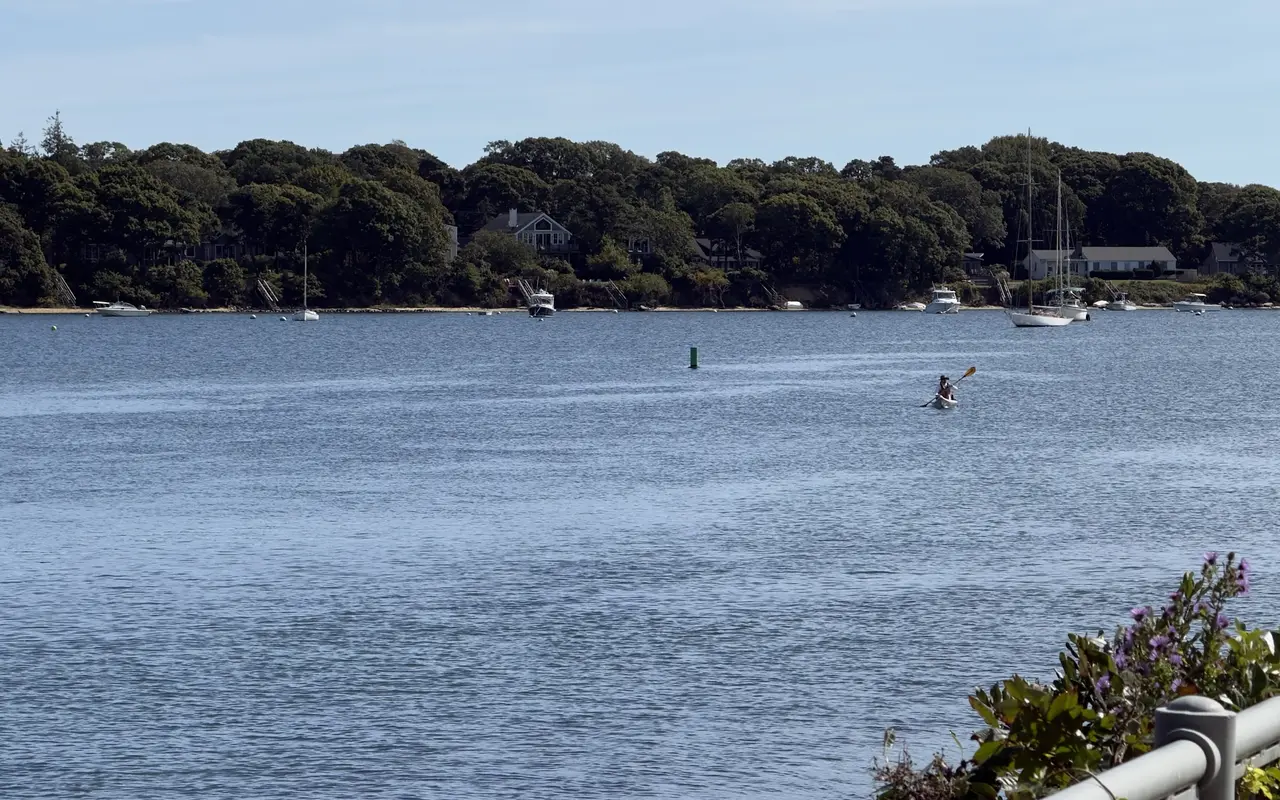
Vineyard Haven · Lagoon PondPhoto by MV Vacation
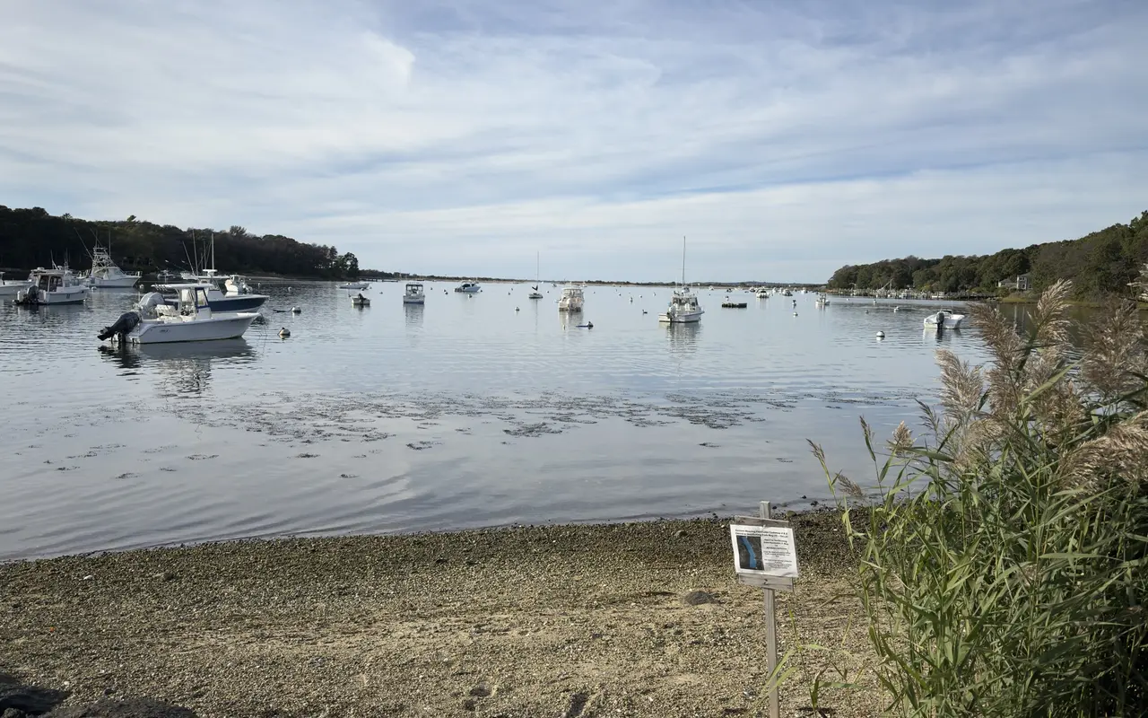
A kayaker on Lagoon Pond in October, calm water and boats moored along the far shore.
Lake Tashmoo
Vineyard Haven · Lake TashmooPhoto by MV Vacation
Tashmoo is a calm tidal pond with a cut to the Sound. It makes gentle flatwater to learn on, though the channel pulls hard once the tide turns.
At about 270 acres, Lake Tashmoo is small enough to circumnavigate in about 2 hours at a relaxed pace, a good length for a sunset paddle. The lake connects to Vineyard Sound through a narrow jettied cut at its north end, and the tide runs hard through it: Tisbury bans swimming in the channel, and paddlers keep well south of the jetties. The pond itself is sheltered and rarely rough. Launch from Lake Street Landing, the town ramp and dock at the foot of Lake Street on the east shore (about a mile from downtown, no launch fee listed). The town beach lot at the end of Herring Creek Road has been closed to cars since July 17, 2026, so Lake Street is the practical launch. The western shore is undeveloped and quiet. Evening paddles here come with the sun dropping over the Sound and ospreys returning to their nests. Wind's Up in Vineyard Haven rents kayaks and will deliver for rentals of three days or longer ($80 round trip); for a single evening, bringing your own boat on the car to Lake Street Landing is simpler.
Tisbury Great Pond
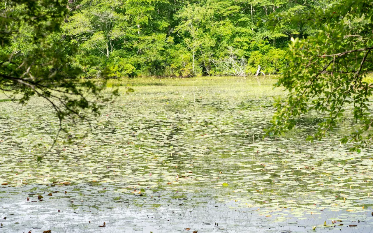
A lily-pad pond · under the treesPhoto by MV Vacation
A sheltered freshwater pond under the trees. The south-shore great ponds are the wilder paddle: brackish, open and fringed with marsh grass, with a wind that builds fast after noon.
At about 740 acres, Tisbury Great Pond makes a long all-day paddle. The pond sits in West Tisbury, separated from the Atlantic by a narrow barrier beach accessible only by kayak or foot. No road access means the south shore is among the most remote and undisturbed places on Martha's Vineyard. Launch from the Land Bank's Sepiessa Point Reservation, where the boat landing is at the end of the dirt road off New Lane, or from its Quansoo Preserve. A full exploration takes 5–8 hours and there are no facilities, so everything you need comes with you. The pond occasionally connects to the ocean through a seasonal cut. When the cut is open, tidal flow creates current, so it's best to keep away from it and check with locals before launching during cut season (typically late spring or summer). What the great ponds are, and why they are cut open to the sea, is in our ponds guide.
Menemsha pond chain
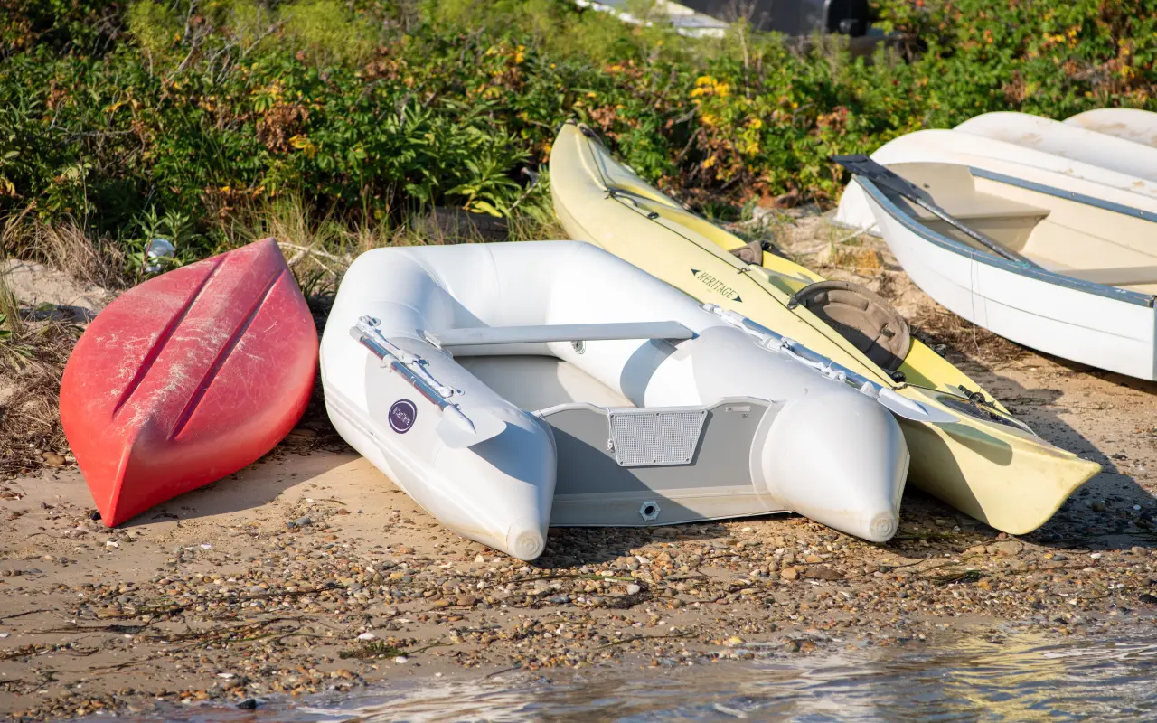
Paddling · boats on the shorePhoto by MV Vacation
Up-island, Menemsha and Nashaquitsa ponds link into a chain you can paddle for hours.
The connected ponds of Chilmark (Menemsha Pond, Nashaquitsa Pond, and Stonewall Pond) form a 3–4 mile chain. Menemsha village (the island's working fishing harbor) sits at the pond's western end, and Book-A-Boat rents kayaks right there. The narrows between Menemsha and Nashaquitsa require a short portage or a careful squeeze at high tide. Nashaquitsa is quieter and wilder. Stonewall Pond, the innermost, is almost completely undisturbed. Early morning is a good time for the whole chain: fishing boats, egrets on the flats, and the cliffs of Aquinnah visible to the west. See the fishing guide for context on Menemsha Harbor's fishing scene.
Chilmark Pond
Chilmark Pond is the quiet beginner pond on the west side: small, protected, and rarely visited by tourists. No rental operation on site means you need to bring your own boat or arrange delivery from Island Spirit Kayak or Wind's Up. In return you get real quiet and a paddle to a remote barrier beach that sees almost no foot traffic. Access is limited: the way in is the Land Bank's Chilmark Pond Preserve on South Road, which has a canoe drop and only a few parking spaces, so having a backup plan helps. The Land Bank's ocean beaches are 0.2 miles across the pond, by boat only. Early morning is best, when the water is flat. Our sunset guide covers the evening light on the west side.
Chilmark · flat waterPhoto by MV Vacation
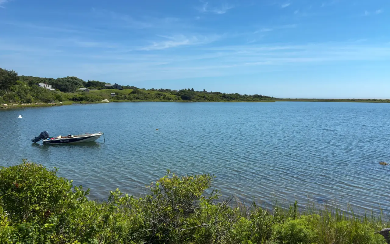
A calm pond in Chilmark on a clear day: one skiff and no crowd.
Rental operators and prices
Operator
Location
Hourly rate
Half day / full day
Guided tours
Also offers
Island Spirit Kayak
Sengekontacket Pond (Oak Bluffs)
from 2 hours up to monthly
Half-day available
$75–$175
Glow Paddle night tours in clear-bottom kayaks $120; sunset tours
Wind's Up
Lagoon Pond (Vineyard Haven)
$35 / 2 hours
$55/full day
No
Delivery to other ponds $80; also rents SUPs, windsurfers
Book-A-Boat
Menemsha / Chilmark
N/A
Singles $55 half-day, Doubles $76 half-day (2026; less off-season)
No
West side focus; covers Menemsha Pond chain
Felix Neck (Mass Audubon)
Felix Neck Sanctuary (Edgartown)
$50–$60/boat
Session-based
Yes, naturalist-led $45–$78 per person
Wildlife and ecology focus; advance booking required
Trustees (Long Point)
Long Cove Pond, Long Point Wildlife Refuge (West Tisbury)
Daily in June, July and August; book online
Kayaks and SUPs
No
Adaptive kayak at Long Point; reserve ahead
In July and August every operator books out days or weeks ahead, so it's worth booking as soon as your trip is set. Shoulder season (May–June, September–October) has same-day availability most days. Island Spirit Kayak's Glow Paddle night tours have limited spots, so those are worth booking as soon as you have dates. Outside June to Labor Day, Island Spirit works by reservation and is not at the beach every day.
Ten kayak routes, beginner to expert
Beginner routes
Route 1: Sengekontacket Pond loop (2.4 miles)
Skill: Beginner | Time: 1–1.5 hours | Launch: Island Spirit Kayak on Beach Road
A classic first paddle. Paddle north from the Island Spirit dock along the western shore, passing osprey nesting platforms and shallow eel grass beds, then loop back along the eastern shore near the Beach Road causeway. The water is rarely more than 4 feet deep. It's a good route for building confidence, learning to read wind and wake, and watching birds. Harbor seals occasionally appear in fall.
Paddle north toward the drawbridge, then south toward the Oak Bluffs end of the pond. The pond narrows toward the south into small channels and coves. The east shore is largely undeveloped. Wind's Up has paddleboards and windsurfers on the water at the same time. Keeping to the right of the channel helps when wind sport traffic is heavy. Good for families with children who want predictable, flat water.
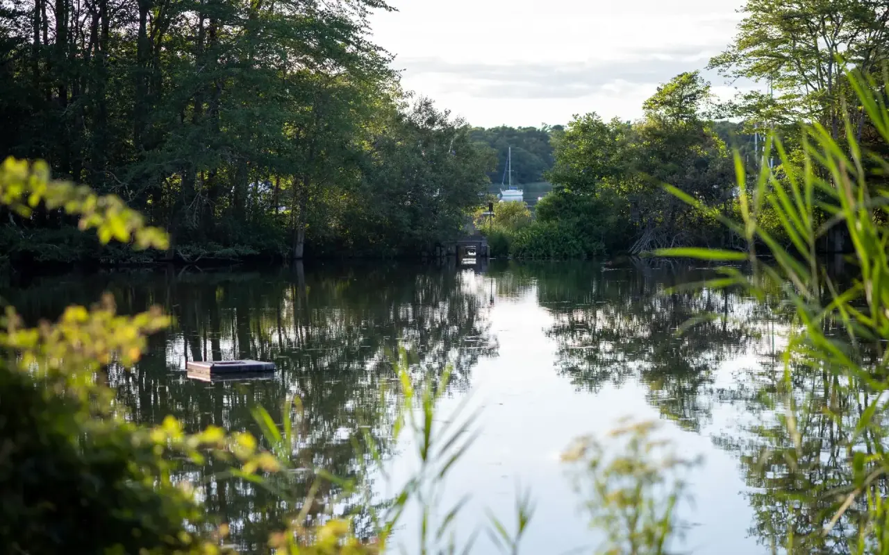
Vineyard Haven · Lake TashmooPhoto by MV Vacation
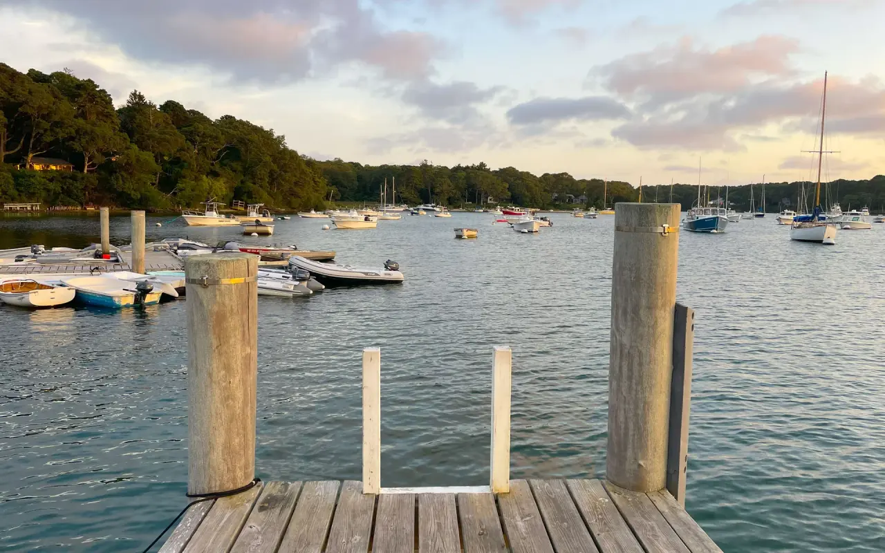
A dock on Lake Tashmoo in Vineyard Haven, moored boats beyond: the pond’s sheltered water is the easy paddle before the opening to the Sound.
Route 3: around Lake Tashmoo (3 miles)
Skill: Beginner–Intermediate | Time: 1.5–2 hours | Launch: Lake Tashmoo Town Landing
From the town landing, counter-clockwise works well. The western shore is undeveloped oak and scrub forest. The north end has a narrow inlet to Vineyard Sound. It's worth paddling in for a look, but going out into the Sound is for paddlers experienced with tidal currents. The eastern shore has private homes and docks but the water access is public. In clear weather the water is clear enough to watch stripers and bluefish working the eel grass from your kayak. A sunset loop starting around 6PM in summer is a lovely way to end the day.
Lake Tashmoo · the town landingPhoto by MV Vacation
The view from the town landing where the Tashmoo paddle starts: moored boats on flat water and the lake opening out beyond them.
Launch from the Menemsha area and paddle east through the narrow connection to Nashaquitsa Pond, then continue to Stonewall Pond if tides allow. The narrows between Menemsha and Nashaquitsa require care: it's shallow at low tide and the passage is narrow. A mid-tide launch makes the passage comfortable. Stonewall is the quietest, most remote of the three ponds. Then it's back to Menemsha in time for sunset over the harbor. See the Chilmark guide for Menemsha village details.
Take the Chappaquiddick ferry from Edgartown with your own kayak. Launch into Poucha Pond and paddle east toward the Cape Poge tidal gut. At mid-to-high tide, the gut allows passage into Cape Poge Bay, a remote, undeveloped embayment with the Cape Poge Lighthouse visible in the distance. Harbor seals haul out on sandbars in fall and winter. Shorebirds, including piping plovers, nest on the outer beach in spring. Return through the gut on a rising or high tide. The gut is no place to be at low tide or on a strong ebb. Our Chappaquiddick guide has the access details.
Route 6: Edgartown Great Pond (5–8 miles)
Skill: Intermediate | Time: 3–5 hours | Launch: Town landing on Turkeyland Neck, off Meetinghouse Way
Launch from the north end of the pond and paddle south, exploring the arms and coves as you go. The Land Bank's beach on the barrier beach, 1.1 miles across the pond from the landing, is accessible only by water (land only on the marked section), with no facilities, and usually empty. The south end of the pond (approaching the barrier beach) has the potential for tidal current if the seasonal cut to the ocean is open. If you're unsure, staying north of the middle section is safer. Doing the pond justice takes 4–5 hours at least, with lunch along and the return paddle into the afternoon wind in mind if you start late.
Route 7: Tisbury Great Pond (5–8 miles)
Skill: Intermediate | Time: 4–6 hours | Launch: Sepiessa Point Reservation (Land Bank), West Tisbury
This is the most remote paddle on the island. Starting at first light, you cross the main pond heading south and follow the arms toward the barrier beach. The beach itself, which you reach by landing your kayak and walking over the dune, is one of the most isolated spots on the island. No roads reach it. In summer, you may have company from a few other paddlers. In May, September, or October, you may be completely alone. Water, food, sun protection and a dry bag all come along, and the weather matters: afternoon wind across more than 700 acres of open water creates conditions that are tiring even for experienced paddlers.
Launch from Katama Landing and paddle the western shoreline of the bay, staying well away from the Norton Point breach. The bay's tidal flats are exposed at low tide, creating extensive shallow areas where you can watch horseshoe crabs, wading birds, and schools of baitfish. The blue crab population here is significant, worth watching carefully in warm water months. Wind exposure is what matters most: morning launches in calm conditions are excellent. Afternoon launches with any south or southwest wind are a bad idea. Our weather guide is worth a look before any open-water paddle here.
Advanced and expert routes
Route 9: Oak Bluffs to Edgartown along the coast (5 miles)
Skill: Advanced | Time: 2.5–3.5 hours | Launch: Oak Bluffs Harbor or State Beach
A coastal paddle along the northeast shore of the island, exposed to Nantucket Sound. The route passes State Beach, the barrier beach at Sengekontacket, and arrives in Edgartown Harbor. Conditions decide everything: this is an open-water paddle with no shelter in northerly or easterly wind. It needs a careful look at the forecast and a plan for where to land if conditions turn. Summer brings heavy powerboat traffic. You need solid bracing skills and the ability to handle 1–2 foot wind chop, so it's not a first open-water paddle. Knowing the Edgartown harbor approach helps, and so does watching for ferry traffic at the harbor entrance.
Route 10: crossing Vineyard Sound (4–5 miles)
Skill: Expert only | Time: 2.5–4 hours | Launch: West Chop or Vineyard Haven Harbor
The crossing of Vineyard Sound to the Elizabeth Islands is a serious open-water undertaking. Tidal currents running up to 2–3 knots across the Sound, heavy commercial and recreational boat traffic, ferry wakes, and exposure to all wind directions make this route appropriate only for experienced sea kayakers with proper equipment (sea kayak, spray skirt, pump, paddle float, VHF radio). The crossing to Naushon Island (the largest Elizabeth Island) is achievable in calm conditions at slack tide, but the Elizabeth Islands are mostly private land with limited legal access points. It takes local knowledge, ideally a partner with experience, and a float plan filed before you leave.
When to paddle
Period
Water temp
Wind pattern
Crowds
Wetsuit?
Verdict
May–June
50–61°F (cold)
Variable, strong
Low
Required
Experienced paddlers only; beautiful and uncrowded
July–August
68–76°F (warm)
SW builds afternoons
Very high
No
Peak season; rentals book out; paddle early mornings
September
67°F (warm)
Calmer than summer
Moderate
No
A very good month: warm water, less wind, fewer crowds
October
62°F (cool)
Northerlies increase
Low
Recommended
Excellent if dressed right; scalloping season begins; dramatic light
November–April
33–53°F (mildest in November, frigid by midwinter)
Strong, unpredictable
Very low
Drysuit required
Expert only; most rentals closed; remote and beautiful
Before 10AM is the time to paddle. Regardless of the month, mornings on Martha's Vineyard tend to be calmer, clearer, and more wildlife-active than afternoons. The southwest sea breeze that makes summer beaches pleasant is the same wind that makes afternoon kayaking on exposed water tiring. A 7–9AM launch gets you back on shore by noon, which matters on any day with predicted afternoon wind above 10 knots.
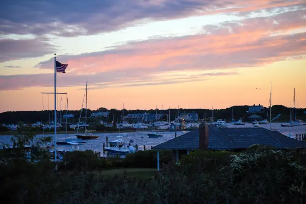
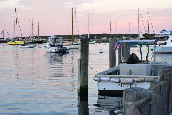
Vineyard Haven · Lake Tashmoo at sunsetPhoto by MV Vacation
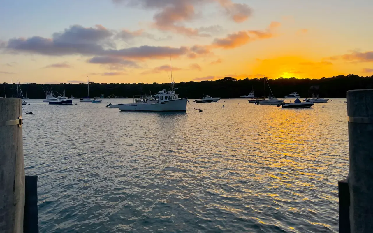
Moored boats on Lake Tashmoo at sunset, the water gone flat: the evening calm is a good window too.
For a full breakdown of island conditions by month, the Martha's Vineyard weather by month guide covers ocean temperatures, wind patterns, and rainfall for every month of the year.
Wildlife on the water
A kayak is a good way to see the island's wildlife, since you're at water level, quiet and slow. By season, this is what turns up:
Osprey
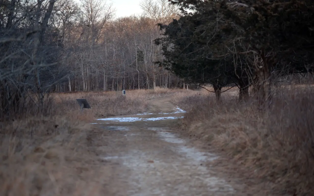
A winter trail · dry grassPhoto by MV Vacation
A trail along a field of dry grass in winter, with snow in the ruts. At Felix Neck the trail runs down to Sengekontacket, and from a kayak you get a good look at the osprey nests in the marsh.
Martha's Vineyard had more than 150 pairs of osprey at least building nests in 2026, according to ornithologist Rob Bierregaard, who has studied them here since 1971. They nest on channel markers, utility poles, and dedicated nesting platforms throughout all the major ponds. Nesting season runs April through August. Osprey begin hunting actively as soon as the water warms in late May. You'll see them hovering 30–50 feet over the water, then diving feet-first to catch fish. Sengekontacket, Lagoon Pond, and Lake Tashmoo all have reliable osprey sightings from May through October.
Horseshoe crabs
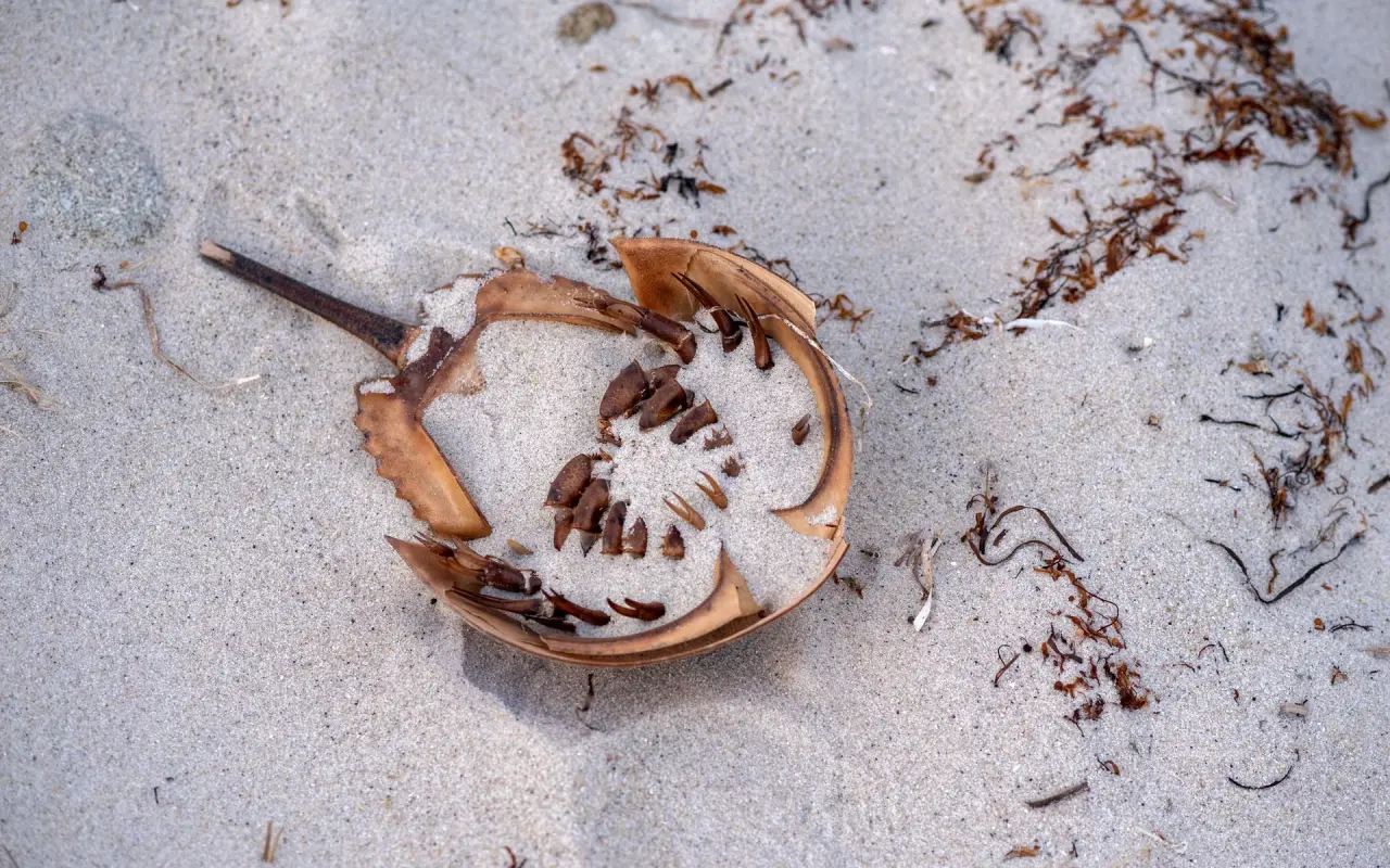
The shallows · horseshoe crabsPhoto by MV Vacation
A horseshoe crab shell washed up on the sand. In late spring the live ones crowd the shallows to spawn; they are harmless to a paddler.
The horseshoe crab spawning run happens on spring high tides in late May and June, and the shorebirds it feeds draw birders from across the country. From a kayak you can watch from closer than you could on foot. The pale-green egg masses show up along sandy pond margins. The crabs are best left alone: they're protected, and handling stresses them.
Harbor seals
Harbor seals return to Martha's Vineyard in late September and stay through April, hauling out on sandbars and rocky ledges near tidal inlets. They're most visible near Cape Poge, the Edgartown Great Pond outlet, and Katama Bay. From a kayak, you can approach within viewing distance while the seals are in the water; they're naturally curious. If a seal approaches your boat, staying still and letting it be is the way to enjoy it. Where seals gather, great white sharks may not be far away, so Sharktivity is worth checking before paddling near a haul-out.
Bioluminescence
On warm, calm, moonless summer nights (typically July and August, sometimes into September), certain ponds on Martha's Vineyard exhibit bioluminescence: dinoflagellates in the water glow blue-green when agitated by paddle strokes. It is never guaranteed. When it happens, the water lights up with every stroke. It is most intense in protected, brackish ponds with warm water and the right plankton bloom. Island Spirit Kayak's Glow Paddle night tour ($120) is a different thing: clear-bottom kayaks lit by glow lights on Sengekontacket, so there is something to see whatever the plankton is doing, and any natural sparkle is a bonus.
Scalloping from a kayak
Martha's Vineyard bay scallops have a reputation well beyond the island: small, sweet, and harvested from the same ponds you paddle. The season runs October through March with specific dates varying by town and year. Each town issues its own shellfish licenses for recreational harvesting:
Town
License cost (approx.)
Weekly limit
Best ponds
License office
Edgartown
Fee not posted online; call the shellfish office, 508-627-7570
1 wash basket per week
Edgartown Great Pond, Katama Bay
Edgartown Town Hall
Oak Bluffs
$40 resident / $400 non-resident per year
1 heaping bushel per week
Sengekontacket Pond (shared with Edgartown)
Oak Bluffs Town Hall
Tisbury (Vineyard Haven)
$40 resident / $400 non-resident per year (the short visitor permits do not cover scallops)
1 bushel
Lake Tashmoo, Lagoon Pond
Tisbury Town Hall
Chilmark
$25 resident / $50 non-resident, plus a $100 scallop endorsement for non-residents
1/2 bushel a week
Menemsha Pond, Nashaquitsa
Chilmark Town Hall
West Tisbury
Family permits cover oysters and clams; non-resident licenses exclude scallops
No scallops on a non-resident license
Tisbury Great Pond
West Tisbury Town Hall
Each town's select board sets its scallop season dates in September, so check your town's opening day before you go.
Scalloping from a kayak works well: you can glide over eel grass beds, spot scallops through polarized sunglasses in clear shallows, and work areas that motorboat scallopers can't reach due to depth. You need a mesh bag that can hang over the side of your kayak, a pair of neoprene gloves, and a pair of polarized sunglasses. The scallop season overlaps with the fall foliage and late-season paddling window: October mornings on Edgartown Great Pond or Tisbury Great Pond, scalloping and watching the mist burn off, are as quiet as the island gets. See the fishing and Derby guide for more on island shellfish and fishing traditions.
If your dog is coming along, most ponds allow dogs in kayaks; near nesting birds they stay leashed, and a water bottle for them helps on warm days.
Safety Warning
Kayaking can be dangerous. Martha's Vineyard waters include great white sharks, strong tidal currents, cold water that can cause hypothermia, and heavy ferry traffic. Always wear a PFD, check conditions before launching, never paddle alone in open water, and dress for the water temperature, not the air. This guide is for informational purposes only and does not replace professional instruction or local knowledge.
Sengekontacket Pond from State Beach, with Island Spirit Kayak on site; Lagoon Pond between Vineyard Haven and Oak Bluffs, with Wind’s Up; or Felix Neck in Edgartown for naturalist tours. All three are flat, protected water.
Is it dangerous?
It can be. The waters here hold great white sharks, strong tidal currents at the pond openings and harbor channels, cold water that can cause hypothermia and heavy ferry traffic. A PFD, a look at conditions, a partner on open water and clothes for the water temperature, not the air, cover most of it.
When is the best month?
September is a good bet: warm water, light winds, quiet ponds and the ospreys still on their nests.
Where can I rent a kayak?
Island Spirit Kayak on Sengekontacket, Wind’s Up on Lagoon Pond (with delivery for three days or longer), Felix Neck for its guided trips, the Trustees at Long Point on Long Cove Pond in summer, and Book-A-Boat on the Menemsha pond chain.
Which routes are for experienced paddlers?
Edgartown Great Pond and Tisbury Great Pond for long distances and barrier-beach landings, and Katama Bay for tidal flats with an ocean connection. Our great ponds guide explains the openings and why they matter.
Island tip of the dayTimingNo. 58 of 79New tip at midnight, island time
Oak Bluffs restaurants are packed 6–8 PM. Eat at 5 PM or after 8:30 PM: same food, half the wait, easier parking.
Useful?
More on
Four free downloads · 2026 editions
Four island guides, in your inbox
The Beach Guide (all 20 beaches decoded), The Vineyard in the Fall, the season date by date, Where to Stay, every town and price band, and What It Really Costs, the 2026 budget line by line. All four PDFs free, plus a short island letter when there is something worth telling. No schedule, no spam.
No spam, unsubscribe in one click. Want a look first? See what you get.
First email ever from us? Give it a minute, and peek in spam once.
Disclaimer: The information in this article is provided for general guidance only and was accurate at the time of writing. Beach conditions, hours, prices, lifeguard schedules, ferry fares, and business operations change frequently and without notice. Ocean swimming carries inherent risks including rip currents, undertow, and cold water shock. Always verify current conditions with official local sources before your visit. MV Vacation assumes no responsibility for any loss, injury, or inconvenience resulting from the use of this information. Swim only where lifeguards are on duty, supervise children at all times near water, and follow all posted safety signs.
A guide to Martha's Vineyard, written on the island: beaches, dining, events and island living. We write down what we know about the island so your trip goes the way you hoped.
Where to learn to sail on Martha's Vineyard, checked October 2026: Sail Martha's Vineyard's summer classes on Lagoon Pond, private lessons for adults, Sunfish rentals in Vineyard Haven and Menemsha, schooner and catboat sails, summer races you can watch or crew, and what the wind and currents are like.
Shellfishing on Martha's Vineyard town by town: what each of the six towns charges a visitor for a permit and what it covers, where to buy it, weekly limits and sizes, the 2026 to 2027 bay scallop dates published so far, how to check storm and rain closures, and keeping the catch safe to eat.
Every rule a visiting angler needs on Martha's Vineyard, checked October 2, 2026: who needs the $10 Massachusetts saltwater permit, freshwater and tuna permits, 2026 size and bag limits by species, what you can keep this month, the Derby, beach-driving permits, pier rules and Aquinnah parking.
Martha's Vineyard shore fishing spot by spot: the Oak Bluffs pier, Memorial Wharf, State Beach, Menemsha, Lobsterville, Dogfish Bar, Squibnocket, Lambert's Cove, Tashmoo, Cape Poge, Wasque, Norton Point and South Beach, with legal parking, resident-only rules, hazards and a monthly calendar.
MV fishing guide: the 81st Derby, the shore spots everyone knows by name, charter prices, monthly calendar, tackle shops, and beginner tips.
Subscribe
The free island library · 2026
One short island letter, and all four guides to start
Beach reports, events worth a day, ferry heads-ups. Sent when there is something worth telling. The Beach Guide, The Vineyard in the Fall, Where to Stay and What It Really Costs arrive with your welcome email.
The Beach Guide, The Vineyard in the Fall, Where to Stay and What It Really Costs. No spam, one-click unsubscribe.
We use cookies for trip planning, site stats and ads, including ads based on your browsing. To opt out, turn on Global Privacy Control in your browser. Cookie policy
These cookies are essential for the website to function properly.
These cookies help us understand how visitors interact with the website.
These cookies are used to deliver personalized advertisements.