Martha's Vineyard Beach Access and Permits: What Visitors Can Actually Use (2026)
Which Martha's Vineyard beaches are open to visitors, which need stickers or permits, and what everything costs in 2026: town by town, gate by gate.


Popular searches:
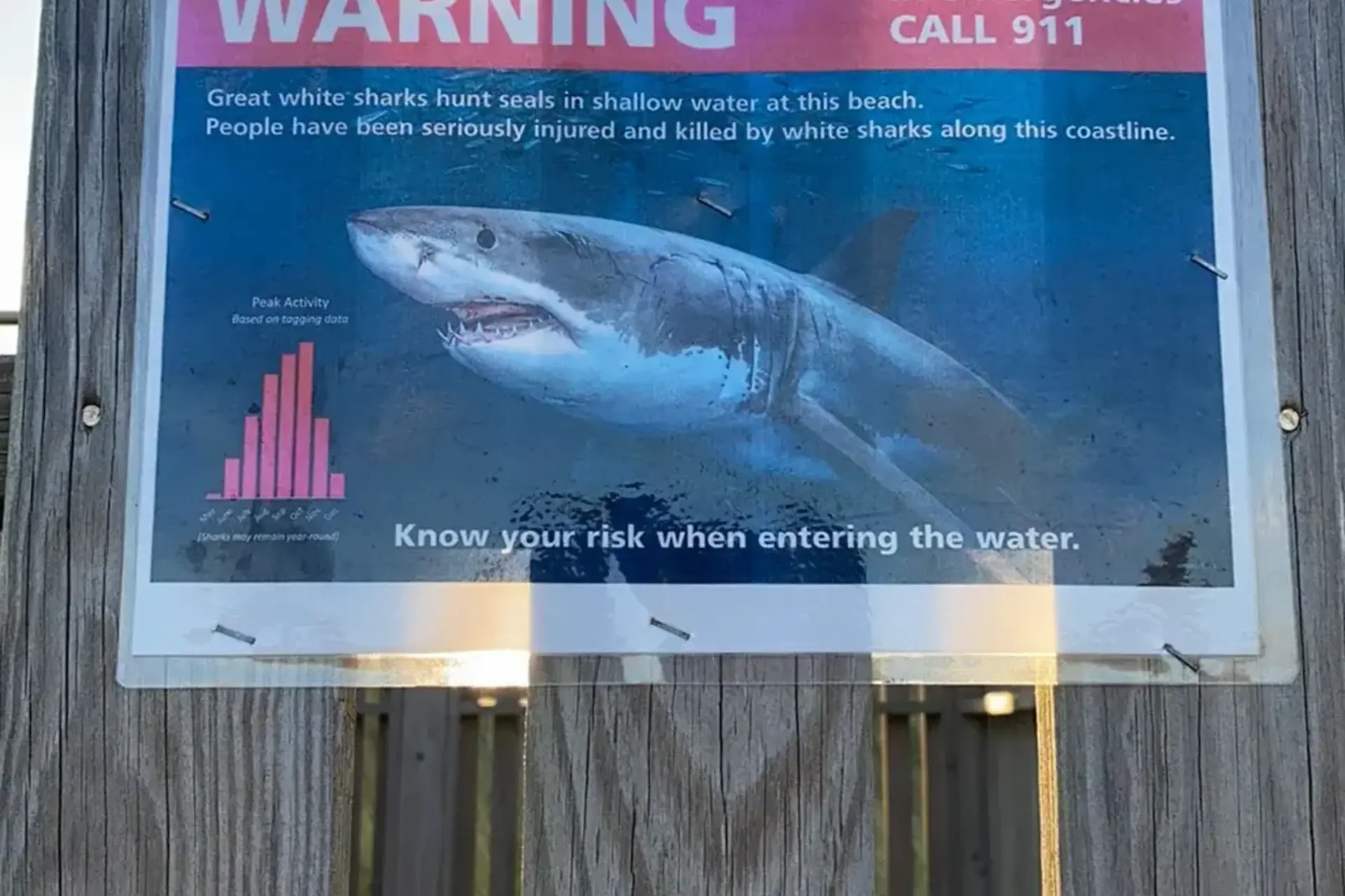
A great white shark warning posted at South Beach, a laminated copy of the Cape Cod National Seashore poster. Its chart of tagging data shows shark activity peaking in late summer and early autumn, while the beaches are still busy.
Rip currents, tidal channels, sharks, bacteria closures, wartime ordnance and cold water: the Martha's Vineyard beach safety guide, with the 2026 incidents (the Long Point drowning, the Norton Point possible shark bite, the Lucy Vincent sighting), which beaches have lifeguards and when they leave, how to escape a rip, and where the hospital is.
On the last day of July 2026 a father from Cambridge went into the water at Long Point to reach his sons, who had been pulled out by a rip current. The boys and two others made it back with help. He did not. Lifeguards from South Beach drove five miles up the shore on ATVs to assist, the Trustees closed the refuge for the weekend, and the island papers repeated what they say most summers: the south shore is beautiful, and its surf is serious. Each of our beach guides has a line about currents; this page puts it all in one place, with the 2026 incidents, how rips work, the signs you will see and what to do.
Table of contents [Show]
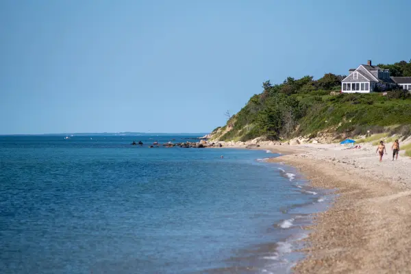
The island's Atlantic side, from Wasque on Chappaquiddick west through South Beach, Long Point, Lucy Vincent, Squibnocket and Moshup, faces open ocean with a steep underwater slope and sandbars that move every storm. Water pushed onto the beach by waves has to get back out, and it does so in narrow, fast channels: rip currents. South Beach's head lifeguard has said the beach has big rips almost every day in summer, that his guards average about two rescues a week, and that a rough day can bring ten. They are always there and vary only in strength; the strongest days are the two or three before and after a storm, even a storm that passed hundreds of miles offshore. The north shore, facing Nantucket Sound and Vineyard Sound (State Beach, Inkwell, Owen Park, Lambert's Cove, Menemsha), has small waves, warm shallow water and, apart from a few tidal channels, no rips worth the name. For families with small children and weaker swimmers, the north shore is the better beach.
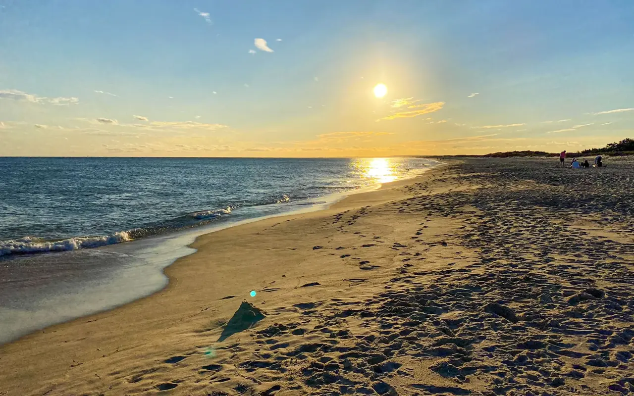
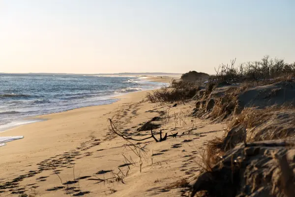
A long ocean beach in low sun, looking along the shore.
For beach days
The Beach Guide, free
All 20 beaches with parking, stickers, lifeguards and dog rules, plus a one-page card for the beach bag. Free with the island letter, together with three more island guides.
One-click unsubscribe, and we never share your email.
The other kind of current has nothing to do with surf. Wherever a pond or harbor empties into the sea through a narrow opening, the tide runs through it like a river, twice a day, and it does not look dangerous because the water is flat. The bridge on State Beach (the Jaws bridge) is the famous one: the current through the opening into Sengekontacket Pond is strong enough that the towns post no-jumping signs, and our State Beach guide and Jaws tour both say the same thing, watch from the sand. The others: the Tashmoo opening on the north shore, the Lagoon drawbridge and Eastville Beach in Oak Bluffs, the Menemsha channel between the jetties, and, new in 2026, the Norton Point breach. The barrier beach between Katama and Chappaquiddick broke through on January 1, 2026, and the tide now rips through the cut with a force that has already closed the point to vehicles for stretches of the year. It's safest not to swim near an opening on a moving tide, and to keep children out of the shallows beside one.
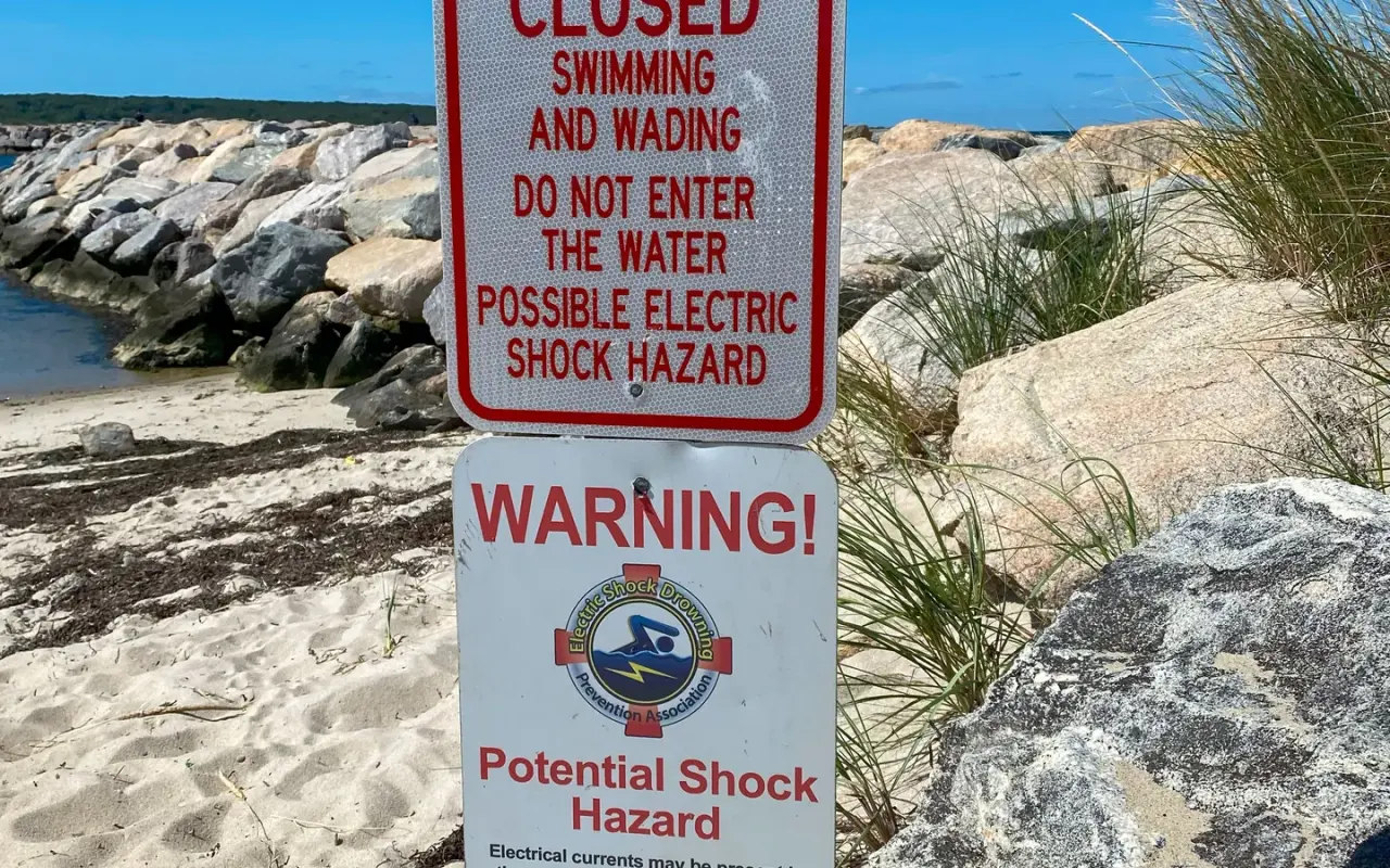
A posted sign by a jetty closing swimming and wading for a possible electric shock hazard from stray current in the water, a risk near any marina.

White sharks follow the seal population, and the seal population around the Vineyard has grown for two decades. The first confirmed white shark activity of the 2026 season in Massachusetts was a dead gray seal with a white shark bite that washed up at Lucy Vincent Beach on May 11; the New England Aquarium's shark scientist logged it and said what he says every year: anyone in the water on the Massachusetts coast is in white shark habitat, though the heaviest activity is off the outer Cape. Then, on August 31, a woman in her late twenties was pulled from shallow water at Norton Point with lower-leg wounds that officials called consistent with a possible shark bite, non-life-threatening; no shark was seen, the state’s shark biologist, Greg Skomal, first named sandbar and sand tiger sharks as the likelier suspects, and swimming at South Beach and Norton Point was suspended for a few hours. Four days later, on September 4, Chilmark's beach superintendent and guards spotted a shark, believed to be a mako, jumping off Lucy Vincent, a firefighter confirmed it by drone, and the town closed swimming for a spell. On September 9 Skomal confirmed the Norton Point case: “most certainly a shark bite,” most likely a sandbar shark, and the first unprovoked shark bite in the island’s recorded history, per the Vineyard Gazette.
In practice the risk is very low but not zero, and it is highest in late summer and early autumn, in murky water, near seals and near schools of bait fish. The sign at South Beach gives the usual advice: swim close to shore and in groups, stay out of the water near seals, skip dawn and dusk on the south shore, and get out promptly if a guard clears the water. The Atlantic White Shark Conservancy's Sharktivity app carries every confirmed sighting and detection in near real time and is worth installing for a south-shore week. Towns close swimming for a period after a confirmed sighting; the length varies by town, so ask the guard.
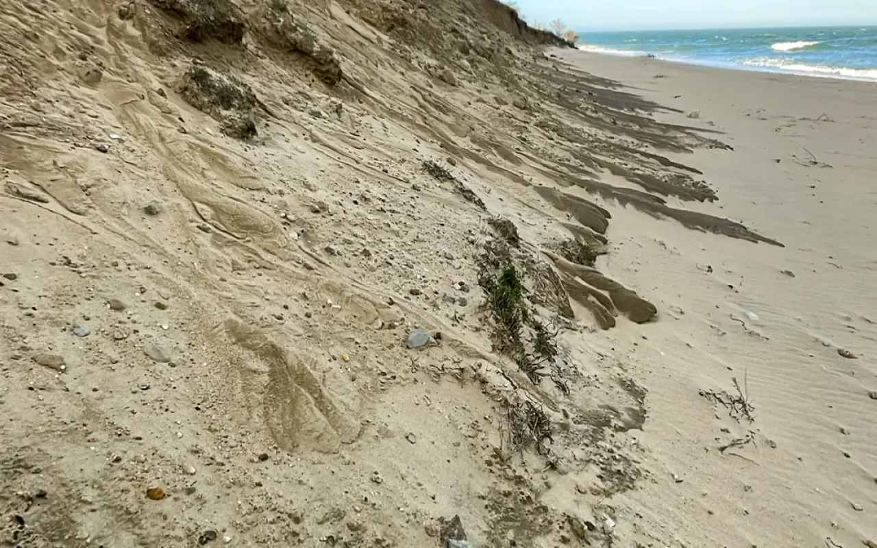
An eroded dune face above an open-ocean beach.
Massachusetts tests its public bathing beaches through the summer and posts every result and every no-swim advisory on the state's interactive beach water quality dashboard. On the Vineyard the closures come after heavy rain, when runoff pushes enterococci bacteria over the limit at sheltered beaches and ponds. In the wet weeks of July and August 2026 that meant, at various points, Inkwell, Pay Beach, Eastville and the Lagoon side of the drawbridge in Oak Bluffs, and Seth's Pond, Lambert's Cove and the Long Point beaches in West Tisbury, posted for a day or several until a clean test came back. The day after a downpour, an open-ocean or open-Sound beach is the safer pick, and the dashboard is worth a look before a pond swim.
The ponds have a second problem. The island's boards of health and the Great Pond Foundation run MV Cyano, which samples the great ponds for cyanobacteria (blue-green algae) and grades them; red advisories in 2026 covered Chilmark Pond, Tisbury Great Pond, James Pond and a pond at Mink Meadows. A bloom looks like green paint, pea soup or scum along the edge. It's best to stay out of it, and to keep dogs out especially, because dogs drink it and it can kill them. Our Felix Neck guide and pond posts point to the current advisories. Our ponds guide explains the blooms and the color codes.
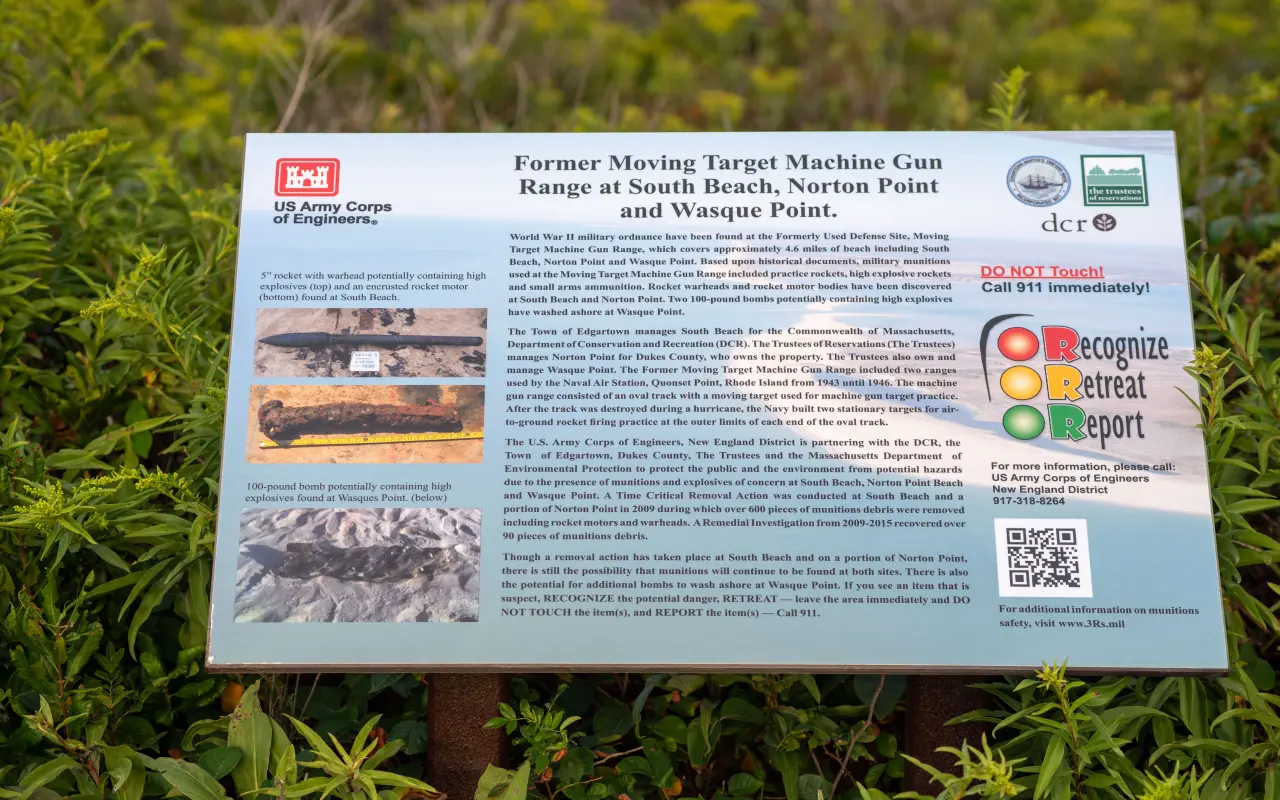
The Army Corps of Engineers sign about the old target range: the shore from South Beach to Wasque was a wartime target range, and ordnance still surfaces. The sign's rule: recognize, retreat, report, and call 911.
South Beach, Norton Point and Wasque were a military machine-gun and bombing range in the Second World War, and so was Little Neck on Cape Poge. The Army Corps of Engineers has removed thousands of items over the years and still posts signs at the entrances because storms keep uncovering more: rusted, sand-colored, sometimes the size of a can, occasionally live. The sign's rule covers it: recognize that a metal object on this shore might be munitions, retreat without touching it, and report it by calling 911. Children love to pick things up on a beach, so it's worth a word with them on these four.
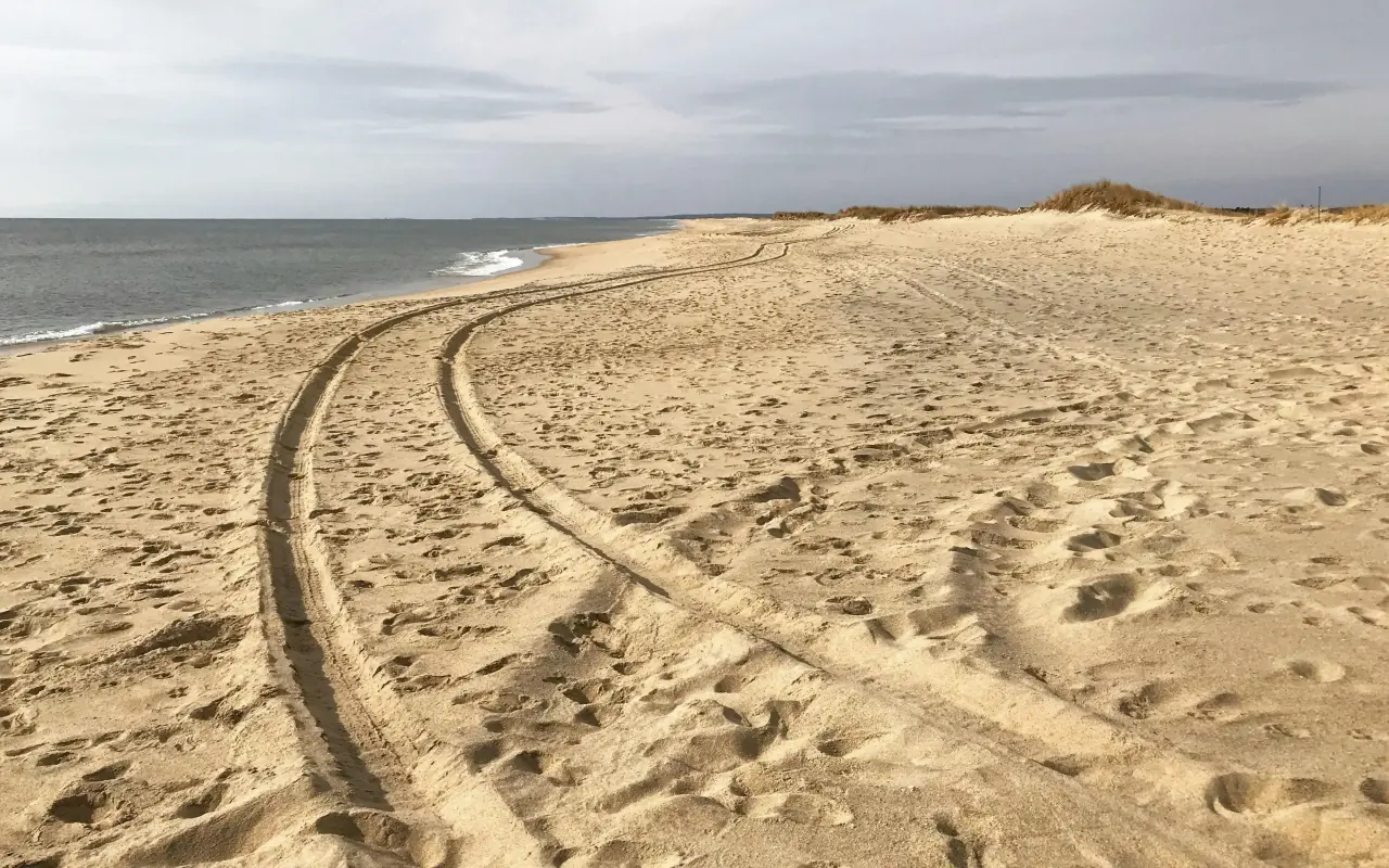
Tire tracks across the sand on a gray day.
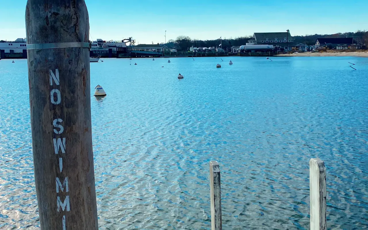
A No Swimming post on the Vineyard Haven waterfront. Harbors are working water: ferries, moorings, fuel docks and propellers. The town beaches are a few minutes’ walk in either direction.
The harbors are not for swimming. The ferries in Vineyard Haven and Oak Bluffs, the fishing fleet in Menemsha and the Chappy ferry in Edgartown all move through water people are tempted to swim in, and every one of those towns posts against swimming there. Kayaks and paddleboards on Sengekontacket, Tashmoo and the great ponds are the island's safest way onto the water, with two cautions: a life jacket on every person regardless of age, and an eye on the wind, which on the ponds can turn a ten-minute paddle out into a forty-minute paddle back. Rentals at Felix Neck and on the pond edges will tell you the same before they hand over the paddle.
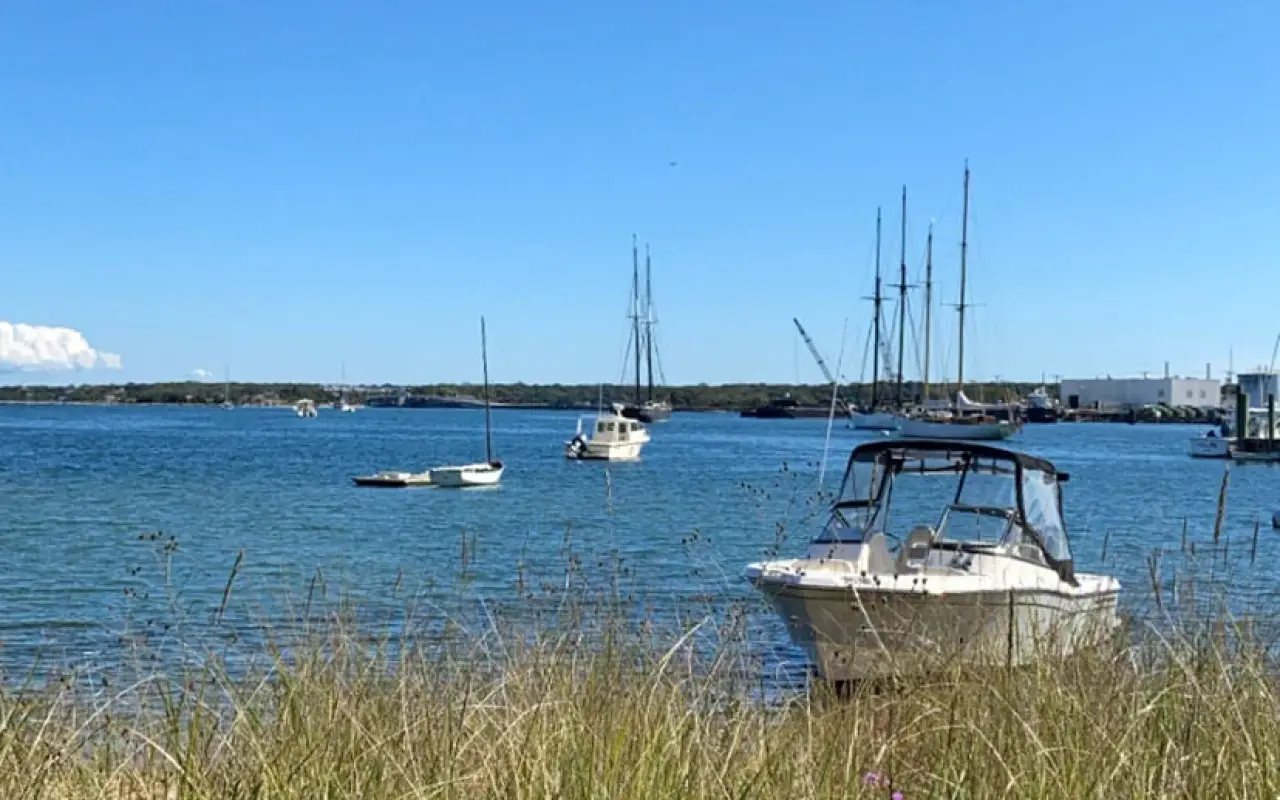
Boats moored close to shore in Vineyard Haven harbor.
| Safest water for children | North shore: State Beach, Inkwell, Owen Park, Lambert's Cove, Menemsha Beach |
|---|---|
| Surf with lifeguards | South Beach, main stretch, mid-June to Labor Day, about 10 to 5 |
| Surf without lifeguards | Long Point, Wasque, Squibnocket, Moshup, Norton Point, Cape Poge, and everywhere after Labor Day |
| Rip current rule | Float, drift, swim parallel, signal. Never fight it, never go in after someone without flotation |
| Tidal channels | Jaws bridge, Tashmoo opening, Lagoon drawbridge, Menemsha channel, Norton Point breach: no swimming on a moving tide |
| Sharks 2026 | Seal kill at Lucy Vincent May 11; confirmed bite at Norton Point August 31 (sandbar shark, most likely; not life-threatening); sighting closed Lucy Vincent September 4. Sharktivity app |
| Water quality | State beach dashboard for bacteria; MV Cyano for pond blooms; skip ponds after heavy rain |
| Ordnance | South Beach, Norton Point, Wasque, Cape Poge Little Neck: recognize, retreat, report, 911 |
| Hospital | Martha's Vineyard Hospital, 1 Hospital Road, Oak Bluffs |
The Long Point drowning, the South Beach guards' response and the rip current advice are from the Vineyard Gazette and Martha's Vineyard Times reporting of August 3 and 6, 2026, including the YMCA aquatics director's guidance. Lifeguard coverage is from the towns' 2026 arrangements as reported by the Gazette in April 2026 and our own beach guides; stands and hours change, so trust the stand in front of you over any guide. The shark incidents are the Boston Globe of May 13, the Times of August 31, and the Gazette's reports of September 4 and of Skomal's September 9 confirmation, 2026. Water quality closures are from the state's beach dashboard and MV Cyano advisories as reported in July and August 2026. The ordnance information is from the Army Corps of Engineers signs at South Beach and Cape Poge, photographed by us. Sea temperatures are from our climate guide. None of this replaces the judgment of a lifeguard or the sign at the gate on the day you visit. The medical guide lists every clinic, pharmacy and hour.
The whole Atlantic side: Wasque, South Beach, Long Point, Lucy Vincent, Squibnocket and Moshup. South Beach’s head lifeguard says the beach has big rips almost every day in summer and his guards average about two rescues a week. The strongest days are the two or three before and after a storm, even one far offshore.
The north shore, facing Nantucket Sound and Vineyard Sound: State Beach, Inkwell, Owen Park, Lambert’s Cove and Menemsha, with small waves, warm shallow water and no rips worth the name apart from a few tidal channels. That is the better beach for them.
A gap in the breaking waves, a channel of darker, flatter, choppier water, foam or sand streaming seaward. The rip is the calm-looking bit between the surf, which is exactly why people walk into it.
Swimming against it doesn't work; it is faster than any swimmer. It pulls you out, not under, and usually fades a short distance past the breakers. Float, then swim across it, parallel to the shore, and angle back in.
At South Beach and the family beaches in season; Long Point and the up-island surf beaches have none. On the last day of July 2026 a father died at Long Point reaching his sons in a rip while South Beach guards drove five miles up the shore to help.
Keep Reading

Island tip of the day Shopping No. 31 of 86 New tip at midnight, island time
The Chappy Ferry costs $5/person round-trip and $17 for a car with driver. Cards work at the Edgartown-side kiosk; bring cash for the boat itself.
Which Martha's Vineyard beaches are open to visitors, which need stickers or permits, and what everything costs in 2026: town by town, gate by gate.
Complete guide to all 20 Martha's Vineyard beaches: parking costs, lifeguard schedules, dog rules, swimming safety, sticker requirements, and ADA access.
Every Martha's Vineyard beach ranked by vibe for 2026: family picks, best surf, sunset spots, quieter sands, parking, access, and dog policies.
State Beach on Martha's Vineyard is known for calm waters and a family-friendly atmosphere. Activities, amenities, and tips for a perfect beach day.
South Beach (Katama Beach) is Martha's Vineyard's top Atlantic surf beach: free parking, lifeguards, 3 miles of sand, and powerful waves in Edgartown.
Sengekontacket Pond in Oak Bluffs is a 745-acre coastal pond on Martha's Vineyard and a favorite spot for kayaking and birding.
The free island library · 2026
Beach reports, events worth a day, ferry heads-ups. Sent when there is something worth telling. The Beach Guide, The Vineyard in the Fall, Where to Stay and What It Really Costs arrive with your welcome email.
Get the free guides

Island prices, hours and details change often. Please verify with businesses before you go. Full disclaimer
The island right now
5:04 PM island time
Four free downloads · 2026
The island guides, in your inbox
The Beach Guide, The Vineyard in the Fall, Where to Stay and What It Really Costs. No spam, one-click unsubscribe.