By MV VacationUpdated Oct 21, 20265 mins read 1,613 views
Beach Road · the Jaws Bridge at sunsetPhoto by MV Vacation
The bridge at the end of a summer day, with people along the rail watching the sky. The signs on the bridge say no jumping, the current through the channel is strong, and the sand below is the easier place to watch from.
Sengekontacket Pond in Oak Bluffs is a 745-acre coastal pond on Martha's Vineyard and a favorite spot for kayaking and birding.
Sengekontacket Pond lies between Oak Bluffs and Edgartown: a long, shallow tidal pond. Separated from Nantucket Sound by State Beach and Beach Road, the pond is a favorite for birding, kayaking and shellfishing.
Current note (updated October 2, 2026): the state closed Sengekontacket to shellfishing on July 8, 2026 after the July storm and reopened it on August 28, once water tests came back clean. Before the September 26 nor'easter the state closed every shellfish area in Massachusetts as a precaution, Oak Bluffs posted on October 8 that Sengekontacket remained closed until further notice, and the town set October 17 as the opening of recreational scalloping there. Majors Cove has its own seasonal closure, and the pond closes again for a while after heavy rain, so the Oak Bluffs shellfish department page is the one to check before you dig. A shellfishing closure is not a swimming advisory.
Filmed June 2023The island moves on: shops, signs and prices may differ from what you see here. The text of this guide was checked October 2026.
The American Legion Memorial Bridge ("Jaws Bridge") spans the larger of two tidal inlets at the Oak Bluffs/Edgartown town line. In Jaws, the shark swims through this channel into the pond while Chief Brody's son watches from a sailboat. While two kids with a cardboard fin distracted the beach guards, the shark got past, in one of the film's best-known scenes. Chief Brody (Roy Scheider) sprints along the stone quay perpendicular to the bridge, which is still visible today. Caution: posted signs prohibit jumping and diving from the bridge, and the tidal current through the channel is strong, so watch the water from the sand.
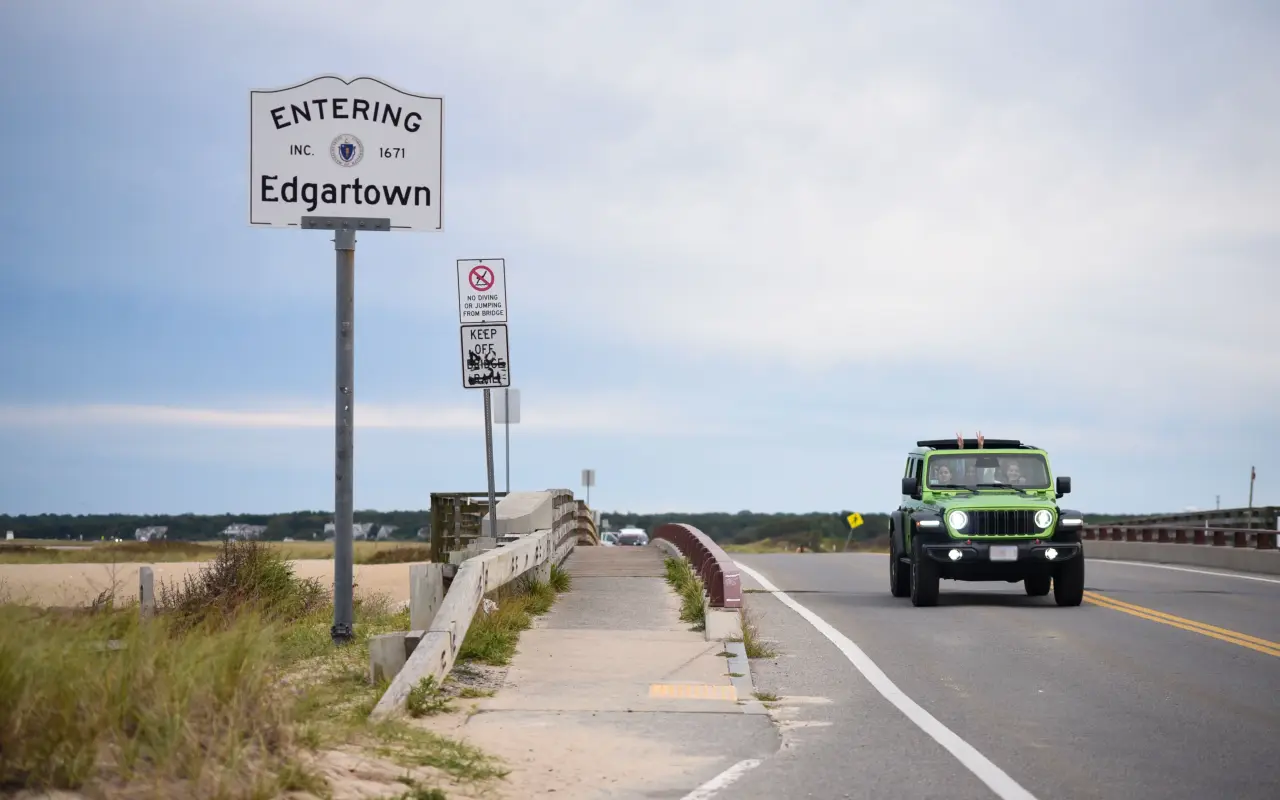
Beach Road · the town linePhoto by MV Vacation
The Entering Edgartown sign at the Oak Bluffs town line on Beach Road, the bridge and the pond just behind it.
Birdwatching and ecology
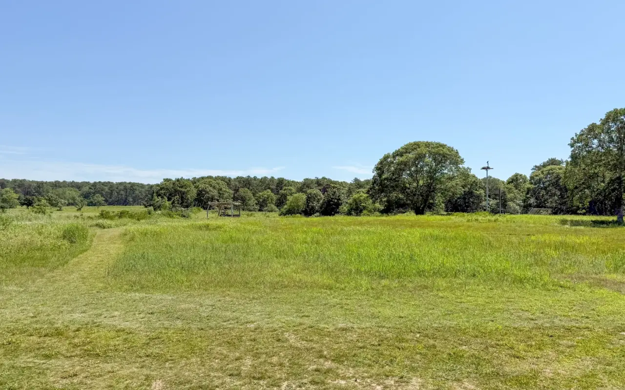
A meadow · summerPhoto by MV Vacation
An open meadow with a mown path under a clear summer sky.
Felix Neck Wildlife Sanctuary (a 194-acre Mass Audubon property at 100 Felix Neck Drive, Edgartown) borders the pond and hosts a wide variety of birds year-round, among them osprey (over 100 nesting pairs on the island), great and snowy egrets, herons, federally protected piping plovers and least terns, cormorants, barn owls and kingfishers. Bioluminescence shows on some summer nights. Felix Neck trails are open dawn to dusk ($4/adult, free for Mass Audubon members).
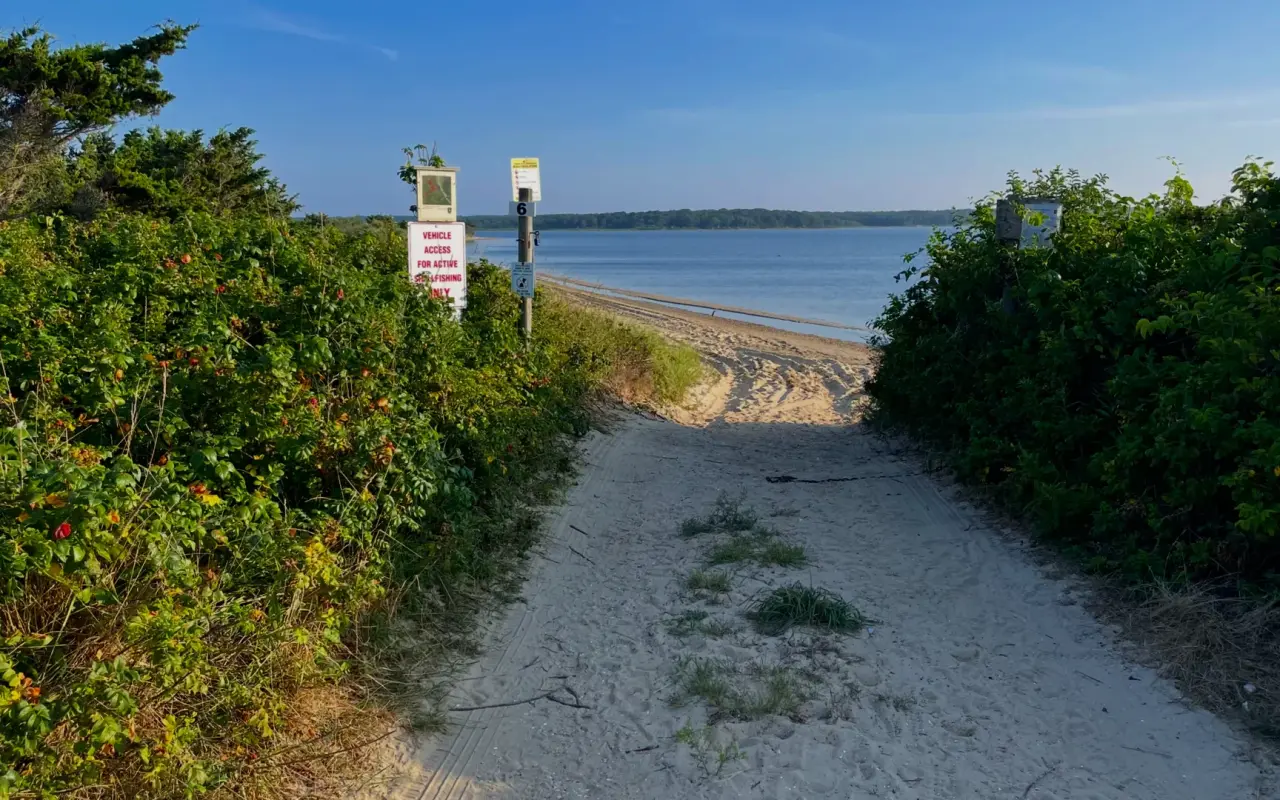
Oak Bluffs · a pond pathPhoto by MV Vacation
A sandy path through the beach roses down to the pond, the rules posted at the entrance.
For beach days
The Beach Guide, free
All 20 beaches with parking, stickers, lifeguards and dog rules, plus a one-page card for the beach bag. Free with the island letter, together with three more island guides.
One-click unsubscribe, and we never share your email.
Kayaking
The calm, shallow, sheltered water makes this one of the best kayaking spots on the island:
Island Spirit Kayak at Little Bridge on State Beach: single, tandem and triple kayak and paddleboard rentals from two hours up, plus summer Kids Adventure weeks (ages 6–14)
Felix Neck Wildlife Sanctuary: guided naturalist-led kayak tours, moonrise and sunset paddles (the October 2026 moonrise tour lists at $65 for members and $78 for non-members), and self-guided quests
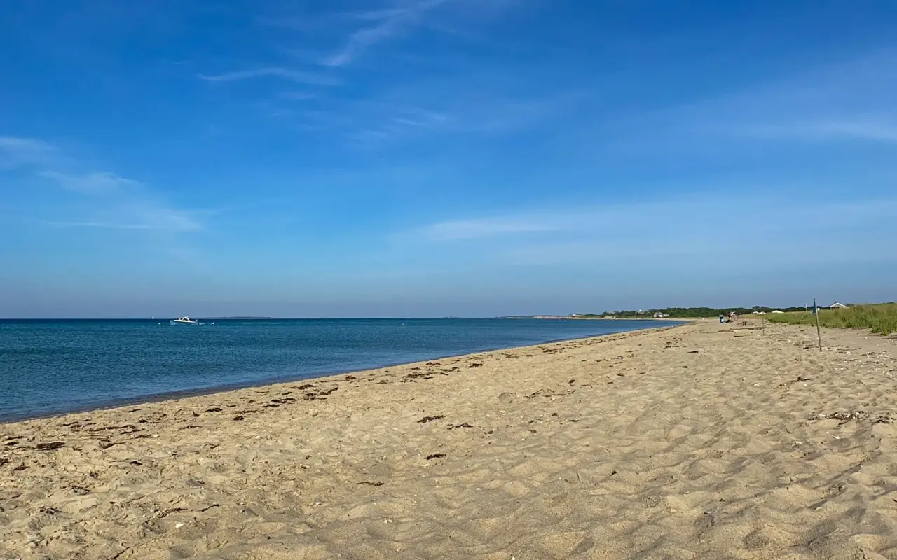
Oak Bluffs · a calm beachPhoto by MV Vacation
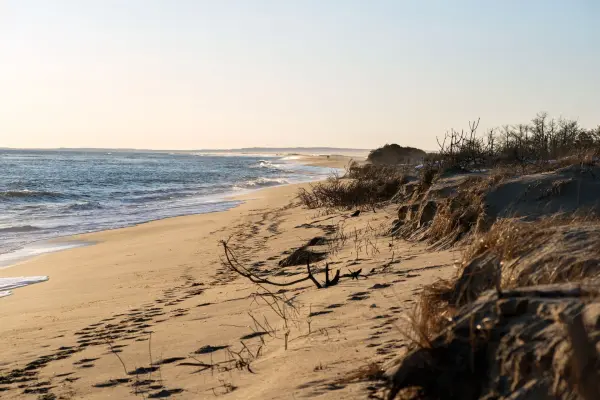
A long, calm beach on a clear summer day. Along State Beach the Sound is on one side of the road and the pond is on the other.
Fishing and shellfishing
Bay scallops and quahogs are the primary shellfish species (town permit required), and each town sets its own scallop opening day in the fall. In 2026 Oak Bluffs set October 17 as the opening of recreational scalloping in Sengekontacket, and Edgartown's family season opened October 1 (dip nets only in the ponds). Hand harvest and diving only; no dragging. From May through September the pond is only conditionally open: more than 0.2 inch of rain closes it for five days, a big storm can close it for weeks until state tests come back clean, and Majors Cove has its own seasonal closure. Striped bass, bluefish, and scup are caught near the inlets, especially during the annual Martha's Vineyard Striped Bass and Bluefish Derby (September–October). Permits, limits and the island's other shellfish waters are in our oysters and scallops guide. The island's other ponds, and the science behind the closures, are in our ponds guide.
Without a car, State Beach and Sengekontacket Pond are easy to reach on VTA Route 13 or the Beach Road bike path; our car-free guide has the rest.
Exploring the town? Start with our complete Oak Bluffs guide: food, beaches and parking.
It is a long, shallow tidal pond between Oak Bluffs and Edgartown, separated from Nantucket Sound by State Beach and Beach Road.
Is this the Jaws pond?
Yes. The American Legion Memorial Bridge, the “Jaws Bridge”, spans the larger of the pond’s two tidal inlets, and the shark swims through this channel in the film. Posted signs prohibit jumping and diving from the bridge and the current through the channel is strong.
Can I kayak here?
It is one of the best kayaking spots on the island: calm, shallow, sheltered water. Island Spirit Kayak rents singles and tandems at Little Bridge on State Beach.
What birds will I see?
Felix Neck, the Mass Audubon sanctuary on the pond’s shore, hosts a wide variety of birds year-round: ospreys, great and snowy egrets, herons, piping plovers and least terns, cormorants, barn owls and kingfishers. Trails are open dawn to dusk, $4 an adult.
Can I go shellfishing?
Yes, with a permit from the town whose side of the pond you dig, Oak Bluffs or Edgartown. The pond was closed from July 8 to August 28, 2026 after the summer storms, and the state closed it again with every other shellfish area before the September 26 nor'easter, reopening areas in stages as tests come back clean. Majors Cove has its own seasonal closure, and the pond closes for a while after heavy rain, so check the Oak Bluffs shellfish department before you dig. Each town's permit and limits are in our shellfishing permits guide.
Four free downloads · 2026 editions
Four island guides, in your inbox
The Beach Guide (all 20 beaches decoded), The Vineyard in the Fall, the season date by date, Where to Stay, every town and price band, and What It Really Costs, the 2026 budget line by line. All four PDFs free, plus a short island letter when there is something worth telling. No schedule, no spam.
No spam, unsubscribe in one click. Want a look first? See what you get.
First email ever from us? Give it a minute, and peek in spam once.
Disclaimer: The information in this article is provided for general guidance only and was accurate at the time of writing. Beach conditions, hours, prices, lifeguard schedules, ferry fares, and business operations change frequently and without notice. Ocean swimming carries inherent risks including rip currents, undertow, and cold water shock. Always verify current conditions with official local sources before your visit. MV Vacation assumes no responsibility for any loss, injury, or inconvenience resulting from the use of this information. Swim only where lifeguards are on duty, supervise children at all times near water, and follow all posted safety signs.
A guide to Martha's Vineyard, written on the island: beaches, dining, events and island living. We write down what we know about the island so your trip goes the way you hoped.
The Martha's Vineyard Songwriters Festival, September 17 to 20, 2026: a free kickoff at Nomans and three nights of Nashville writers at the Strand Theatre in Oak Bluffs, with our photographs from inside the Strand, the night-by-night lineups and practical notes for next year.
The Feast of the Holy Ghost in Oak Bluffs, held every third full weekend of July since 1928: the Queen Isabel legend behind the free soup, the Sunday parade from the ferry up Circuit Avenue, the crown blessed at Our Lady Star of the Sea, the sopas at the Portuguese-American Club, the club the rest of the year, and how a visitor should behave at the island's Portuguese feast.
Rip currents, tidal channels, sharks, bacteria closures, wartime ordnance and cold water: the Martha's Vineyard beach safety guide, with the 2026 incidents (the Long Point drowning, the Norton Point possible shark bite, the Lucy Vincent sighting), which beaches have lifeguards and when they leave, how to escape a rip, and where the hospital is.
East Chop Lighthouse in Oak Bluffs: the 1878 cast-iron tower on Telegraph Hill, the Sunday sunset openings run by the Martha's Vineyard Museum, the semaphore and Chocolate Lighthouse history, and the bus stop and parking below the hill.
Shearer Cottage, Dorothy West, the Inkwell and 30 marked sites across the island: how to walk or tour the African American Heritage Trail of Martha's Vineyard.
Which Martha's Vineyard beaches are open to visitors, which need stickers or permits, and what everything costs in 2026: town by town, gate by gate.
Island tip of the dayTimingNo. 61 of 79New tip at midnight, island time
Visit Edgartown on a Tuesday or Wednesday. Same beautiful town, maybe 30% of the weekend crowds. Most restaurants have availability without reservations.
Useful?
More on
Subscribe
The free island library · 2026
One short island letter, and all four guides to start
Beach reports, events worth a day, ferry heads-ups. Sent when there is something worth telling. The Beach Guide, The Vineyard in the Fall, Where to Stay and What It Really Costs arrive with your welcome email.
The Beach Guide, The Vineyard in the Fall, Where to Stay and What It Really Costs. No spam, one-click unsubscribe.
We use cookies for trip planning, site stats and ads, including ads based on your browsing. To opt out, turn on Global Privacy Control in your browser. Cookie policy
These cookies are essential for the website to function properly.
These cookies help us understand how visitors interact with the website.
These cookies are used to deliver personalized advertisements.