Travel advisorySteamship Authority travel advisory · Gale Warning on the ferry waters until Fri 2 PMGusty winds are forecast for Cape Cod and the Islands that will have the potential to cause cancellations on both the Hyannis-Nantucket and Woods Hole-Martha's Vineyard routes through Thursday. We are waiving change and cancellation fees for travel scheduled for Tuesday, October 20, through Thursday, October 22.Steamship Authority · checked 4:15 PM ET
By MV VacationUpdated 21 Oct, 202614 mins read 1,846 views
South Beach (Katama Beach) is Martha's Vineyard's top Atlantic surf beach: free parking, lifeguards, a long stretch of sand and powerful waves in Edgartown.
South Beach, also called Katama Beach, is Martha's Vineyard's big Atlantic beach, stretching along Edgartown's south shore with free parking, powerful surf, and dramatic erosion that reshapes it year to year. The name "Katama" comes from the Wampanoag word meaning "crab-fishing place." On peak summer days it is one of the island's busiest beaches, but it is big enough that it rarely feels crowded.
All parking at South Beach is free, with no sticker, fee or reservation. From Edgartown center you drive south on Katama Road (~3 miles). At the fork, the right fork (Herring Creek Road) leads to the main parking lot at the western end, and the left fork (Katama Road) reaches the eastern end near Norton Point. Atlantic Drive runs one mile between the two forks with street-side parking and seven dune-path access points.
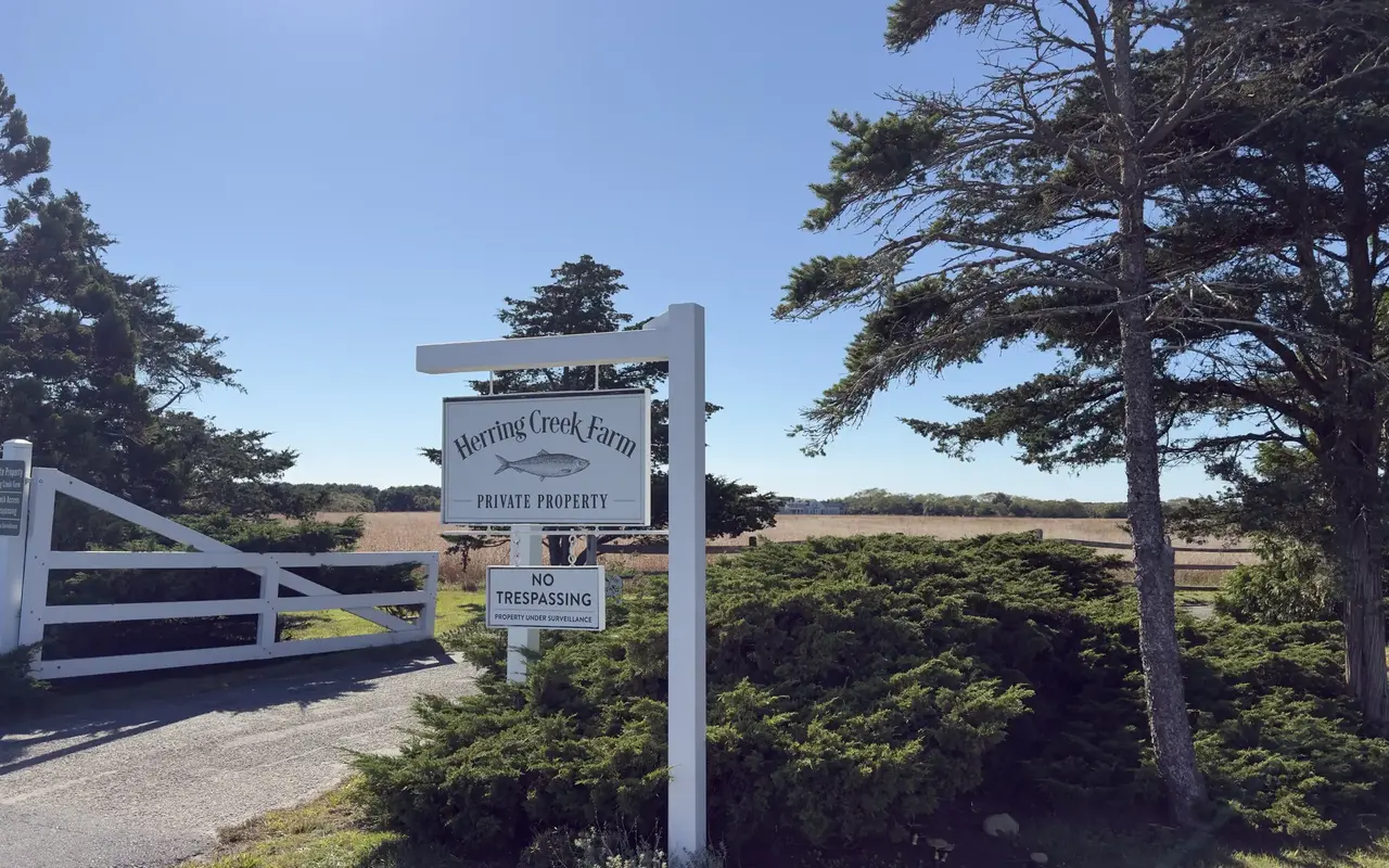
Katama · Herring Creek FarmPhoto by MV Vacation
The white gate of Herring Creek Farm in Katama, with open fields behind it. The signs say Private Property, No Beach Access and No Trespassing, so the way onto South Beach is the public parking at the forks and along Atlantic Drive.
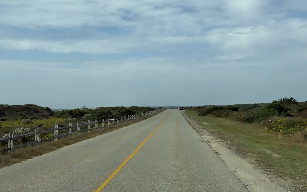
South Beach · the road behind the dunesPhoto by MV Vacation
The road behind the dunes at South Beach, with a split-rail fence on one side, goldenrod in bloom and a wide grassy edge on the other.
On weekends in July and August, parking fills by 10:00 AM. Weekday mornings and the shoulder season (May–June, September) are much easier. The address is 555 Katama Road, Edgartown. From any parking spot the water is five minutes or less away on fenced paths through the dunes.
Getting here without a car
VTA Bus Route 8 runs from downtown Edgartown to the Right Fork end of the beach, by the main lot, in about 11 minutes. In summer 2026 erosion cut off the Left Fork stop, so the Right Fork was the place to get off; the off-season timetable lists both forks again, conditions permitting. The bus is currently fare-free. A flat, paved bike path runs the full 3 miles from downtown, about 15 minutes by bike, and there are bike racks at both ends of Atlantic Drive.
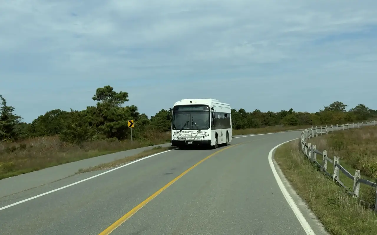
Katama · the road to South BeachPhoto by MV Vacation
A VTA bus on the curve out by South Beach, bike rack on the front and the paved path running alongside. Route 8 is the easy way down from Edgartown, and it is fare-free.
The surf
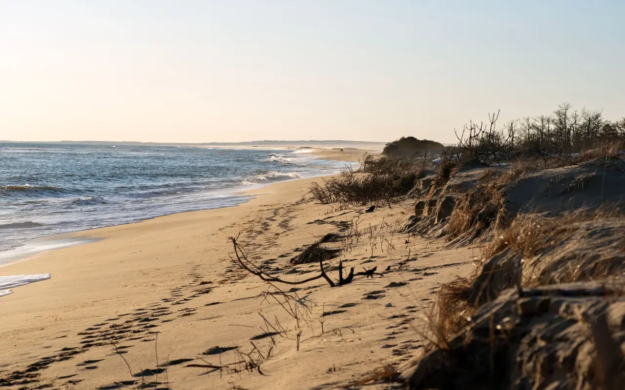
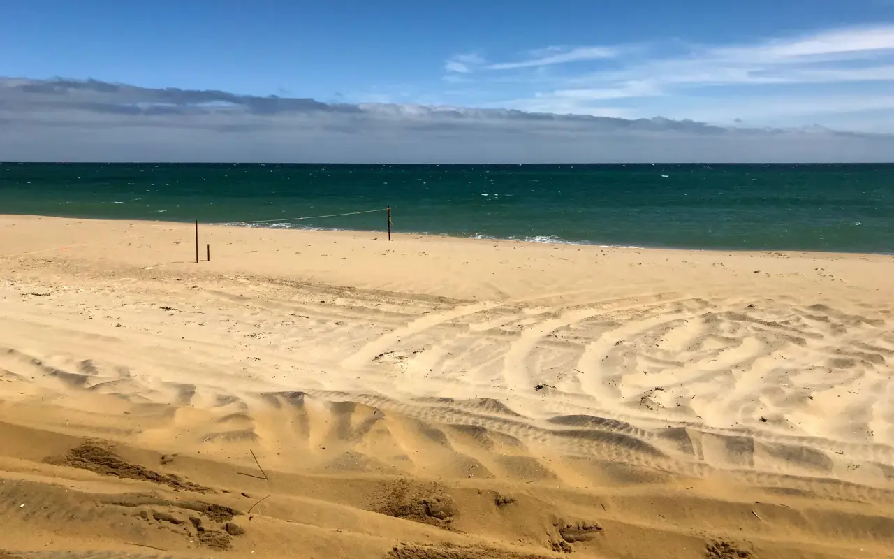
The Atlantic side · low sunPhoto by MV Vacation
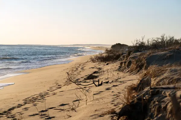
Low sun, small waves and a cut dune on an open ocean beach, a sign of how much sand the winters take. South Beach faces the open Atlantic.
With nothing between the shoreline and the open Atlantic, South Beach gets the strongest and most consistent surf on Martha's Vineyard. Typical summer waves run 1–3 feet (knee-to-waist high), with storm swells reaching 6–10+ feet. The best surf comes in fall (September–November), when the Atlantic storm season sends in steady, powerful swells.
For board surfing, South Beach is rated intermediate to advanced: fast-breaking beach breaks with shifting sandbars that create peaks and occasional barrels, mostly breaking right. It works best on an incoming tide with offshore (north/northwest) winds. On this south-shore beach the water peaks at about 68°F in August, a few degrees below the Sound side. June averages 59°F, cold enough for a wetsuit, and July reaches 65°F, cool but swimmable. September holds about 66°F with thinner crowds. Winter surfers face water in the mid 30s to low 40s.
For lessons, 6K6 Surf School (917-607-2842, marthasvineyardsurflessons.com) teaches private and group lessons for all ages and rents boards; it has been on the island since 2003. The Boneyard Surf Shop on Main Street in Edgartown, the island's surf shop for 25 years, announced at the end of August 2026 that it was closing once its stock sells out, and the owners are moving their Dune menswear store into the space. For surf gear, The Green Room in Vineyard Haven sells it year-round, and 6K6 Surf School (above) rents boards with its lessons.
For beach days
The Beach Guide, free
All 20 beaches with parking, stickers, lifeguards and dog rules, plus a one-page card for the beach bag. Free with the island letter, together with three more island guides.
One-click unsubscribe, and we never share your email.
Rip currents and sharks
"This is a serious beach," head lifeguard Brian Jordan told Martha's Vineyard Magazine in 2019. Rip currents form often in summer, because the steep underwater slope and shifting sandbars open rip channels in new places. In 2017 the head guard put the staff's rescues at about two a week.
Lifeguards work five watch stands from mid-to-late June through Labor Day, typically 10:00 AM to ~5:00 PM. A team of 20+ guards staffs the beach, employed by the Edgartown Parks Department.
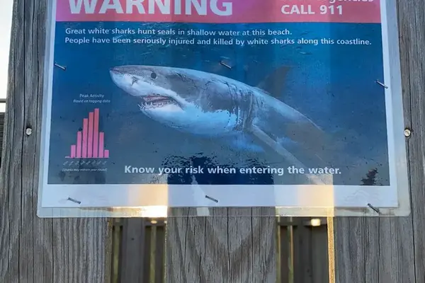
South Beach has been called "ground zero for shark sightings" on Martha's Vineyard. Blue flags signal marine life sightings and bring the standard two-hour swimming closure. On August 31, 2026 a swimmer at neighboring Norton Point was treated for a lower-leg wound, and on September 9 the state’s shark biologist confirmed it as a shark bite, most likely a sandbar shark: the first unprovoked bite in the island’s recorded history, not life-threatening. Swimming at South Beach and Norton Point was suspended for a few hours that day. Precautionary closures happen several times a summer as white shark numbers rebound, and the Sharktivity app tracks sightings.
If a rip current catches you, swimming parallel to shore gets you out of the channel; then angle back toward the beach, and wave your arms so the lifeguards see you. Our beach safety guide has the full technique, the tidal channels and the 2026 shark incidents.
Norton Point: four-wheel drive and the 2026 breach
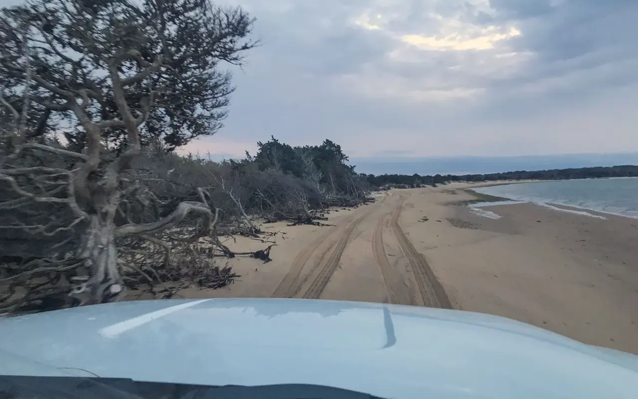
Katama to Chappaquiddick · the over-sand drivePhoto by MV Vacation
Tire tracks on the over-sand drive between Katama and Chappaquiddick, dead trees on the dune side and calm water on the other. Norton Point runs east toward Chappaquiddick: oversand permits, four-wheel drive, and a breach that moves with the storms.
Norton Point Beach extends 2.5 miles east from South Beach toward Chappaquiddick. It is owned by Dukes County and has been managed by the Town of Edgartown since 2023. Driving it takes an OSV permit, 4WD, tires deflated to 15 psi and a 15 mph speed limit, and you need a shovel, tow rope and low-pressure tire gauge aboard. Historical pricing: $90 (islander) / $140 (off-island) seasonal, $30/$60 daily. Edgartown Parks: (508) 627-6145. Norton Point permits are separate from the Trustees' Chappaquiddick OSV permits ($250 in 2025–26).
On January 1, 2026, surging swells broke through the barrier beach and opened a breach that measured 502 feet a week later, so Chappaquiddick is once again a true island. The breach is still open this fall and may stay that way for years; the 2007 breach lasted eight. Norton Point is open for OSV access, but you cannot drive through to Chappaquiddick.
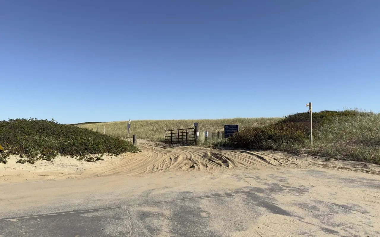
Norton Point · the Left Fork entrancePhoto by MV Vacation
The vehicle entrance to Norton Point at the Left Fork: a gate, sand chewed up by tires and the sign that reads 4 Wheel Drive Vehicles Only, Speed Limit 15, Deflate Tires and Permits Required. With the 2026 breach still open, the drive ends short of Chappaquiddick.
Piping plover closures (May–August) can shut entire sections. Norton Point allows leashed dogs only outside plover season (no dogs April 1 through August 31, none 9 AM to 5 PM September 1 to 15); South Beach proper bans dogs entirely.
The sand and the three sections
On the sand · room to spread outPhoto by MV Vacation
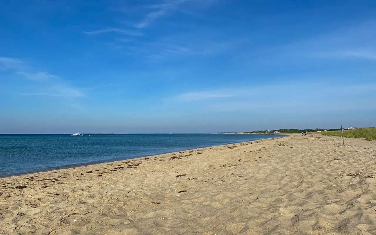
South Beach is long enough that even in August you can walk a while and find your own stretch of sand.
South Beach's soft, golden-yellow sand stretches for more than a mile, with the Atlantic on the south and calm Katama Bay on the north. The beach slopes gently to a sandbar ridge, then drops off into deeper water, which is worth knowing with kids, since they can disappear from view past the ledge. The beach narrows a lot at high tide, so arriving around low tide gives you the most room.
The western end (Right Fork) is the busiest, with the main parking lot. The eastern end (Left Fork) leads to Norton Point and has lost more to erosion. The middle section along Atlantic Drive is generally the quietest. South Beach is not clothing-optional. The island's nude beaches are Moshup Beach in Aquinnah and a section of Lucy Vincent Beach in Chilmark.
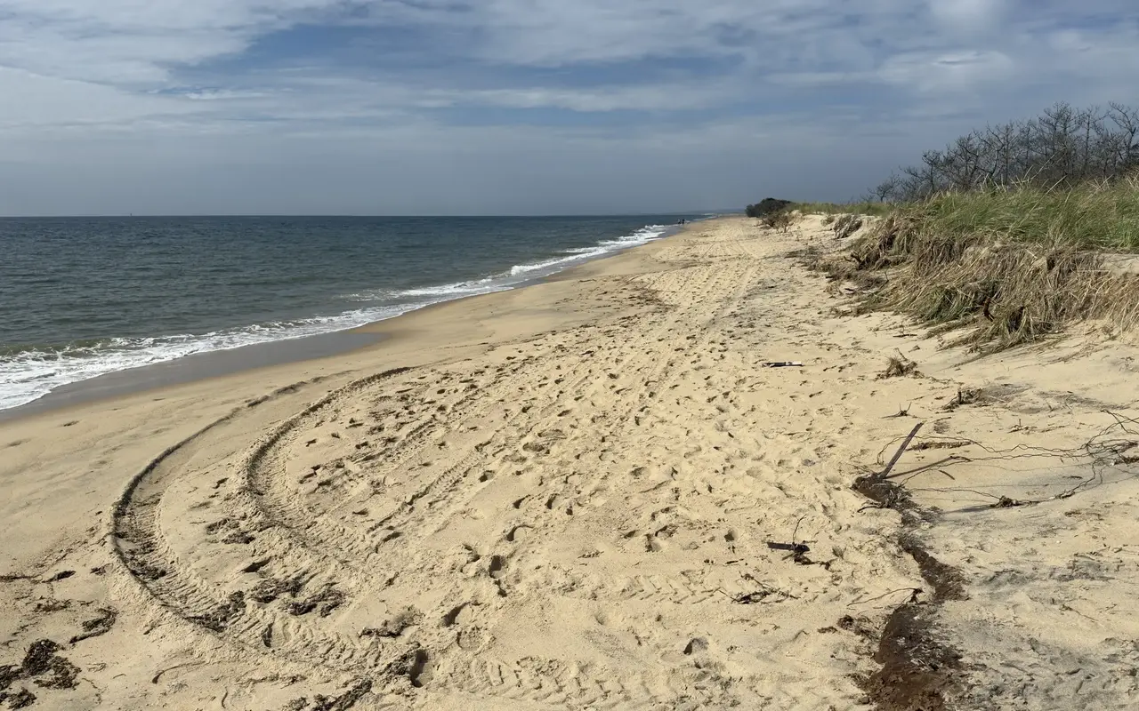
South Beach · between the forksPhoto by MV Vacation
The stretch between the forks on a quiet day: open sand crossed by tire tracks and a dune face cut back into a steep edge, beach grass and roots hanging over it. This is what the yearly erosion looks like up close.
World War II history and Jaws
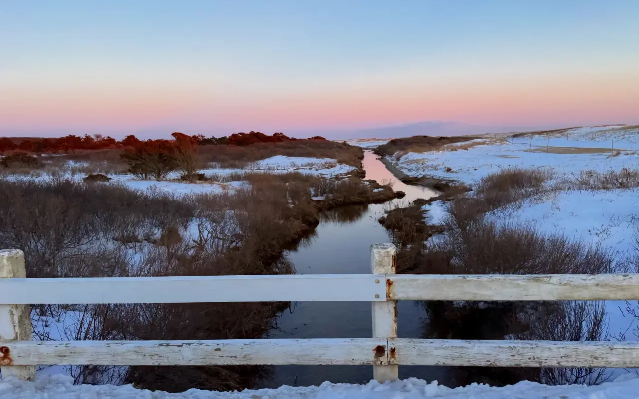
Winter · a marsh creekPhoto by MV Vacation
A snowy marsh creek under a pink winter sky. WWII training ran along the Katama shore, and the island’s famous shark film was shot just up the coast.
During World War II the beach was a Navy gunnery range: the historical marker for the Former Moving Target Machine Gun Range says Naval Air Station Quonset Point, Rhode Island, used ranges here from 1943 to 1946, first for machine gun practice and later for air-to-ground rockets. Old practice rockets still wash out of the sand now and then; in February 2022 the State Police bomb squad detonated one found on South Beach.
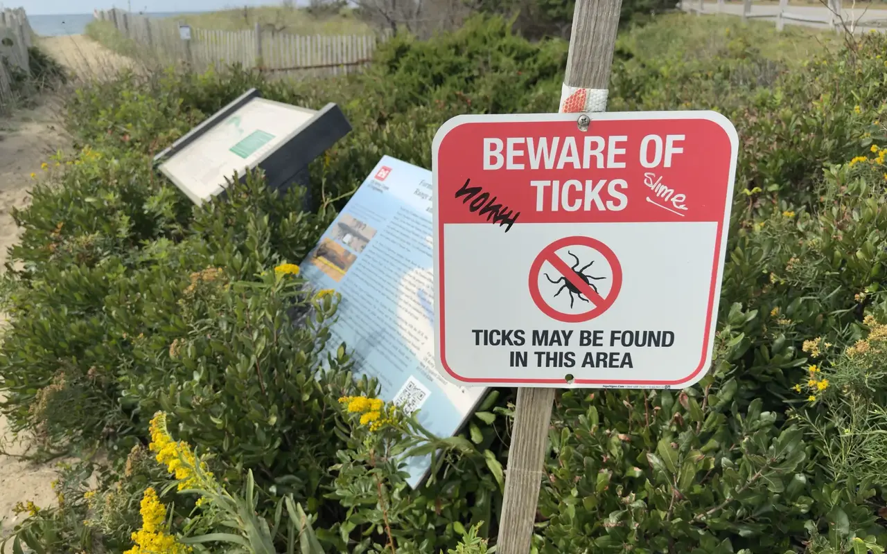
South Beach · a dune pathPhoto by MV Vacation
One of the dune paths down to the water. Behind the tick sign stand the state dune sign and a U.S. Army Corps of Engineers panel on the old military range. The tick sign is fair warning about the scrub on either side.
The opening scene of Steven Spielberg's 1975 film Jaws, Chrissie running through the dunes, was filmed at South Beach.
Facilities
South Beach is deliberately undeveloped, with no concessions, rentals or showers. There are seasonal porta-potties at the Herring Creek Road end, basic changing areas at both ends and bike racks at both ends of Atlantic Drive.
No food vendors work the beach, so bring food, water, sunscreen, chairs, an umbrella and towels.
Where to eat nearby
Katama Kitchen (12 Mattakesett Way, at Katama Airfield): on the way to the beach, with tables looking out over the grass runway. Breakfast runs 8 to noon (pancakes, omelettes, a duck confit hash), then lunch and dinner to 9: chowder, a smash burger, falafel wraps, and a lobster roll the online menu lists at $32. It is seasonal, so check its hours before you go.
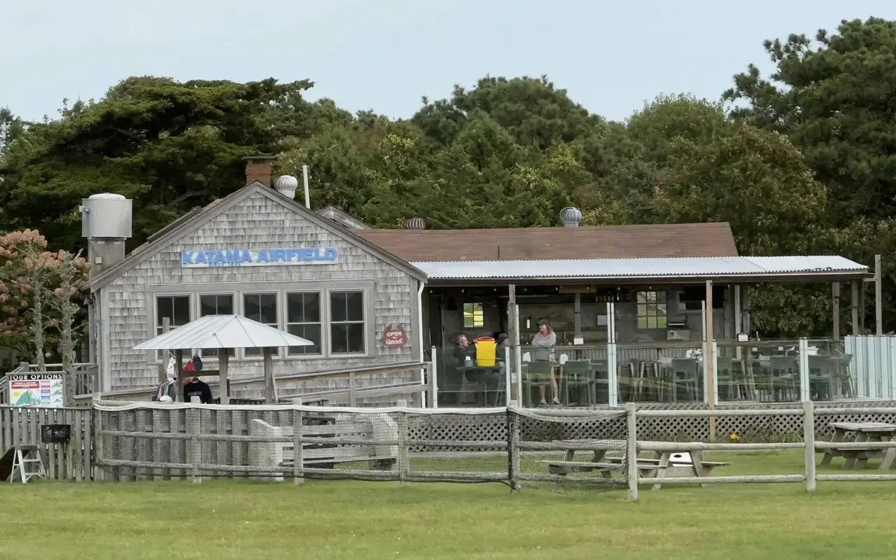
Katama · Katama AirfieldPhoto by MV Vacation
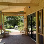
Katama Kitchen at Katama Airfield in October, the deck tables behind glass and an Open til Sunset sign by the door.
Katama General Store (170 Katama Road, "KatGen"): 1.5 miles from the beach. Sandwiches, the scones people talk about, coffee, craft beer and ice cream on a wraparound porch. It is worth checking its 2026 status before you go: the property was listed for sale in 2024 at $5.5M and showed reduced hours in late 2025. Call: (508) 627-5071.
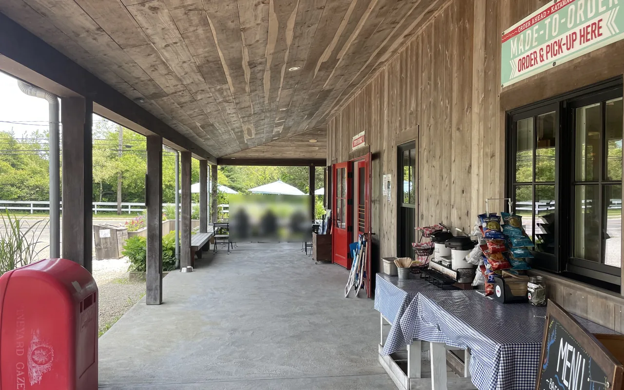
Katama · general store porchPhoto by MV Vacation
The general store porch on the way to South Beach: order window, Adirondack chairs, a Gazette box and the umbrellas out back.
The Dunes at Winnetu Resort: upscale dining adjacent to the eastern end, accessible by water taxi from Edgartown. Morning Glory Farm (West Tisbury Road) is the picnic stop. Downtown Edgartown restaurants are 3–4 miles / 10 minutes by car.
South Beach or State Beach
Calm water · the family choicePhoto by MV Vacation
Calm water and a long, quiet stretch of sand. State Beach is calm, shallow and warm, the family choice when the surf is too much.
South Beach is the adventure beach and State Beach the family one. South Beach faces the open Atlantic, with powerful surf, rip currents and a steep drop-off, good for bodyboarding and experienced swimmers. State Beach faces calm Nantucket Sound, with gentle waves, a gradual slope and warmer water, which suits families with small children. Both are free; South Beach is guarded in summer, State Beach only at its Edgartown end, on Bend in the Road. Most people end up at both.
Rules and timing
Dogs are banned at all times, and so are alcohol, open fires and amplified music; trash is carry in, carry out. July and August have the peak weather (air 76–83°F, water about 68°F on this side). September has warm water and thinner crowds, and weekday mornings in June and September are the warm, quiet windows.
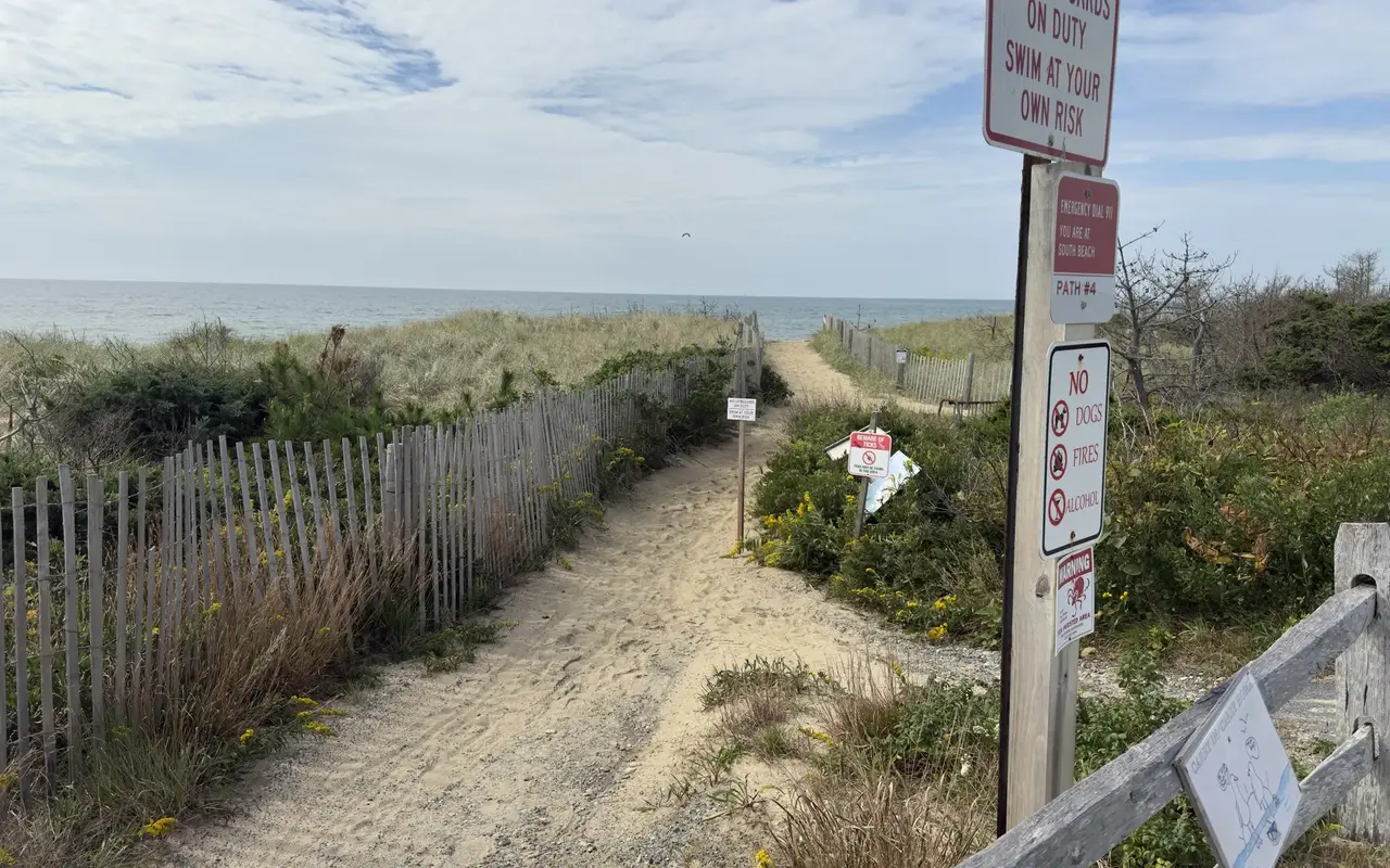
South Beach · Path #4Photo by MV Vacation
The top of Path #4, with most of the rules on one post (no dogs, fires or alcohol, and a tick warning) and a path number that tells a 911 call exactly where you are. Lifeguards work the stands from late June through Labor Day; outside those weeks the No Lifeguards sign applies.
Storm damage after the winter of 2023–2024 was bad enough that Edgartown expected repairs to cost about $1.76 million, so what is true one year may change the next.
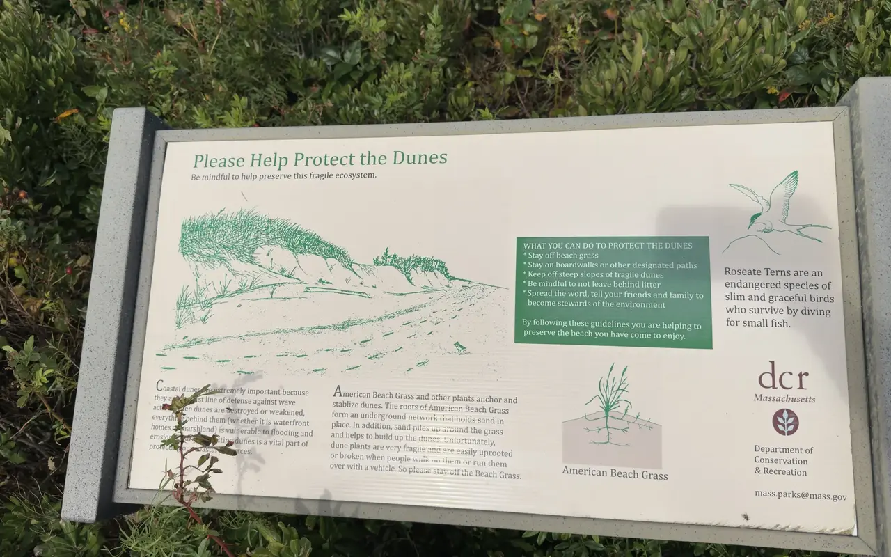
South Beach · by a dune pathPhoto by MV Vacation
The state sign beside one of the dune paths explains how American beach grass holds the dunes up: its roots knit the sand together and the grass catches blowing sand. It also introduces the roseate tern, an endangered bird that fishes by diving.
Water quality is excellent, thanks to the strong flushing of the open ocean. The Wampanoag Environmental Laboratory tests 40+ MV beaches weekly throughout summer. No bacteria-related closures have been documented in recent years.
Is parking at South Beach free, and when does it fill up?
Parking is free, with no sticker or reservation. The main lot sits at the end of Herring Creek Road, with more street parking along Atlantic Drive. On July and August weekends the spaces are gone by about 10 AM, so come early or aim for a weekday morning.
Can I get to South Beach without a car?
Yes. VTA Route 8 runs from downtown Edgartown to the Right Fork end of the beach, by the main lot, in about 11 minutes, and it's fare-free through June 30, 2027. Erosion closed the Left Fork stop in summer 2026; the off-season timetable lists it again. The flat, paved bike path from town covers the 3 miles in roughly 15 minutes, with racks at both ends of Atlantic Drive.
Is South Beach safe for kids?
With care. The surf is the strongest on the island, rip currents form almost daily in summer, and there is a drop-off past the sandbar where small children can vanish from view. Swim near the lifeguard stands, staffed roughly 10 AM to 5 PM from late June through Labor Day. Families with little ones often prefer State Beach.
Are dogs allowed at South Beach?
No. Dogs are banned at South Beach at all times. Neighboring Norton Point allows leashed dogs only outside plover season, with no dogs from April 1 through August 31, so plan a dog walk elsewhere on a summer visit.
What should I bring?
Everything you need for the day. There are no concessions, rentals or showers, just seasonal porta-potties at the Herring Creek Road end and basic changing areas. Pack food, water, sunscreen, chairs, an umbrella and towels, and carry your trash out. The nearest sandwich stop is the Katama General Store, 1.5 miles back toward town.
When is the best time to visit South Beach?
Many people like September: the water here still holds about 66°F, the crowds thin out, and the fall swells bring the best surf. In any month, weekday mornings are calmest, and arriving near low tide gives you the most sand, since the beach narrows a lot at high tide. Our beach safety guide covers rips and shark closures.
Island tip of the dayTimingNo. 58 of 79New tip at midnight, island time
Oak Bluffs restaurants are packed 6–8 PM. Eat at 5 PM or after 8:30 PM: same food, half the wait, easier parking.
Useful?
More on
Four free downloads · 2026 editions
Four island guides, in your inbox
The Beach Guide (all 20 beaches decoded), The Vineyard in the Fall, the season date by date, Where to Stay, every town and price band, and What It Really Costs, the 2026 budget line by line. All four PDFs free, plus a short island letter when there is something worth telling. No schedule, no spam.
No spam, unsubscribe in one click. Want a look first? See what you get.
First email ever from us? Give it a minute, and peek in spam once.
Disclaimer: The information in this article is provided for general guidance only and was accurate at the time of writing. Beach conditions, hours, prices, lifeguard schedules, ferry fares, and business operations change frequently and without notice. Ocean swimming carries inherent risks including rip currents, undertow, and cold water shock. Always verify current conditions with official local sources before your visit. MV Vacation assumes no responsibility for any loss, injury, or inconvenience resulting from the use of this information. Swim only where lifeguards are on duty, supervise children at all times near water, and follow all posted safety signs.
A guide to Martha's Vineyard, written on the island: beaches, dining, events and island living. We write down what we know about the island so your trip goes the way you hoped.
Rip currents, tidal channels, sharks, bacteria closures, wartime ordnance and cold water: the Martha's Vineyard beach safety guide, with the 2026 incidents (the Long Point drowning, the Norton Point possible shark bite, the Lucy Vincent sighting), which beaches have lifeguards and when they leave, how to escape a rip, and where the hospital is.
Complete guide to all 20 Martha's Vineyard beaches: parking costs, lifeguard schedules, dog rules, swimming safety, sticker requirements, and ADA access.
Sengekontacket Pond in Oak Bluffs is a 745-acre coastal pond on Martha's Vineyard and a favorite spot for kayaking and birding.
Subscribe
The free island library · 2026
One short island letter, and all four guides to start
Beach reports, events worth a day, ferry heads-ups. Sent when there is something worth telling. The Beach Guide, The Vineyard in the Fall, Where to Stay and What It Really Costs arrive with your welcome email.
The Beach Guide, The Vineyard in the Fall, Where to Stay and What It Really Costs. No spam, one-click unsubscribe.
We use cookies for trip planning, site stats and ads, including ads based on your browsing. To opt out, turn on Global Privacy Control in your browser. Cookie policy
These cookies are essential for the website to function properly.
These cookies help us understand how visitors interact with the website.
These cookies are used to deliver personalized advertisements.