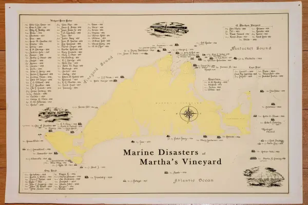

Shipwrecks Around Martha's Vineyard Historic Map Analysis
Analysis of a historic shipwreck map reveals dangerous waters around Martha's Vineyard. Over 70 documented wrecks from 1829 to 1921 tell the story.



Analysis of a historic shipwreck map reveals dangerous waters around Martha's Vineyard. Over 70 documented wrecks from 1829 to 1921 tell the story.
Get exclusive Martha’s Vineyard travel tips, hidden gems, and local guides delivered to your inbox. Stay connected like a true island insider.
Subscribe Now
Island prices, hours & details change often — please verify with businesses before you go. Full disclaimer